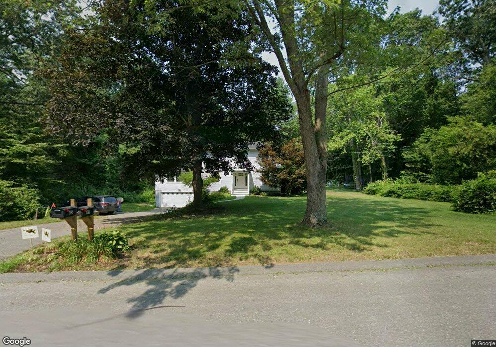
45 Park Ln Harvard, MA 01451
Estimated Value: $662,000 - $912,000
3
Beds
3
Baths
2,164
Sq Ft
$357/Sq Ft
Est. Value
About This Home
This home is located at 45 Park Ln, Harvard, MA 01451 and is currently estimated at $772,528, approximately $356 per square foot. 45 Park Ln is a home located in Worcester County.
Ownership History
Date
Name
Owned For
Owner Type
Purchase Details
Closed on
Oct 27, 2021
Sold by
Marlene Dienst Lt
Bought by
Pacific Rose M and Pacific Benjamin G
Current Estimated Value
Home Financials for this Owner
Home Financials are based on the most recent Mortgage that was taken out on this home.
Original Mortgage
$440,000
Outstanding Balance
$402,109
Interest Rate
2.8%
Mortgage Type
Purchase Money Mortgage
Estimated Equity
$370,419
Purchase Details
Closed on
Dec 28, 2020
Sold by
Dienst Marlene J
Bought by
Marlene Dienst Lt
Purchase Details
Closed on
Dec 4, 1979
Bought by
Dienst Joseph F and Dienst Marlene J
Create a Home Valuation Report for This Property
The Home Valuation Report is an in-depth analysis detailing your home's value as well as a comparison with similar homes in the area
Home Values in the Area
Average Home Value in this Area
Purchase History
| Date | Buyer | Sale Price | Title Company |
|---|---|---|---|
| Pacific Rose M | $550,000 | None Available | |
| Marlene Dienst Lt | -- | None Available | |
| Dienst Joseph F | -- | -- |
Source: Public Records
Mortgage History
| Date | Status | Borrower | Loan Amount |
|---|---|---|---|
| Open | Pacific Rose M | $440,000 | |
| Previous Owner | Dienst Joseph F | $50,000 | |
| Previous Owner | Dienst Joseph F | $110,000 |
Source: Public Records
Tax History Compared to Growth
Tax History
| Year | Tax Paid | Tax Assessment Tax Assessment Total Assessment is a certain percentage of the fair market value that is determined by local assessors to be the total taxable value of land and additions on the property. | Land | Improvement |
|---|---|---|---|---|
| 2025 | $11,162 | $713,200 | $329,900 | $383,300 |
| 2024 | $10,499 | $704,600 | $316,500 | $388,100 |
| 2023 | $10,307 | $620,500 | $281,100 | $339,400 |
| 2022 | $9,301 | $519,300 | $267,900 | $251,400 |
| 2021 | $9,204 | $490,100 | $267,900 | $222,200 |
| 2020 | $8,666 | $469,200 | $272,600 | $196,600 |
| 2019 | $8,290 | $475,900 | $272,600 | $203,300 |
| 2018 | $7,865 | $458,600 | $272,600 | $186,000 |
| 2017 | $7,374 | $407,400 | $233,600 | $173,800 |
| 2016 | $7,178 | $397,700 | $223,900 | $173,800 |
| 2015 | $7,095 | $398,800 | $219,500 | $179,300 |
| 2014 | $6,815 | $398,800 | $219,500 | $179,300 |
Source: Public Records
Map
Nearby Homes
- 166 Littleton Rd Unit 3
- 332 Old Littleton Rd
- 45 S Shaker Rd
- 78 Shaker Rd
- 18A S Shaker Rd
- 87 Ayer Rd
- 220 Swanson Rd Unit 605
- 220 Swanson Rd Unit 606
- 220 Swanson Rd Unit 604
- 176 Swanson Rd Unit 309
- 50 Spencer Rd Unit 36
- 42 Swanson Ct Unit 14A
- 58 Spencer Rd Unit 18K
- 53 Swanson Ct Unit 36C
- 150 Whitcomb Ave
- 5 Fairbank St
- 11 Fairbanks St Unit 2
- 0 Ayer & Old Mill Rd
- 24 Fairbanks St
- 17 Chestnut Ln