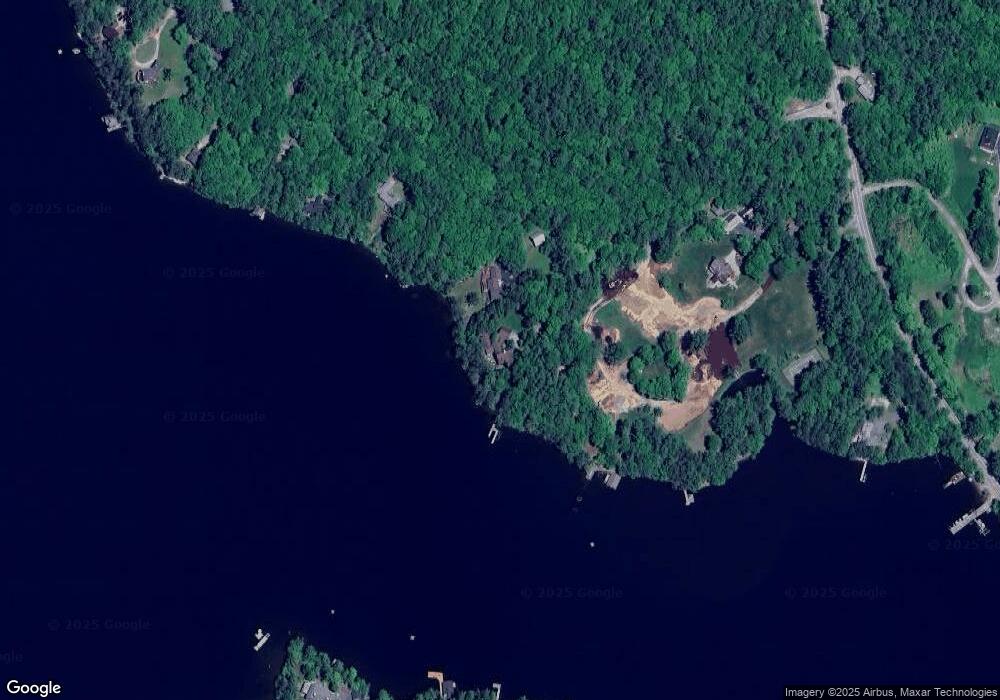
45 Pilothouse Rd New London, NH 03257
Estimated Value: $3,435,000 - $8,653,000
6
Beds
7
Baths
8,126
Sq Ft
$663/Sq Ft
Est. Value
About This Home
This home is located at 45 Pilothouse Rd, New London, NH 03257 and is currently estimated at $5,386,719, approximately $662 per square foot. 45 Pilothouse Rd is a home located in Merrimack County with nearby schools including Kearsarge Elementary School - New London, Kearsarge Regional Middle School, and Kearsarge Regional High School.
Ownership History
Date
Name
Owned For
Owner Type
Purchase Details
Closed on
Apr 3, 2013
Sold by
Frieze Kenneth S
Bought by
Kenneth S Frieze T
Current Estimated Value
Create a Home Valuation Report for This Property
The Home Valuation Report is an in-depth analysis detailing your home's value as well as a comparison with similar homes in the area
Home Values in the Area
Average Home Value in this Area
Purchase History
| Date | Buyer | Sale Price | Title Company |
|---|---|---|---|
| Kenneth S Frieze T | -- | -- |
Source: Public Records
Tax History Compared to Growth
Tax History
| Year | Tax Paid | Tax Assessment Tax Assessment Total Assessment is a certain percentage of the fair market value that is determined by local assessors to be the total taxable value of land and additions on the property. | Land | Improvement |
|---|---|---|---|---|
| 2024 | $56,694 | $4,883,200 | $2,383,100 | $2,500,100 |
| 2023 | $52,787 | $4,883,200 | $2,383,100 | $2,500,100 |
| 2022 | $63,657 | $4,013,700 | $1,898,200 | $2,115,500 |
| 2021 | $61,771 | $4,013,700 | $1,898,200 | $2,115,500 |
| 2020 | $59,965 | $4,013,700 | $1,898,200 | $2,115,500 |
| 2019 | $59,042 | $4,013,700 | $1,898,200 | $2,115,500 |
| 2018 | $63,200 | $4,022,900 | $1,597,100 | $2,425,800 |
| 2017 | $38,286 | $4,022,900 | $1,597,100 | $2,425,800 |
| 2016 | $62,592 | $3,994,400 | $1,597,100 | $2,397,300 |
| 2015 | $63,629 | $4,118,400 | $1,777,500 | $2,340,900 |
| 2014 | $63,053 | $4,118,400 | $1,777,500 | $2,340,900 |
| 2013 | $56,395 | $3,747,200 | $1,438,500 | $2,308,700 |
Source: Public Records
Map
Nearby Homes
- 617 & 619 Route 103a Map 91 Lot 37 38
- 26 Otterville Rd
- 000 Farwell Ln Unit 17
- 195 Pine Hill Rd
- 10 Highland Ridge Rd
- 106-23 Fieldstone Ln
- 1024 Lake
- 770 Jobs Creek Rd
- 273 Forest Acres Rd
- 435 Messer Hill Rd
- 1279 Route 11
- 0 Prospect Hill Rd
- 0 Little Lake Sunapee Rd Unit 40 4989636
- 0 Newport Rd Unit 10
- 71 Hilltop Place
- Lot 39 Sunny Ln
- 8 Stoney Brook Rd
- 253 Lake Ave
- 57 Sunny Ln
- 14 Lake Ave Unit 1
- 99 Pilothouse Rd
- 316 Route 103a
- 125 Pilothouse Rd
- 1 Pilothouse Rd
- 157 Pilothouse Rd
- 314 Route 103a
- 1234 Pilothouse Rd
- 378 New Hampshire 103a
- 171 Pilothouse Rd
- 378 Route 103a
- 278 Poor Rd
- 224 Poor Rd
- 242 Poor Rd
- - Pilothouse Rd
- 212 Poor Rd
- Lodge Lot 1 Unit 1
- 191 Pilothouse Rd
- 275 Route 103a
- 1 Lodge Ln
- 181 Poor Rd