Estimated Value: $624,000 - $677,797
2
Beds
2
Baths
1,459
Sq Ft
$449/Sq Ft
Est. Value
About This Home
This home is located at 45 Queens Folly Rd Unit 676, Hilton Head Island, SC 29928 and is currently estimated at $654,949, approximately $448 per square foot. 45 Queens Folly Rd Unit 676 is a home located in Beaufort County with nearby schools including Hilton Head Island Early Childhood Center, Hilton Head Island Elementary School, and Hilton Head Island Middle School.
Ownership History
Date
Name
Owned For
Owner Type
Purchase Details
Closed on
Jun 6, 2014
Sold by
Sodano Joseph M and Sodano Kathleen
Bought by
The Tanis Family Trust and Tanis Marie
Current Estimated Value
Purchase Details
Closed on
Oct 9, 2009
Sold by
Offen Alan L
Bought by
Sodano Joseph M and Sodano Kathleen
Home Financials for this Owner
Home Financials are based on the most recent Mortgage that was taken out on this home.
Original Mortgage
$80,000
Interest Rate
5.04%
Mortgage Type
New Conventional
Create a Home Valuation Report for This Property
The Home Valuation Report is an in-depth analysis detailing your home's value as well as a comparison with similar homes in the area
Home Values in the Area
Average Home Value in this Area
Purchase History
| Date | Buyer | Sale Price | Title Company |
|---|---|---|---|
| The Tanis Family Trust | $240,000 | -- | |
| Sodano Joseph M | $255,000 | -- |
Source: Public Records
Mortgage History
| Date | Status | Borrower | Loan Amount |
|---|---|---|---|
| Previous Owner | Sodano Joseph M | $80,000 |
Source: Public Records
Tax History Compared to Growth
Tax History
| Year | Tax Paid | Tax Assessment Tax Assessment Total Assessment is a certain percentage of the fair market value that is determined by local assessors to be the total taxable value of land and additions on the property. | Land | Improvement |
|---|---|---|---|---|
| 2024 | $4,603 | $17,620 | $0 | $0 |
| 2023 | $4,554 | $17,620 | $0 | $0 |
| 2022 | $4,125 | $15,320 | $0 | $0 |
| 2021 | $4,137 | $15,320 | $0 | $0 |
| 2020 | $4,012 | $15,320 | $0 | $0 |
| 2019 | $3,868 | $15,320 | $0 | $0 |
| 2018 | $3,682 | $15,320 | $0 | $0 |
| 2017 | $3,578 | $14,270 | $0 | $0 |
| 2016 | $3,408 | $14,270 | $0 | $0 |
| 2014 | $2,973 | $14,270 | $0 | $0 |
Source: Public Records
About This Building
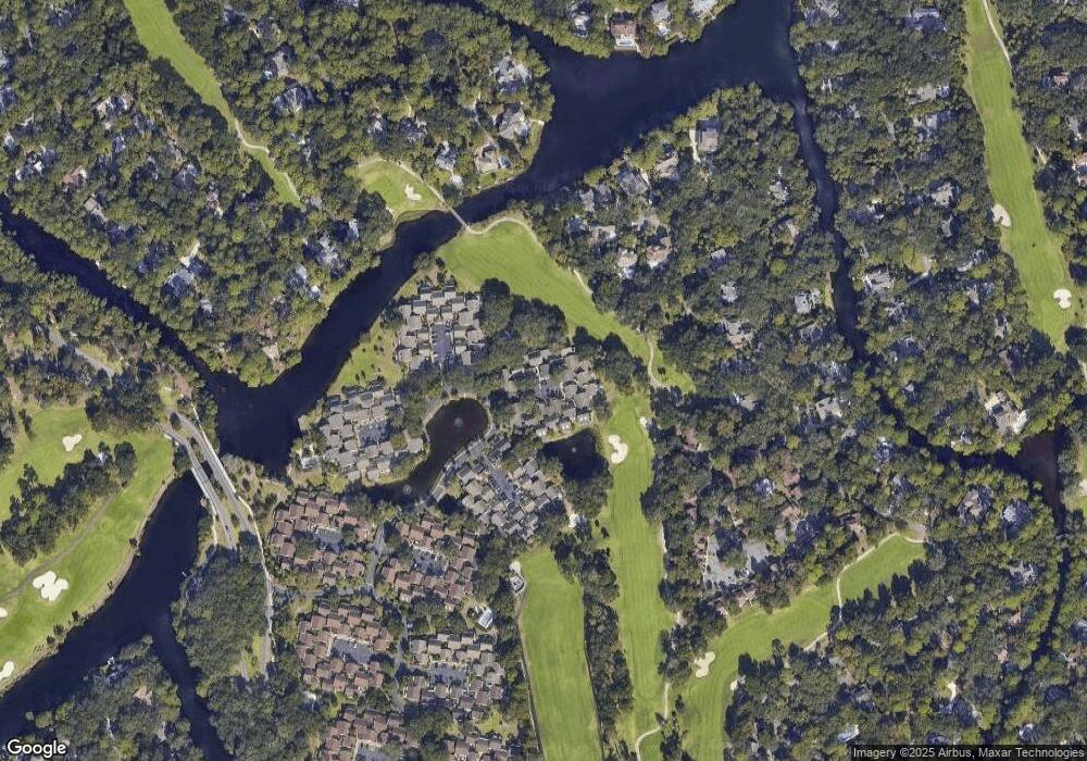
Map
Nearby Homes
- 45 Queens Folly Rd Unit 633
- 45 Queens Folly Rd Unit 652
- 45 Queens Folly Rd Unit 529
- 45 Queens Folly Rd Unit 666
- 45 Queens Folly Rd Unit 671
- 45 Queens Folly Rd Unit 677
- 45 Queens Folly Rd Unit 789
- 45 Queens Folly Rd Unit 794
- 10 Trent Jones Ln Unit 151
- 25 Mooring Buoy Unit 829
- 21 Haul Away Unit 15
- 10 Dune House Ln Unit 85
- 37 Haul Away
- 3 Armada St
- 9 Armada St
- 35 Carnoustie Rd Unit 57
- 35 Carnoustie Rd Unit 56
- 11 Armada St
- 1 Ocean Ln Unit 3332
- 1 Ocean Ln Unit 1209
- 45 Queens Folly Rd Unit 558
- 45 Queens Folly Rd Unit ID1309206P
- 45 Queens Folly Rd Unit 612
- 45 Queens Folly Rd Unit 788
- 45 Queens Folly Rd Unit 550
- 45 Queens Folly Rd Unit 603
- 45 Queens Folly Rd Unit 681
- 45 Queens Folly Rd Unit 755
- 45 Queens Folly Rd Unit 785
- 45 Queens Folly Rd Unit 647
- 45 Queens Folly Rd Unit 759
- 45 Queens Folly Rd Unit 749
- 45 Queens Folly Rd Unit 738
- 45 Queens Folly Rd Unit 620
- 45 Queens Folly Rd Unit 118
- 45 Queens Folly Rd Unit 571
- 45 Queens Folly Rd Unit 776
- 45 Queens Folly Rd Unit 647
- 45 Queens Folly Rd Unit 295
- 45 Queens Folly Rd