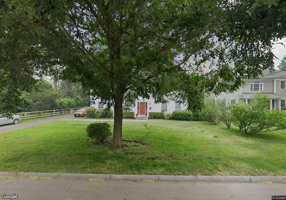
45 S Benson Commons Fairfield, CT 06824
Fairfield Center NeighborhoodEstimated Value: $1,374,000 - $1,831,000
4
Beds
4
Baths
2,638
Sq Ft
$584/Sq Ft
Est. Value
About This Home
This home is located at 45 S Benson Commons, Fairfield, CT 06824 and is currently estimated at $1,540,537, approximately $583 per square foot. 45 S Benson Commons is a home located in Fairfield County with nearby schools including Roger Sherman Elementary School, Roger Ludlowe Middle School, and Fairfield Ludlowe High School.
Ownership History
Date
Name
Owned For
Owner Type
Purchase Details
Closed on
Jun 1, 2023
Sold by
Jarret Helaine and Jarret Kenneth
Bought by
Mcgee Melissa and Mcgee Kieran J
Current Estimated Value
Home Financials for this Owner
Home Financials are based on the most recent Mortgage that was taken out on this home.
Original Mortgage
$610,000
Outstanding Balance
$590,403
Interest Rate
6.39%
Mortgage Type
New Conventional
Estimated Equity
$950,134
Purchase Details
Closed on
Jul 11, 1996
Sold by
Bigelow Sanford W and Bigelow Mary D
Bought by
Jarrett Kenneth and Jarrett Helanie
Home Financials for this Owner
Home Financials are based on the most recent Mortgage that was taken out on this home.
Original Mortgage
$135,000
Interest Rate
7.98%
Mortgage Type
Unknown
Create a Home Valuation Report for This Property
The Home Valuation Report is an in-depth analysis detailing your home's value as well as a comparison with similar homes in the area
Home Values in the Area
Average Home Value in this Area
Purchase History
| Date | Buyer | Sale Price | Title Company |
|---|---|---|---|
| Mcgee Melissa | $1,110,000 | None Available | |
| Jarrett Kenneth | $385,000 | -- | |
| Jarrett Kenneth | $385,000 | -- |
Source: Public Records
Mortgage History
| Date | Status | Borrower | Loan Amount |
|---|---|---|---|
| Open | Mcgee Melissa | $610,000 | |
| Previous Owner | Jarrett Kenneth | $135,000 | |
| Previous Owner | Jarrett Kenneth | $279,000 |
Source: Public Records
Tax History
| Year | Tax Paid | Tax Assessment Tax Assessment Total Assessment is a certain percentage of the fair market value that is determined by local assessors to be the total taxable value of land and additions on the property. | Land | Improvement |
|---|---|---|---|---|
| 2025 | $15,857 | $558,530 | $321,370 | $237,160 |
| 2024 | $15,583 | $558,530 | $321,370 | $237,160 |
| 2023 | $15,313 | $556,640 | $321,370 | $235,270 |
| 2022 | $15,163 | $556,640 | $321,370 | $235,270 |
| 2021 | $15,018 | $556,640 | $321,370 | $235,270 |
| 2020 | $15,237 | $568,750 | $284,970 | $283,780 |
| 2019 | $15,237 | $568,750 | $284,970 | $283,780 |
| 2018 | $14,992 | $568,750 | $284,970 | $283,780 |
| 2017 | $14,685 | $568,750 | $284,970 | $283,780 |
| 2016 | $14,475 | $568,750 | $284,970 | $283,780 |
| 2015 | $14,656 | $591,220 | $292,250 | $298,970 |
| 2014 | $14,426 | $591,220 | $292,250 | $298,970 |
Source: Public Records
Map
Nearby Homes
- 855 Riverside Dr
- 98 Cambridge St
- 598 S Benson Rd
- 164 Wakeman Rd
- 20 Ermine St
- 378 Penfield Rd
- 394 Penfield Rd
- 126 Lalley Blvd
- 245 Unquowa Rd Unit 2
- 245 Unquowa Rd Unit 82
- 245 Unquowa Rd Unit 6
- 345 Reef Rd Unit B6
- 345 Reef Rd Unit C9
- 15 Barton Rd
- 187 Catherine Terrace
- 88 Veres St
- 65 Thorpe St Unit 65
- 110 Pratt St
- 315 Seaside Ave
- 70 Meadow Ridge Rd
- 310 Old Post Rd
- 290 Old Post Rd
- 131 S Benson Rd
- 45 S Benson Commons
- 35 S Benson Commons
- 270 Old Post Rd
- 21 S Benson Commons
- 21 S Benson Commons
- 99 S Benson Rd
- 307 Old Post Rd
- 110 S Benson Rd
- 91 S Benson Rd
- 260 Old Post Rd
- 193 S Benson Rd
- 313 Old Post Rd
- 323 Old Post Rd
- 248 Old Post Rd
- 363 Old Post Rd
- 254 Post Rd
- 360 Old Post Rd
Your Personal Tour Guide
Ask me questions while you tour the home.