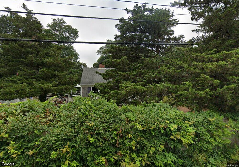
45 Salt Pond Rd Eastham, MA 02642
Estimated Value: $602,881 - $688,000
3
Beds
1
Bath
1,001
Sq Ft
$634/Sq Ft
Est. Value
About This Home
This home is located at 45 Salt Pond Rd, Eastham, MA 02642 and is currently estimated at $634,970, approximately $634 per square foot. 45 Salt Pond Rd is a home located in Barnstable County with nearby schools including Eastham Elementary School, Nauset Regional Middle School, and Nauset Regional High School.
Ownership History
Date
Name
Owned For
Owner Type
Purchase Details
Closed on
Oct 25, 2017
Sold by
Mcgrath James and Bivolcic Lori K
Bought by
Mcgrath Lori K and Mcgrath James
Current Estimated Value
Purchase Details
Closed on
Aug 4, 1993
Sold by
Mcmahon Janice
Bought by
Mcgrath James and Bivolcic Lori K
Home Financials for this Owner
Home Financials are based on the most recent Mortgage that was taken out on this home.
Original Mortgage
$95,000
Interest Rate
7.29%
Mortgage Type
Purchase Money Mortgage
Create a Home Valuation Report for This Property
The Home Valuation Report is an in-depth analysis detailing your home's value as well as a comparison with similar homes in the area
Home Values in the Area
Average Home Value in this Area
Purchase History
| Date | Buyer | Sale Price | Title Company |
|---|---|---|---|
| Mcgrath Lori K | -- | -- | |
| Mcgrath James | $100,000 | -- |
Source: Public Records
Mortgage History
| Date | Status | Borrower | Loan Amount |
|---|---|---|---|
| Previous Owner | Mcgrath James | $95,000 |
Source: Public Records
Tax History
| Year | Tax Paid | Tax Assessment Tax Assessment Total Assessment is a certain percentage of the fair market value that is determined by local assessors to be the total taxable value of land and additions on the property. | Land | Improvement |
|---|---|---|---|---|
| 2025 | $3,963 | $514,000 | $229,000 | $285,000 |
| 2024 | $3,498 | $499,000 | $222,300 | $276,700 |
| 2023 | $3,086 | $426,300 | $185,200 | $241,100 |
| 2022 | $2,904 | $338,500 | $165,400 | $173,100 |
| 2021 | $2,825 | $307,700 | $150,300 | $157,400 |
| 2020 | $2,623 | $300,800 | $153,400 | $147,400 |
| 2019 | $2,411 | $292,200 | $149,000 | $143,200 |
| 2018 | $2,369 | $283,700 | $144,600 | $139,100 |
| 2017 | $2,056 | $260,300 | $141,800 | $118,500 |
| 2016 | $1,746 | $234,700 | $118,200 | $116,500 |
| 2015 | $1,625 | $228,900 | $115,800 | $113,100 |
Source: Public Records
Map
Nearby Homes
- 21 Locust Rd Unit 21
- 3098 State Hwy
- 50 Surrey Dr
- 82 Old Orchard Rd
- 65 Cestaro Way
- 2255 State Hwy
- 600 Kingsbury Beach Rd
- 20 Stone Ct
- 1975 State Hwy Unit 9
- 255 Massasoit Rd
- 655 Herring Brook Rd
- 10 Field Rd
- 20 Oak Rd
- 330 Hay Rd
- 35 Wiley Ln
- 60 Smith Heights Way
- 295 Shurtleff Rd
- 85 Huckleberry Ln
- 255 Epanow Rd
- 1061 State Hwy Unit 4
- 35 Salt Pond Rd
- 55 Salt Pond Rd
- 49 Salt Pond Rd
- 49 Salt Pond Rd Unit 1,2,3
- 49 Salt Pond Rd Unit 1-3
- 150 Locust Rd
- 2905 State Hwy
- 130 Locust Rd
- 30 Salt Pond Rd
- 25 Salt Pond Rd
- 160 Locust Rd
- 3080 State Hwy
- 2855 State Hwy
- 3070 State Hwy
- 2 Melinda Ln
- 232 Locust Rd Unit 23
- 3085 State Hwy
- 3098 State Rte 6 Hwy
- 155 Locust Rd
- 20 Salt Pond Rd
Your Personal Tour Guide
Ask me questions while you tour the home.