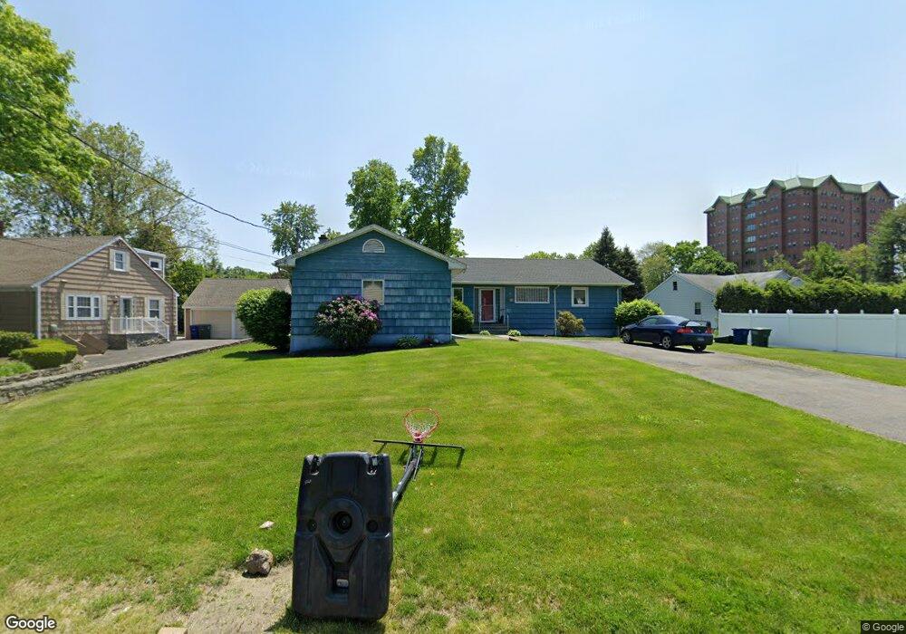
45 Saxton Dr Bridgeport, CT 06604
North End NeighborhoodEstimated Value: $478,087 - $577,000
3
Beds
2
Baths
1,908
Sq Ft
$274/Sq Ft
Est. Value
About This Home
This home is located at 45 Saxton Dr, Bridgeport, CT 06604 and is currently estimated at $522,022, approximately $273 per square foot. 45 Saxton Dr is a home located in Fairfield County with nearby schools including John Winthrop School, Central High School, and St Andrew School.
Ownership History
Date
Name
Owned For
Owner Type
Purchase Details
Closed on
Mar 6, 1998
Sold by
Noce Tara
Bought by
Tayloer Leah and Harrison Saun
Current Estimated Value
Home Financials for this Owner
Home Financials are based on the most recent Mortgage that was taken out on this home.
Original Mortgage
$190,180
Interest Rate
6.93%
Create a Home Valuation Report for This Property
The Home Valuation Report is an in-depth analysis detailing your home's value as well as a comparison with similar homes in the area
Home Values in the Area
Average Home Value in this Area
Purchase History
| Date | Buyer | Sale Price | Title Company |
|---|---|---|---|
| Tayloer Leah | $200,000 | -- | |
| Tayloer Leah | $200,000 | -- |
Source: Public Records
Mortgage History
| Date | Status | Borrower | Loan Amount |
|---|---|---|---|
| Open | Tayloer Leah | $206,462 | |
| Closed | Tayloer Leah | $201,616 | |
| Closed | Tayloer Leah | $190,180 |
Source: Public Records
Tax History
| Year | Tax Paid | Tax Assessment Tax Assessment Total Assessment is a certain percentage of the fair market value that is determined by local assessors to be the total taxable value of land and additions on the property. | Land | Improvement |
|---|---|---|---|---|
| 2025 | $8,518 | $196,050 | $93,140 | $102,910 |
| 2024 | $8,518 | $196,050 | $93,140 | $102,910 |
| 2023 | $8,518 | $196,050 | $93,140 | $102,910 |
| 2022 | $8,518 | $196,050 | $93,140 | $102,910 |
| 2021 | $8,518 | $196,050 | $93,140 | $102,910 |
| 2020 | $8,745 | $161,980 | $73,040 | $88,940 |
| 2019 | $8,745 | $161,980 | $73,040 | $88,940 |
| 2018 | $8,807 | $161,980 | $73,040 | $88,940 |
| 2017 | $8,807 | $161,980 | $73,040 | $88,940 |
| 2016 | $8,807 | $161,980 | $73,040 | $88,940 |
| 2015 | $8,421 | $199,550 | $71,760 | $127,790 |
| 2014 | $8,421 | $199,550 | $71,760 | $127,790 |
Source: Public Records
Map
Nearby Homes
- 3460 Old Town Rd
- 8 Raleigh Rd
- 3432 Old Town Rd
- 121 Campbell Rd
- 66 Loftus Cir
- 18 Ridgebury Dr
- 252 Bear Paw Rd
- 3370 Madison Ave Unit 10B
- 3200 Madison Ave Unit 20
- 99 Quinsey Dr
- 2998 Madison Ave Unit C
- 5763 Park Ave
- 153 Cherry Hill Dr Unit 2B
- 81 Cherry Hill Dr Unit 1B
- 15 Cherry Hill Dr Unit 2A
- 230 Cherry Hill Dr Unit 2B
- 204 Cherry Hill Dr Unit 1B
- 50 Greenhouse Rd Unit 65D
- 50 Greenhouse Rd Unit 49C
- 50 Greenhouse Rd Unit 42C
Your Personal Tour Guide
Ask me questions while you tour the home.