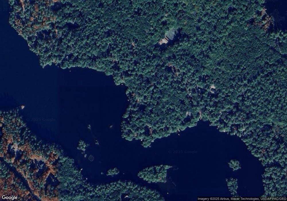
45 Sealand Dr West Newfield, ME 04095
Newfield NeighborhoodEstimated Value: $362,000
4
Beds
4
Baths
1,144
Sq Ft
$316/Sq Ft
Est. Value
About This Home
This home is located at 45 Sealand Dr, West Newfield, ME 04095 and is currently estimated at $362,000, approximately $316 per square foot. 45 Sealand Dr is a home with nearby schools including Massabesic High School.
Ownership History
Date
Name
Owned For
Owner Type
Purchase Details
Closed on
Nov 4, 2022
Sold by
Concannon T T and Concannon C
Bought by
Concannon Joseph M
Current Estimated Value
Home Financials for this Owner
Home Financials are based on the most recent Mortgage that was taken out on this home.
Original Mortgage
$206,250
Outstanding Balance
$199,122
Interest Rate
6.7%
Mortgage Type
Purchase Money Mortgage
Estimated Equity
$162,878
Create a Home Valuation Report for This Property
The Home Valuation Report is an in-depth analysis detailing your home's value as well as a comparison with similar homes in the area
Home Values in the Area
Average Home Value in this Area
Purchase History
| Date | Buyer | Sale Price | Title Company |
|---|---|---|---|
| Concannon Joseph M | -- | None Available | |
| Concannon Joseph M | -- | None Available | |
| Concannon Joseph M | -- | None Available |
Source: Public Records
Mortgage History
| Date | Status | Borrower | Loan Amount |
|---|---|---|---|
| Open | Concannon Joseph M | $206,250 | |
| Closed | Concannon Joseph M | $206,250 |
Source: Public Records
Tax History Compared to Growth
Tax History
| Year | Tax Paid | Tax Assessment Tax Assessment Total Assessment is a certain percentage of the fair market value that is determined by local assessors to be the total taxable value of land and additions on the property. | Land | Improvement |
|---|---|---|---|---|
| 2025 | $2,374 | $192,400 | $90,000 | $102,400 |
| 2024 | $2,270 | $192,400 | $90,000 | $102,400 |
| 2023 | $2,101 | $192,400 | $90,000 | $102,400 |
| 2022 | $1,878 | $192,400 | $90,000 | $102,400 |
| 2021 | $1,751 | $153,900 | $72,000 | $81,900 |
| 2020 | $1,751 | $153,900 | $72,000 | $81,900 |
| 2019 | $1,714 | $153,900 | $72,000 | $81,900 |
| 2018 | $1,684 | $153,900 | $72,000 | $81,900 |
| 2017 | $1,662 | $153,900 | $72,000 | $81,900 |
| 2016 | $25,613 | $153,900 | $72,000 | $81,900 |
| 2015 | $1,499 | $153,900 | $72,000 | $81,900 |
| 2014 | $1,105 | $118,800 | $57,600 | $61,200 |
| 2013 | $1,069 | $118,800 | $57,600 | $61,200 |
Source: Public Records
Map
Nearby Homes
- 57 Green Bay Rd
- 0 Island Dr
- 253 Asbury Ln
- 204 Acton Ridge Rd Unit 204
- 1618 Acton Ridge Rd
- 0 Whitehouse Rd
- Lot #021 Abbott Rd
- 284 Abbott Rd
- TBD Mann Rd
- 367 Shady Nook Rd
- Parcel #1 Sanborn Rd
- 322 Concord Ln
- 97 Daniel Dr
- 0 Monique Dr Unit 5047887
- 347 Anderson Cove Rd
- 112 Gile Rd
- 00 Libby Rd Unit Lot 9
- 51 Mill Pond Rd
- 29 Concord Ln
- 271 Red Gate Ln
- 38 Sealand Dr
- 36 Sealand Dr
- 0 In E H Davis
- 28 Sealand Dr
- 26 Sealand Dr
- 0 Kennetts Point Rd
- 117 Davis Dr
- 7 Sealand Dr
- 100 ''''''Out''''''
- 10 Sealand Dr
- 4 Sealand Rd
- 106 Out Rd
- 0 Kennett's Point Rd Unit 4650865
- 0 Kennett's Point Rd Unit 1320107
- 3 Green Bay Rd
- 101 Out Rd
- 117 E H Davis Dr
- 100 Out Rd
- 95 E H Davis Dr
- 95 Eh Davis Rd
