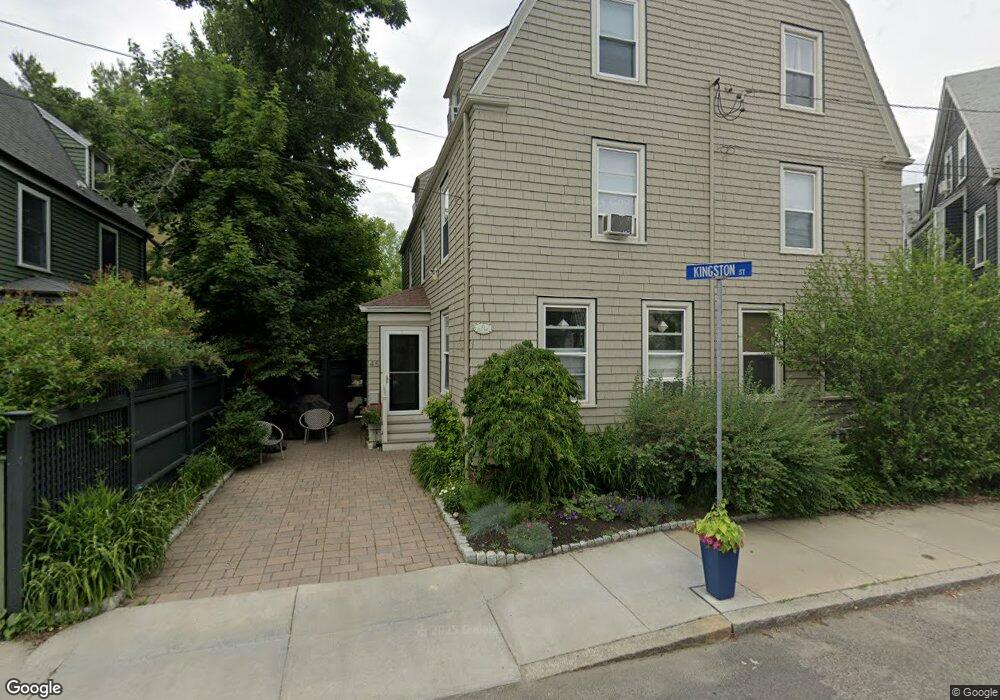
45 Shea Rd Unit 1 Cambridge, MA 02140
North Cambridge NeighborhoodEstimated Value: $953,516 - $1,474,000
4
Beds
3
Baths
2,177
Sq Ft
$529/Sq Ft
Est. Value
About This Home
This home is located at 45 Shea Rd Unit 1, Cambridge, MA 02140 and is currently estimated at $1,150,629, approximately $528 per square foot. 45 Shea Rd Unit 1 is a home located in Middlesex County with nearby schools including Somerville High School, Benjamin Banneker Charter Public School, and Cambridge Friends School.
Ownership History
Date
Name
Owned For
Owner Type
Purchase Details
Closed on
Mar 1, 2002
Sold by
Pivovarsky Alexander and Hobard Jessica
Bought by
Burke Charles G and Burke Kimberly N
Current Estimated Value
Home Financials for this Owner
Home Financials are based on the most recent Mortgage that was taken out on this home.
Original Mortgage
$440,800
Interest Rate
6.85%
Mortgage Type
Purchase Money Mortgage
Purchase Details
Closed on
Jun 12, 1998
Sold by
Lieberman Frances S
Bought by
Hobart Jessica and Pivovarsky Alexander
Create a Home Valuation Report for This Property
The Home Valuation Report is an in-depth analysis detailing your home's value as well as a comparison with similar homes in the area
Home Values in the Area
Average Home Value in this Area
Purchase History
| Date | Buyer | Sale Price | Title Company |
|---|---|---|---|
| Burke Charles G | $551,000 | -- | |
| Hobart Jessica | $375,000 | -- |
Source: Public Records
Mortgage History
| Date | Status | Borrower | Loan Amount |
|---|---|---|---|
| Open | Hobart Jessica | $391,000 | |
| Closed | Hobart Jessica | $400,000 | |
| Closed | Hobart Jessica | $440,800 |
Source: Public Records
Tax History
| Year | Tax Paid | Tax Assessment Tax Assessment Total Assessment is a certain percentage of the fair market value that is determined by local assessors to be the total taxable value of land and additions on the property. | Land | Improvement |
|---|---|---|---|---|
| 2025 | $1,528 | $240,600 | $0 | $240,600 |
| 2024 | $1,398 | $236,100 | $0 | $236,100 |
| 2023 | $1,280 | $218,500 | $0 | $218,500 |
| 2022 | $1,250 | $211,100 | $0 | $211,100 |
| 2021 | $1,169 | $199,900 | $0 | $199,900 |
| 2020 | $1,079 | $187,600 | $0 | $187,600 |
| 2019 | $1,042 | $175,500 | $0 | $175,500 |
| 2018 | $182 | $288,600 | $0 | $288,600 |
| 2017 | $1,789 | $275,600 | $0 | $275,600 |
| 2016 | $1,778 | $254,300 | $0 | $254,300 |
| 2015 | $1,765 | $225,700 | $0 | $225,700 |
| 2014 | $1,744 | $208,100 | $0 | $208,100 |
Source: Public Records
Map
Nearby Homes
- 11 Tannery Brook Row Unit 3
- 3 Tannery Brook Row Unit 11
- 2353 Massachusetts Ave Unit 44
- 2353 Massachusetts Ave Unit 93
- 7A Meacham Rd Unit 7A
- 34 Elmwood St Unit 2
- 2 Gold Star Ct
- 97 Elmwood St Unit 313
- 97 Elmwood St Unit 110
- 97 Elmwood St Unit 310
- 69 Harvey St Unit 1
- 9-11 Edmunds St
- 126 Harvey St Unit 2
- 127 Harvey St
- 38 Brookford St Unit 2
- 30 Clarendon Ave
- 108 Clay St
- 1004 Broadway Unit 3
- 3 Warwick Park Unit 2
- 43 Grove St
- 45 Shea Rd Unit 2
- 45 Shea Rd Unit 45
- 47 Kingston St Unit 2
- 47 Kingston St Unit 1
- 47 Kingston St Unit 47
- 40 Locke St
- 41 Shea Rd Unit 41
- 45 Kingston St
- 6 Campbell Park Place
- 42 Locke St
- 32 Locke St
- 44 Locke St
- 44 Locke St Unit 44 44
- 35 Shea Rd
- 46 Locke St Unit 2
- 48 Kingston St
- 44 Kingston St
- 43 Kingston St
- 41 Locke St
- 30 Locke St
Your Personal Tour Guide
Ask me questions while you tour the home.