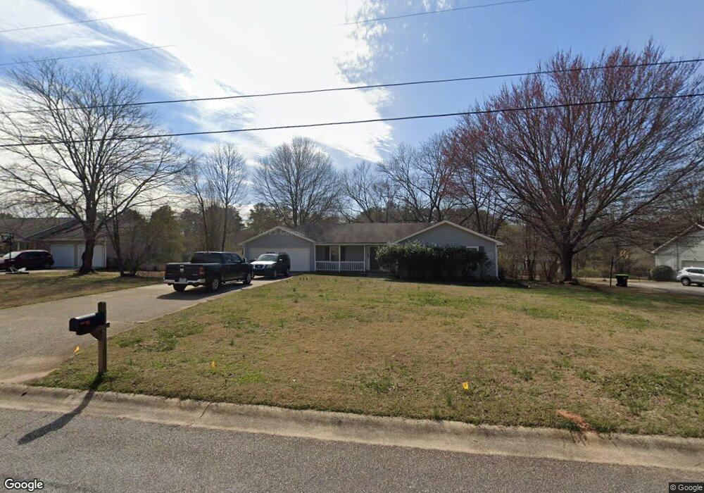
45 Summer Mist Ct Stockbridge, GA 30281
Estimated Value: $226,469 - $246,000
3
Beds
2
Baths
1,521
Sq Ft
$156/Sq Ft
Est. Value
About This Home
This home is located at 45 Summer Mist Ct, Stockbridge, GA 30281 and is currently estimated at $237,367, approximately $156 per square foot. 45 Summer Mist Ct is a home located in Henry County with nearby schools including Fairview Elementary School, Austin Road Middle School, and Stockbridge High School.
Ownership History
Date
Name
Owned For
Owner Type
Purchase Details
Closed on
Apr 19, 2019
Sold by
Trans Am Sfe Ii Llc
Bought by
Rh Partners Ownerco Llc
Current Estimated Value
Purchase Details
Closed on
Sep 4, 2018
Sold by
Adams Dale A
Bought by
Trans Am Sfe Ii Llc
Purchase Details
Closed on
Jun 29, 2001
Sold by
Kearns Thomas F
Bought by
Adams Dale A
Home Financials for this Owner
Home Financials are based on the most recent Mortgage that was taken out on this home.
Original Mortgage
$123,100
Interest Rate
7.16%
Mortgage Type
FHA
Create a Home Valuation Report for This Property
The Home Valuation Report is an in-depth analysis detailing your home's value as well as a comparison with similar homes in the area
Home Values in the Area
Average Home Value in this Area
Purchase History
We collect this data history from publicly available records. To have your information removed, we recommend requesting removal directly through your county’s website.
| Date | Buyer | Sale Price | Title Company |
|---|---|---|---|
| Rh Partners Ownerco Llc | $828,771 | -- | |
| Trans Am Sfe Ii Llc | $93,650 | -- | |
| Adams Dale A | $124,100 | -- |
Source: Public Records
Mortgage History
We collect this data history from publicly available records. To have your information removed, we recommend requesting removal directly through your county’s website.
| Date | Status | Borrower | Loan Amount |
|---|---|---|---|
| Previous Owner | Adams Dale A | $123,100 |
Source: Public Records
Tax History
| Year | Tax Paid | Tax Assessment Tax Assessment Total Assessment is a certain percentage of the fair market value that is determined by local assessors to be the total taxable value of land and additions on the property. | Land | Improvement |
|---|---|---|---|---|
| 2025 | $3,590 | $89,800 | $13,272 | $76,528 |
| 2024 | $3,590 | $89,800 | $14,000 | $75,800 |
| 2023 | $3,319 | $85,480 | $10,000 | $75,480 |
| 2022 | $2,925 | $75,200 | $10,000 | $65,200 |
| 2021 | $2,358 | $60,440 | $10,000 | $50,440 |
| 2020 | $2,005 | $51,240 | $6,000 | $45,240 |
| 2019 | $1,477 | $37,460 | $4,870 | $32,590 |
| 2018 | $1,657 | $42,160 | $6,000 | $36,160 |
| 2016 | $1,432 | $36,280 | $6,000 | $30,280 |
| 2015 | $1,267 | $31,040 | $6,000 | $25,040 |
| 2014 | $997 | $23,920 | $4,800 | $19,120 |
Source: Public Records
Map
Nearby Homes
- 2132 E Atlanta Rd
- 5022 Rex Rd
- 51 AC Rex Rd
- 241 Glenloch Ct
- 113 Ethel Ln
- 176 Stokes Dr
- 151 Glenloch Pkwy Unit 2
- 113 Black Oak Ct
- 130 Stokes Dr
- 1796 E Atlanta Rd
- 4619 Rex Rd
- 4609 Rex Rd
- 1773 E Atlanta Rd
- 175 Northtowne Cove
- 491 Thurman Rd Unit TRACT C
- 51 Ac Rex Rd
- 4531 Adams Ct
- 7001 Coatsworth Dr Unit LOT 1
- 128 Northtowne Cove
- 0 Wilkerson Rd
- 43 Summer Mist Ct Unit 5
- 47 Summer Mist Ct
- 34 White Breeze Ct Unit 26
- 34 White Breeze Ct
- 32 White Breeze Ct
- 32 White Breeze Ct Unit 5
- 36 White Breeze Ct
- 41 Summer Mist Ct
- 44 Summer Mist Ct
- 42 Summer Mist Ct
- 49 Summer Mist Ct Unit I
- 46 Summer Mist Ct
- 30 White Breeze Ct
- 624 Cloudland Dr
- 38 White Breeze Ct
- 48 Summer Mist Ct
- 50 Summer Mist Ct
- 50 Summer Mist Ct Unit 18
- 622 Cloudland Dr Unit 4
- 33 White Breeze Ct Unit 5
Your Personal Tour Guide
Ask me questions while you tour the home.