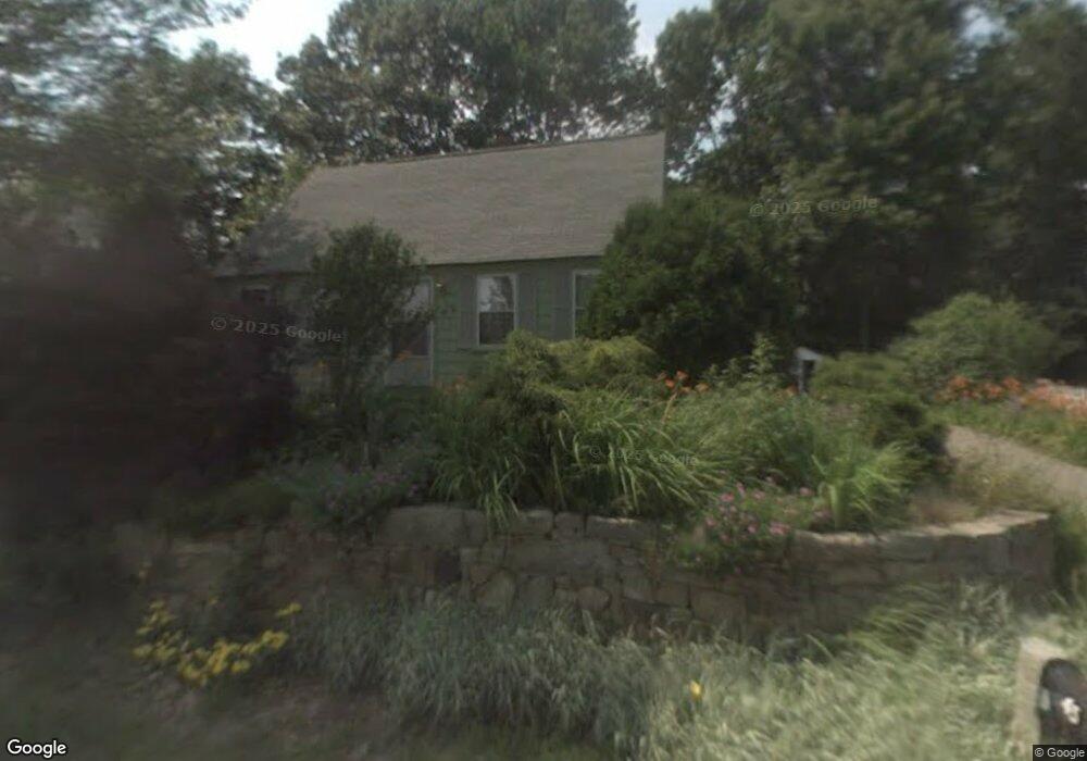
45 Tilton Ave Kittery, ME 03904
Estimated Value: $522,000 - $607,000
3
Beds
1
Bath
1,576
Sq Ft
$357/Sq Ft
Est. Value
About This Home
This home is located at 45 Tilton Ave, Kittery, ME 03904 and is currently estimated at $563,024, approximately $357 per square foot. 45 Tilton Ave is a home with nearby schools including Horace Mitchell Primary School, Shapleigh School, and Robert W Traip Academy.
Ownership History
Date
Name
Owned For
Owner Type
Purchase Details
Closed on
Mar 1, 2007
Sold by
Lawrence Timothy E
Bought by
Wilson Grant M and Oneill Sheila J
Current Estimated Value
Home Financials for this Owner
Home Financials are based on the most recent Mortgage that was taken out on this home.
Original Mortgage
$253,993
Outstanding Balance
$153,822
Interest Rate
6.27%
Mortgage Type
FHA
Estimated Equity
$409,202
Purchase Details
Closed on
Mar 31, 2005
Sold by
Lawrence Vicki S and Lawrence Timothy E
Bought by
Lawrence Timothy E
Create a Home Valuation Report for This Property
The Home Valuation Report is an in-depth analysis detailing your home's value as well as a comparison with similar homes in the area
Home Values in the Area
Average Home Value in this Area
Purchase History
| Date | Buyer | Sale Price | Title Company |
|---|---|---|---|
| Wilson Grant M | -- | -- | |
| Lawrence Timothy E | -- | -- |
Source: Public Records
Mortgage History
| Date | Status | Borrower | Loan Amount |
|---|---|---|---|
| Open | Wilson Grant M | $253,993 |
Source: Public Records
Tax History Compared to Growth
Tax History
| Year | Tax Paid | Tax Assessment Tax Assessment Total Assessment is a certain percentage of the fair market value that is determined by local assessors to be the total taxable value of land and additions on the property. | Land | Improvement |
|---|---|---|---|---|
| 2024 | $4,810 | $338,700 | $175,500 | $163,200 |
| 2023 | $4,610 | $338,700 | $175,500 | $163,200 |
| 2022 | $4,566 | $338,700 | $175,500 | $163,200 |
| 2021 | $4,403 | $338,700 | $175,500 | $163,200 |
| 2020 | $4,369 | $338,700 | $175,500 | $163,200 |
| 2019 | $3,398 | $195,300 | $57,200 | $138,100 |
| 2018 | $3,281 | $195,300 | $57,200 | $138,100 |
| 2017 | $3,194 | $193,600 | $57,200 | $136,400 |
| 2016 | $3,107 | $193,600 | $57,200 | $136,400 |
| 2015 | $3,034 | $193,600 | $57,200 | $136,400 |
| 2014 | $3,005 | $193,600 | $57,200 | $136,400 |
| 2013 | $2,947 | $193,600 | $57,200 | $136,400 |
Source: Public Records
Map
Nearby Homes
- 12 Gillis Dr Unit 3
- 116 Whipple Rd
- 205 Whipple Rd
- 10-12 Pine St
- 165 Rogers Rd
- 8 Spruce Point Rd
- 100 Shepards Cove Rd Unit F204
- 100 Shepards Cove Rd Unit G204
- 17 Elm Ct
- 8 Water St Unit 2
- 8 Water St Unit 1
- 72 Pepperrell Rd
- 15 Atkinson St
- 14 Colonial Ln
- 197 State Rd
- 20 Mendum Ave
- 35 Badgers Island W Unit 203
- 35 Badgers Island W Unit 301
- 35 Badgers Island W Unit 204
- 35 Badgers Island W Unit 103