45 Tyler Rd Albion, ME 04910
Estimated Value: $150,000 - $247,000
3
Beds
1
Bath
1,380
Sq Ft
$152/Sq Ft
Est. Value
About This Home
This home is located at 45 Tyler Rd, Albion, ME 04910 and is currently estimated at $209,403, approximately $151 per square foot. 45 Tyler Rd is a home located in Kennebec County with nearby schools including Lawrence High School.
Ownership History
Date
Name
Owned For
Owner Type
Purchase Details
Closed on
Jun 7, 2018
Sold by
Dart Robyn R
Bought by
Mayo Linda
Current Estimated Value
Purchase Details
Closed on
Jan 25, 2005
Sold by
Oleary Michael
Bought by
Dart Robyn R
Home Financials for this Owner
Home Financials are based on the most recent Mortgage that was taken out on this home.
Original Mortgage
$99,000
Interest Rate
5.71%
Mortgage Type
Commercial
Create a Home Valuation Report for This Property
The Home Valuation Report is an in-depth analysis detailing your home's value as well as a comparison with similar homes in the area
Home Values in the Area
Average Home Value in this Area
Purchase History
| Date | Buyer | Sale Price | Title Company |
|---|---|---|---|
| Mayo Linda | -- | -- | |
| Dart Robyn R | -- | -- |
Source: Public Records
Mortgage History
| Date | Status | Borrower | Loan Amount |
|---|---|---|---|
| Previous Owner | Dart Robyn R | $99,000 |
Source: Public Records
Tax History
| Year | Tax Paid | Tax Assessment Tax Assessment Total Assessment is a certain percentage of the fair market value that is determined by local assessors to be the total taxable value of land and additions on the property. | Land | Improvement |
|---|---|---|---|---|
| 2025 | $2,322 | $130,100 | $22,900 | $107,200 |
| 2024 | $2,036 | $130,100 | $22,900 | $107,200 |
| 2023 | $1,854 | $130,100 | $22,900 | $107,200 |
| 2022 | $1,622 | $97,700 | $17,500 | $80,200 |
| 2021 | $1,720 | $97,700 | $17,500 | $80,200 |
| 2020 | $1,715 | $97,700 | $17,500 | $80,200 |
| 2019 | $1,627 | $97,700 | $17,500 | $80,200 |
| 2018 | $1,593 | $97,700 | $17,500 | $80,200 |
| 2017 | $1,563 | $97,700 | $17,500 | $80,200 |
| 2016 | $1,539 | $97,700 | $17,500 | $80,200 |
| 2015 | $1,514 | $97,700 | $17,500 | $80,200 |
| 2014 | $1,466 | $97,700 | $17,500 | $80,200 |
| 2013 | $1,417 | $97,700 | $17,500 | $80,200 |
Source: Public Records
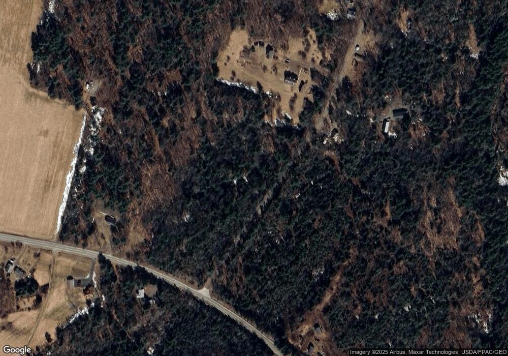
Map
Nearby Homes
- 12 Country View Ln
- 163 Ayer Ridge Rd
- 67 Belfast Rd
- Lot 10 Maine 137
- Lot 3-1 Bryant Rd
- 17 Main St
- 141 Albion Rd
- 137 China Rd
- Lot 10 Albion Rd
- 149 Carey Ln
- M5 L27-3 Marks Rd
- 19-04 Acorn Ln
- 39 High St
- 45 Marden Shore Rd
- 118 Marden Shore Rd
- 88 Drake Hill Rd
- Lot #58 S Vigue Shore Rd
- 126 Newell Ct
- 391 School St
- 473 Mount View Rd
Your Personal Tour Guide
Ask me questions while you tour the home.