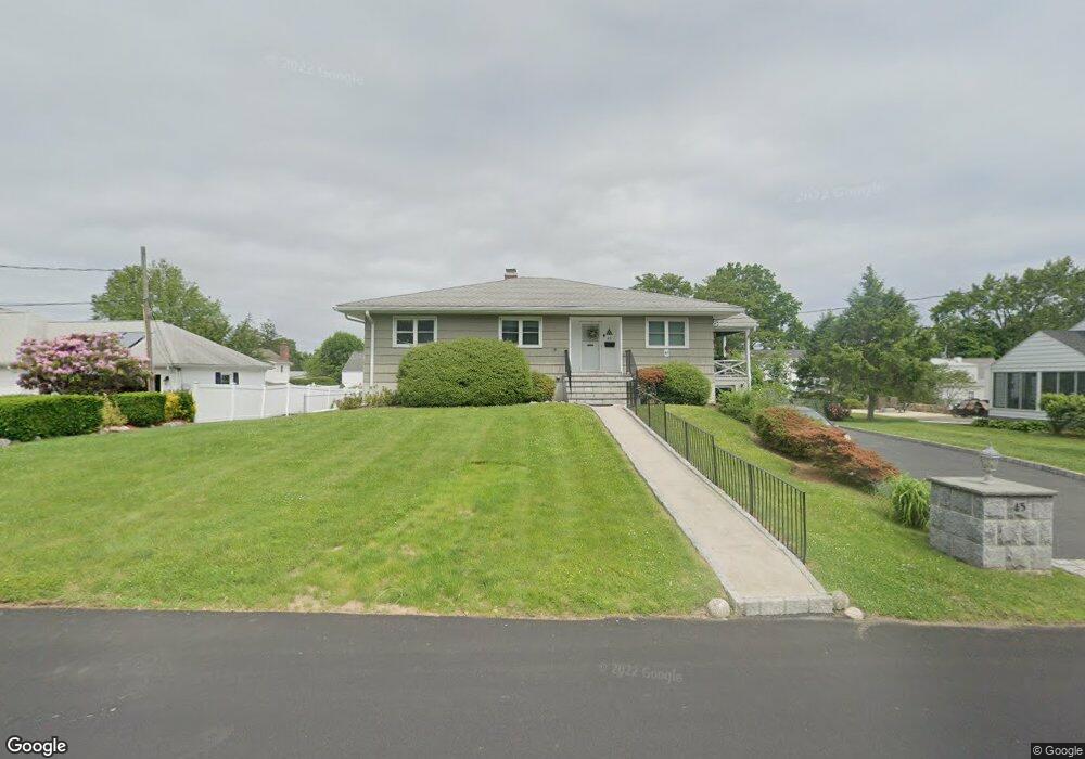
45 Upland St Port Chester, NY 10573
Estimated Value: $780,195 - $911,000
3
Beds
3
Baths
1,410
Sq Ft
$587/Sq Ft
Est. Value
About This Home
This home is located at 45 Upland St, Port Chester, NY 10573 and is currently estimated at $827,549, approximately $586 per square foot. 45 Upland St is a home located in Westchester County with nearby schools including Port Chester Middle School, Port Chester Senior High School, and Corpus Christi Holy Rosary School.
Ownership History
Date
Name
Owned For
Owner Type
Purchase Details
Closed on
Jul 23, 2010
Sold by
Lombardo Rose M
Bought by
Lombardo Rose and Raffa Donald F
Current Estimated Value
Purchase Details
Closed on
Aug 25, 2004
Sold by
Lombardo Rose M
Bought by
Lombardo Rose M and Raffa Bernadette
Create a Home Valuation Report for This Property
The Home Valuation Report is an in-depth analysis detailing your home's value as well as a comparison with similar homes in the area
Home Values in the Area
Average Home Value in this Area
Purchase History
| Date | Buyer | Sale Price | Title Company |
|---|---|---|---|
| Lombardo Rose | -- | None Available | |
| Lombardo Rose M | -- | -- |
Source: Public Records
Tax History Compared to Growth
Tax History
| Year | Tax Paid | Tax Assessment Tax Assessment Total Assessment is a certain percentage of the fair market value that is determined by local assessors to be the total taxable value of land and additions on the property. | Land | Improvement |
|---|---|---|---|---|
| 2024 | $13,848 | $646,500 | $289,300 | $357,200 |
| 2023 | $13,149 | $621,600 | $275,500 | $346,100 |
| 2022 | $12,135 | $592,000 | $275,500 | $316,500 |
| 2021 | $13,004 | $538,200 | $275,500 | $262,700 |
| 2020 | $11,663 | $538,200 | $275,500 | $262,700 |
| 2019 | $13,591 | $445,100 | $237,200 | $207,900 |
| 2018 | $8,377 | $438,000 | $232,200 | $205,800 |
| 2017 | $1,885 | $439,300 | $229,500 | $209,800 |
| 2016 | $10,650 | $428,200 | $228,100 | $200,100 |
| 2015 | -- | $432,900 | $232,800 | $200,100 |
| 2014 | -- | $430,100 | $211,200 | $218,900 |
| 2013 | -- | $423,600 | $204,700 | $218,900 |
Source: Public Records
Map
Nearby Homes
- 28 1/2 Pilgrim Dr
- 118 Greenwich Hills Dr
- 565 King St
- 561 King St
- 79 Robert Ave
- 82 Shelley Ave
- 17 Austin Place
- 33 Hillandale Rd
- 20 Woodland Dr
- 106 Puritan Dr
- 23 W Glen Ave
- 402 W Lyon Farm Dr
- 107 Pemberwick Rd
- 263 N Regent St
- 23 Sylvan Rd
- 484 King St
- 256 N Regent St
- 3 Green Ln
- 247 N Regent St
- 70 Davenport Ave
- 41 Upland St
- 47 Upland St
- 18 Mitchell Place
- 31 Upland St
- 33 Upland St
- 16 Mitchell Place
- 20 Mitchell Place
- 32 Upland St
- 28 Mitchell Place
- 30 Mitchell Place
- 14 Mitchell Place
- 22 Mitchell Place
- 37 Upland St
- 49 Upland St
- 46 Upland St
- 42 Upland St
- 50 Upland St
- 29 Mitchell Place
- 27 Mitchell Place
- 12 Mitchell Place