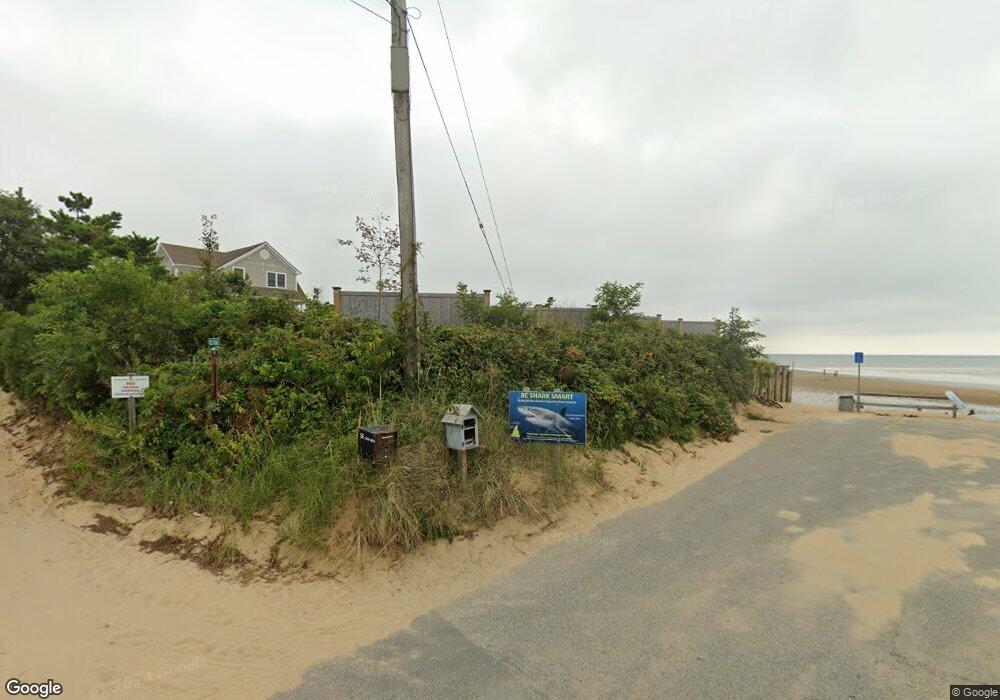
45 West Rd Eastham, MA 02642
Estimated Value: $510,000 - $2,398,188
3
Beds
1
Bath
1,001
Sq Ft
$1,681/Sq Ft
Est. Value
About This Home
This home is located at 45 West Rd, Eastham, MA 02642 and is currently estimated at $1,682,797, approximately $1,681 per square foot. 45 West Rd is a home located in Barnstable County with nearby schools including Eastham Elementary School, Nauset Regional Middle School, and Nauset Regional High School.
Ownership History
Date
Name
Owned For
Owner Type
Purchase Details
Closed on
Jun 27, 2025
Sold by
Thaler Erica R and Thaler Warren S
Bought by
Warren S Thaler Master T and Thaler
Current Estimated Value
Purchase Details
Closed on
Dec 3, 2021
Sold by
Newlove Lynn I
Bought by
Thaler Warren S and Thaler Erica R
Purchase Details
Closed on
Jan 15, 2008
Sold by
Clionsky Mitchell I
Bought by
Newlove Lynn I
Purchase Details
Closed on
Feb 4, 1994
Sold by
Occhipinti Vincenzo J
Bought by
Clionsky Mitchell I and Newlove Lynn I
Create a Home Valuation Report for This Property
The Home Valuation Report is an in-depth analysis detailing your home's value as well as a comparison with similar homes in the area
Home Values in the Area
Average Home Value in this Area
Purchase History
| Date | Buyer | Sale Price | Title Company |
|---|---|---|---|
| Warren S Thaler Master T | -- | -- | |
| Warren S Thaler Master T | -- | -- | |
| Thaler Warren S | $1,900,000 | None Available | |
| Thaler Warren S | $1,900,000 | None Available | |
| Newlove Lynn I | -- | -- | |
| Newlove Lynn I | -- | -- | |
| Clionsky Mitchell I | $212,000 | -- | |
| Clionsky Mitchell I | $212,000 | -- |
Source: Public Records
Mortgage History
| Date | Status | Borrower | Loan Amount |
|---|---|---|---|
| Previous Owner | Clionsky Mitchell I | $135,000 | |
| Previous Owner | Clionsky Mitchell I | $200,000 |
Source: Public Records
Tax History Compared to Growth
Tax History
| Year | Tax Paid | Tax Assessment Tax Assessment Total Assessment is a certain percentage of the fair market value that is determined by local assessors to be the total taxable value of land and additions on the property. | Land | Improvement |
|---|---|---|---|---|
| 2025 | $10,765 | $1,396,300 | $1,396,300 | $0 |
| 2024 | $9,503 | $1,355,600 | $1,355,600 | $0 |
| 2023 | $12,215 | $1,687,100 | $1,255,300 | $431,800 |
| 2022 | $11,833 | $1,379,100 | $1,072,000 | $307,100 |
| 2021 | $11,912 | $1,297,600 | $1,018,700 | $278,900 |
| 2020 | $11,340 | $1,300,500 | $1,039,700 | $260,800 |
| 2019 | $10,056 | $1,218,900 | $965,600 | $253,300 |
| 2018 | $9,597 | $1,149,400 | $903,400 | $246,000 |
| 2017 | $8,902 | $1,126,800 | $885,600 | $241,200 |
| 2016 | $8,145 | $1,094,700 | $868,900 | $225,800 |
| 2015 | $7,606 | $1,071,200 | $851,900 | $219,300 |
Source: Public Records
Map
Nearby Homes