45 Yukon Trail Moultonborough, NH 03254
Estimated Value: $715,574 - $1,019,000
3
Beds
3
Baths
3,260
Sq Ft
$250/Sq Ft
Est. Value
About This Home
This home is located at 45 Yukon Trail, Moultonborough, NH 03254 and is currently estimated at $813,644, approximately $249 per square foot. 45 Yukon Trail is a home with nearby schools including Moultonborough Central School and Moultonborough Academy High School.
Ownership History
Date
Name
Owned For
Owner Type
Purchase Details
Closed on
Dec 31, 2014
Sold by
Quinn Lucas M
Bought by
Quinn Michael J
Current Estimated Value
Purchase Details
Closed on
Oct 7, 2005
Sold by
Beckwith Douglas S and Beckwith Katleeen
Bought by
Terry A Martel T
Create a Home Valuation Report for This Property
The Home Valuation Report is an in-depth analysis detailing your home's value as well as a comparison with similar homes in the area
Home Values in the Area
Average Home Value in this Area
Purchase History
| Date | Buyer | Sale Price | Title Company |
|---|---|---|---|
| Quinn Michael J | $261,400 | -- | |
| Terry A Martel T | $33,000 | -- |
Source: Public Records
Mortgage History
| Date | Status | Borrower | Loan Amount |
|---|---|---|---|
| Previous Owner | Terry A Martel T | $204,800 | |
| Previous Owner | Terry A Martel T | $204,800 |
Source: Public Records
Tax History Compared to Growth
Tax History
| Year | Tax Paid | Tax Assessment Tax Assessment Total Assessment is a certain percentage of the fair market value that is determined by local assessors to be the total taxable value of land and additions on the property. | Land | Improvement |
|---|---|---|---|---|
| 2024 | $3,164 | $560,000 | $168,300 | $391,700 |
| 2023 | $2,882 | $505,700 | $122,900 | $382,800 |
| 2022 | $2,153 | $450,400 | $110,700 | $339,700 |
| 2021 | $2,718 | $389,400 | $93,000 | $296,400 |
| 2020 | $2,601 | $364,800 | $93,000 | $271,800 |
| 2019 | $2,376 | $332,300 | $64,600 | $267,700 |
| 2018 | $2,488 | $322,300 | $60,000 | $262,300 |
| 2017 | $2,448 | $297,800 | $60,000 | $237,800 |
| 2016 | $2,556 | $292,400 | $60,000 | $232,400 |
| 2015 | $2,460 | $273,000 | $60,000 | $213,000 |
| 2014 | $2,266 | $255,800 | $60,000 | $195,800 |
| 2013 | $2,240 | $257,800 | $60,000 | $197,800 |
Source: Public Records
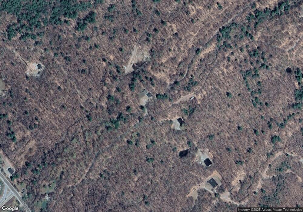
Map
Nearby Homes
- 42 Farm Rd
- 538 Governor Wentworth Hwy
- 27 Meadow Glen Dr
- 66 Hayes Ln
- 0 States Landing Rd Unit 5036165
- 37 Mayflower Ln
- 120 Locarno St
- 24 Sunrise Dr
- 122-1 Gwh Hwy
- 31 Suissevale Ave
- 284 Ossipee Mountain Rd
- 7 Eden Ln
- 107 Governor Wentworth Hwy
- 11 Harriet Ln
- 122-001-002 Governor Wentworth Hwy
- 17 Whitehouse Farm Ln
- 00 Sundorf St Unit 117
- 0 Sundorf St Unit 901 5009559
- 72 Sundorf St
- 88 Suissevale Ave
- 203 Yukon Trail
- 40-42 Yukon Trail
- 204 Yukon Trail
- 0 Yukon Trail
- 0AA Yukon Trail
- 66 Emerson Path
- 391 Governor Wentworth Hwy
- 0 Governor Wentworth Hwy Unit 4892649
- 0 Governor Wentworth Hwy
- 391 Gov Wentworth Hwy
- 381 Governor Wentworth Hwy
- 369 Gov Wentworth Hwy
- 369 Governor Wentworth Hwy
- 419 Governor Wentworth Hwy
- 44 Farm Rd
- 402 Governor Wentworth Hwy
- 362 Governor Wentworth Hwy
- 442 Governor Wentworth Hwy
- 420 Governor Wentworth Hwy
- 354 Governor Wentworth Hwy