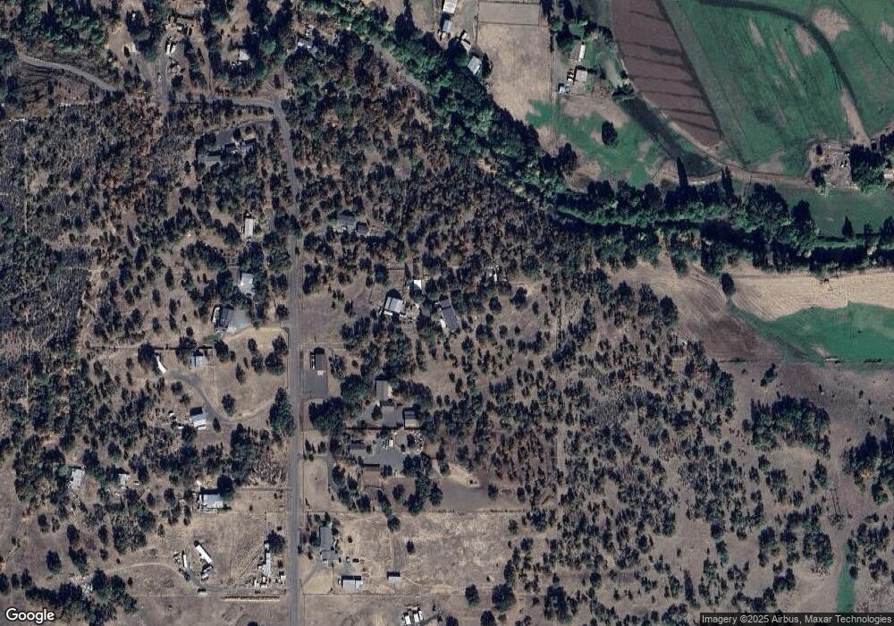
450 Ayres Rd Eagle Point, OR 97524
Estimated Value: $421,000 - $474,465
3
Beds
2
Baths
1,441
Sq Ft
$305/Sq Ft
Est. Value
About This Home
This home is located at 450 Ayres Rd, Eagle Point, OR 97524 and is currently estimated at $439,488, approximately $304 per square foot. 450 Ayres Rd is a home located in Jackson County with nearby schools including Eagle Point Middle School, White Mountain Middle School, and Eagle Point High School.
Ownership History
Date
Name
Owned For
Owner Type
Purchase Details
Closed on
Jun 18, 2025
Sold by
Grogan Timothy A
Bought by
Herrin Tracy and Herrin Tammy
Current Estimated Value
Home Financials for this Owner
Home Financials are based on the most recent Mortgage that was taken out on this home.
Original Mortgage
$280,000
Outstanding Balance
$278,536
Interest Rate
6.76%
Mortgage Type
New Conventional
Estimated Equity
$160,952
Purchase Details
Closed on
Jun 26, 2019
Sold by
Grogan Tamara L
Bought by
Grogan Timothy A
Purchase Details
Closed on
Jun 9, 2008
Sold by
Lasalle Bank Na
Bought by
Grogan Timothy A and Grogan Tamara L
Home Financials for this Owner
Home Financials are based on the most recent Mortgage that was taken out on this home.
Original Mortgage
$218,000
Interest Rate
6.07%
Mortgage Type
Unknown
Purchase Details
Closed on
Oct 11, 2007
Sold by
Howard William G
Bought by
Lasalle Bank Na and Certificateholders Of Bear Sterns Asset
Purchase Details
Closed on
May 18, 2005
Sold by
Howard William G and Bullock Roxanne
Bought by
Howard William G
Home Financials for this Owner
Home Financials are based on the most recent Mortgage that was taken out on this home.
Original Mortgage
$240,000
Interest Rate
1%
Mortgage Type
New Conventional
Purchase Details
Closed on
Sep 22, 2004
Sold by
Howard William G
Bought by
Howard William G and Bullock Roxanne
Home Financials for this Owner
Home Financials are based on the most recent Mortgage that was taken out on this home.
Original Mortgage
$216,000
Interest Rate
5.76%
Mortgage Type
New Conventional
Purchase Details
Closed on
Oct 24, 2003
Sold by
Adams Robert B
Bought by
Howard William G
Home Financials for this Owner
Home Financials are based on the most recent Mortgage that was taken out on this home.
Original Mortgage
$120,000
Interest Rate
5.62%
Mortgage Type
Unknown
Purchase Details
Closed on
Dec 27, 1999
Sold by
Hinesly Terry D and Hinesly Carolyn A
Bought by
Adams Robert B
Home Financials for this Owner
Home Financials are based on the most recent Mortgage that was taken out on this home.
Original Mortgage
$140,850
Interest Rate
7.68%
Create a Home Valuation Report for This Property
The Home Valuation Report is an in-depth analysis detailing your home's value as well as a comparison with similar homes in the area
Purchase History
| Date | Buyer | Sale Price | Title Company |
|---|---|---|---|
| Herrin Tracy | $350,000 | Ticor Title | |
| Grogan Timothy A | -- | None Available | |
| Grogan Timothy A | $228,150 | First American Title Ins | |
| Lasalle Bank Na | $284,750 | None Available | |
| Howard William G | -- | Chicago Title Co | |
| Howard William G | -- | Chicago Title Co | |
| Howard William G | $220,000 | Lawyers Title Insurance Corp | |
| Adams Robert B | $156,500 | Amerititle |
Source: Public Records
Mortgage History
| Date | Status | Borrower | Loan Amount |
|---|---|---|---|
| Open | Herrin Tracy | $280,000 | |
| Previous Owner | Grogan Timothy A | $218,000 | |
| Previous Owner | Howard William G | $240,000 | |
| Previous Owner | Howard William G | $216,000 | |
| Previous Owner | Howard William G | $120,000 | |
| Previous Owner | Adams Robert B | $140,850 | |
| Closed | Howard William G | $30,000 |
Source: Public Records
Tax History
| Year | Tax Paid | Tax Assessment Tax Assessment Total Assessment is a certain percentage of the fair market value that is determined by local assessors to be the total taxable value of land and additions on the property. | Land | Improvement |
|---|---|---|---|---|
| 2026 | $2,639 | $228,620 | -- | -- |
| 2025 | $2,571 | $221,970 | $104,550 | $117,420 |
| 2024 | $2,571 | $215,510 | $61,480 | $154,030 |
| 2023 | $2,485 | $209,240 | $59,690 | $149,550 |
| 2022 | $2,419 | $209,240 | $59,690 | $149,550 |
| 2021 | $2,349 | $203,150 | $57,960 | $145,190 |
| 2020 | $2,536 | $197,240 | $56,280 | $140,960 |
| 2019 | $2,505 | $185,930 | $53,070 | $132,860 |
| 2018 | $2,448 | $180,520 | $51,530 | $128,990 |
| 2017 | $2,390 | $180,520 | $51,530 | $128,990 |
| 2016 | $2,329 | $170,170 | $48,590 | $121,580 |
| 2015 | $2,250 | $170,170 | $48,590 | $121,580 |
| 2014 | $2,186 | $160,410 | $45,800 | $114,610 |
Source: Public Records
Map
Nearby Homes
- 1918 Stevens Rd
- 0 Riley Rd Unit 220209029
- 1151 Arrowhead Trail
- 1297 Stonegate Dr Unit 473
- 218 Cambridge Terrace
- 1153 Pumpkin Unit 322
- 277 Cambridge Terrace
- 388 Crystal Dr
- 1319 Crestmont Place
- 417 Crystal Dr
- 1159 Pumpkin Ridge Unit 323
- 1147 Pumpkin Unit 321
- 1152 Pumpkin Unit 334
- 633 E Archwood Dr Unit 46
- 633 E Archwood Dr Unit 89
- 633 E Archwood Dr Unit 60
- 633 E Archwood Dr Unit 44
- 633 E Archwood Dr Unit 131
- 633 E Archwood Dr Unit 12
- 633 E Archwood Dr Unit 70
Your Personal Tour Guide
Ask me questions while you tour the home.
