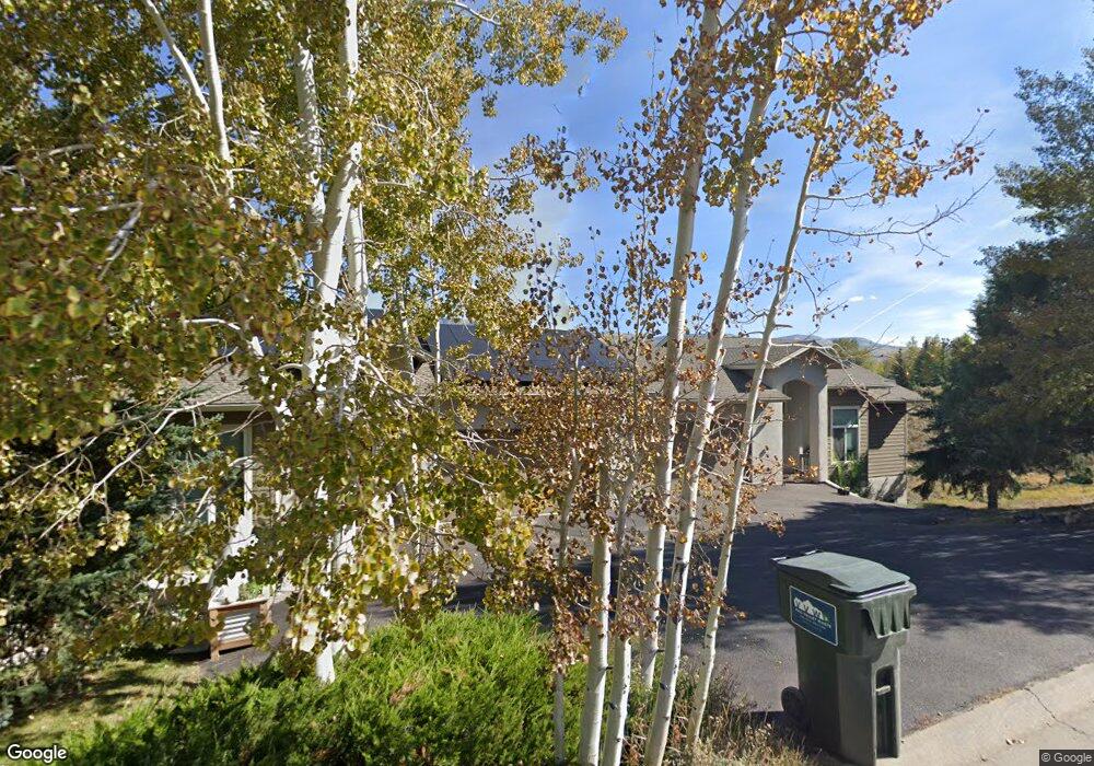
450 Gold Dust Dr Unit B Edwards, CO 81632
Estimated Value: $1,611,000 - $2,017,000
3
Beds
4
Baths
2,484
Sq Ft
$699/Sq Ft
Est. Value
About This Home
This home is located at 450 Gold Dust Dr Unit B, Edwards, CO 81632 and is currently estimated at $1,737,265, approximately $699 per square foot. 450 Gold Dust Dr Unit B is a home located in Eagle County with nearby schools including Berry Creek Middle School and Battle Mountain High School.
Ownership History
Date
Name
Owned For
Owner Type
Purchase Details
Closed on
Oct 24, 2017
Sold by
Brndiar John T and Chavez Beverly J
Bought by
Smith David Grant and Smith Katherine Anne
Current Estimated Value
Home Financials for this Owner
Home Financials are based on the most recent Mortgage that was taken out on this home.
Original Mortgage
$465,000
Outstanding Balance
$381,505
Interest Rate
3.62%
Mortgage Type
Adjustable Rate Mortgage/ARM
Estimated Equity
$1,355,760
Purchase Details
Closed on
Nov 26, 1997
Sold by
Mountain Vista Development Inc
Bought by
Bradiar John T and Chavez Beverly J
Home Financials for this Owner
Home Financials are based on the most recent Mortgage that was taken out on this home.
Original Mortgage
$221,600
Interest Rate
7.31%
Create a Home Valuation Report for This Property
The Home Valuation Report is an in-depth analysis detailing your home's value as well as a comparison with similar homes in the area
Home Values in the Area
Average Home Value in this Area
Purchase History
| Date | Buyer | Sale Price | Title Company |
|---|---|---|---|
| Smith David Grant | $726,000 | Title Co Of The Rockies | |
| Bradiar John T | $280,000 | First American Heritage Titl |
Source: Public Records
Mortgage History
| Date | Status | Borrower | Loan Amount |
|---|---|---|---|
| Open | Smith David Grant | $465,000 | |
| Previous Owner | Bradiar John T | $221,600 |
Source: Public Records
Tax History
| Year | Tax Paid | Tax Assessment Tax Assessment Total Assessment is a certain percentage of the fair market value that is determined by local assessors to be the total taxable value of land and additions on the property. | Land | Improvement |
|---|---|---|---|---|
| 2025 | $4,930 | $93,880 | $12,890 | $80,990 |
| 2024 | $4,802 | $92,440 | $14,500 | $77,940 |
| 2023 | $4,802 | $92,440 | $14,500 | $77,940 |
| 2022 | $3,005 | $50,190 | $13,900 | $36,290 |
| 2021 | $3,046 | $51,630 | $14,300 | $37,330 |
| 2020 | $2,887 | $49,150 | $11,440 | $37,710 |
| 2019 | $2,871 | $49,150 | $11,440 | $37,710 |
| 2018 | $2,917 | $48,800 | $9,290 | $39,510 |
| 2017 | $2,461 | $48,800 | $9,290 | $39,510 |
| 2016 | $2,069 | $42,800 | $9,750 | $33,050 |
| 2015 | -- | $42,800 | $9,750 | $33,050 |
| 2014 | -- | $34,130 | $6,890 | $27,240 |
Source: Public Records
Map
Nearby Homes
- 150 Hummingbird Trail
- 80 Russell Trail
- 161 Remington Trail
- 40 River Pines Ct Unit B 107
- 40 River Pines Ct Unit 102
- 190 Remington Trail
- 236 Remington Trail
- 275 Main St Unit O-211
- 216 Main St Unit R-319
- 216 Main St Unit R311
- 216 Main St Unit R-313
- 216 Main St Unit R316
- 225 Main St Unit R304
- 34323 Highway 6 Unit R-201
- 34295 U S 6 Unit 201
- 83 Arlington Place Unit A2
- 34999 U S 6 Unit C 103
- 91 Creamery Trail
- 35021 U S 6
- 1000 Homestead Dr Unit 5
- 450 Gold Dust Dr
- 450 Gold Dust Dr Unit A
- 450 Gold Dust Drive B Dr
- 422 Gold Dust Dr
- 422 Gold Dust Dr Unit W
- 400 Gold Dust Dr
- 961 Gold Dust Dr
- 943 Gold Dust Dr
- 400 Lariat Loop
- 398 Gold Dust Dr
- 979 Gold Dust Dr
- 51 Hummingbird Unit A
- 51 Hummingbird
- 51 Hummingbird Unit B
- 541 Gold Dust Dr
- 333 Lariat Loop
- 999 Gold Dust Dr
- 423 Lariat Loop
- 1017 Gold Dust Dr
- 11 Remington Rd
Your Personal Tour Guide
Ask me questions while you tour the home.