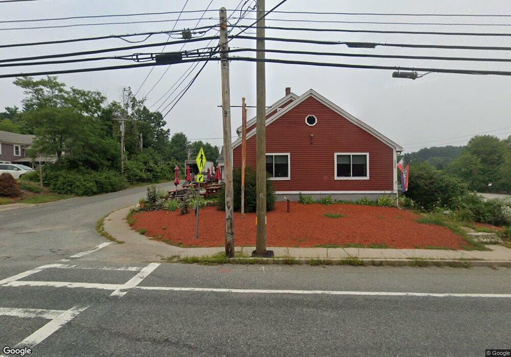
450 Main St Unit B-rear Sturbridge, MA 01518
Estimated Value: $786,002
1
Bed
2
Baths
2,511
Sq Ft
$313/Sq Ft
Est. Value
About This Home
This home is located at 450 Main St Unit B-rear, Sturbridge, MA 01518 and is currently estimated at $786,002, approximately $313 per square foot. 450 Main St Unit B-rear is a home located in Worcester County with nearby schools including Burgess Elementary School, Tantasqua Regional Junior High School, and Tantasqua Regional High School.
Ownership History
Date
Name
Owned For
Owner Type
Purchase Details
Closed on
Jan 7, 2019
Sold by
Cornely Rt
Bought by
Jaa Realty Llc
Current Estimated Value
Purchase Details
Closed on
Jul 30, 1998
Sold by
Andrea Thomas and Andrea Mary P
Bought by
Cornely Rt
Home Financials for this Owner
Home Financials are based on the most recent Mortgage that was taken out on this home.
Original Mortgage
$304,000
Interest Rate
6.92%
Mortgage Type
Commercial
Create a Home Valuation Report for This Property
The Home Valuation Report is an in-depth analysis detailing your home's value as well as a comparison with similar homes in the area
Home Values in the Area
Average Home Value in this Area
Purchase History
| Date | Buyer | Sale Price | Title Company |
|---|---|---|---|
| Jaa Realty Llc | $460,000 | -- | |
| Cornely Rt | $380,000 | -- |
Source: Public Records
Mortgage History
| Date | Status | Borrower | Loan Amount |
|---|---|---|---|
| Previous Owner | Cornely Rt | $304,000 |
Source: Public Records
Tax History Compared to Growth
Tax History
| Year | Tax Paid | Tax Assessment Tax Assessment Total Assessment is a certain percentage of the fair market value that is determined by local assessors to be the total taxable value of land and additions on the property. | Land | Improvement |
|---|---|---|---|---|
| 2025 | $10,926 | $685,900 | $141,800 | $544,100 |
| 2024 | $10,488 | $636,000 | $138,700 | $497,300 |
| 2023 | $9,868 | $546,100 | $120,100 | $426,000 |
| 2022 | $8,799 | $459,500 | $106,700 | $352,800 |
| 2021 | $10,043 | $528,000 | $106,700 | $421,300 |
| 2020 | $10,043 | $528,000 | $106,700 | $421,300 |
| 2019 | $9,586 | $500,600 | $109,700 | $390,900 |
| 2018 | $9,253 | $476,000 | $104,400 | $371,600 |
| 2017 | $8,868 | $457,100 | $100,700 | $356,400 |
| 2016 | $8,723 | $454,100 | $97,700 | $356,400 |
| 2015 | $8,312 | $432,000 | $97,700 | $334,300 |
Source: Public Records
Map
Nearby Homes
- 7 Crescent Way Unit 315
- 24 Cricket Dr
- 76 Stallion Hill Rd
- 6 Cedar Pond Dr
- 368 Main St
- 7 Meadow View Ln
- 51-A Seneca Ln
- 621 Main St
- 16 Summit Ave
- 43 Mountain Brook Rd
- 22 Mountain Brook Rd
- 73 New Boston Rd
- 50 Beach Ave
- 9 Haynes St
- 7 Haynes St
- 6 Jerry Rd
- 10 Maple St
- 20 Audubon Way
- 146-A. Cedar St
- 146-A Cedar St