450 Morton Rd Walhalla, SC 29691
Estimated Value: $276,000 - $378,472
3
Beds
2
Baths
1,921
Sq Ft
$175/Sq Ft
Est. Value
About This Home
This home is located at 450 Morton Rd, Walhalla, SC 29691 and is currently estimated at $336,157, approximately $174 per square foot. 450 Morton Rd is a home located in Oconee County with nearby schools including Walhalla Elementary School, Walhalla Middle School, and Walhalla High School.
Ownership History
Date
Name
Owned For
Owner Type
Purchase Details
Closed on
Jan 15, 2019
Sold by
Shelton Donald Lee and Barnes Deborah Marianne Shelton
Bought by
Shelton Donald Lee and Barnes Deborah Marianne Shelton
Current Estimated Value
Purchase Details
Closed on
Nov 14, 2018
Sold by
Shelton Katie Lucille
Bought by
Shelton Donald Lee and Shelton Barness Deborah Marianne
Create a Home Valuation Report for This Property
The Home Valuation Report is an in-depth analysis detailing your home's value as well as a comparison with similar homes in the area
Home Values in the Area
Average Home Value in this Area
Purchase History
| Date | Buyer | Sale Price | Title Company |
|---|---|---|---|
| Shelton Donald Lee | -- | None Available | |
| Shelton Donald Lee | -- | None Available |
Source: Public Records
Tax History
| Year | Tax Paid | Tax Assessment Tax Assessment Total Assessment is a certain percentage of the fair market value that is determined by local assessors to be the total taxable value of land and additions on the property. | Land | Improvement |
|---|---|---|---|---|
| 2025 | $383 | $8,393 | $4,055 | $4,338 |
| 2024 | $383 | $8,393 | $4,055 | $4,338 |
| 2023 | $388 | $8,393 | $4,055 | $4,338 |
| 2022 | $388 | $8,393 | $4,055 | $4,338 |
| 2021 | $565 | $6,933 | $3,135 | $3,798 |
| 2020 | $441 | $6,933 | $3,135 | $3,798 |
| 2019 | $441 | $0 | $0 | $0 |
| 2018 | $1,158 | $0 | $0 | $0 |
| 2017 | $565 | $0 | $0 | $0 |
| 2016 | $565 | $0 | $0 | $0 |
| 2015 | -- | $0 | $0 | $0 |
| 2014 | -- | $13,585 | $6,117 | $7,468 |
| 2013 | -- | $0 | $0 | $0 |
Source: Public Records
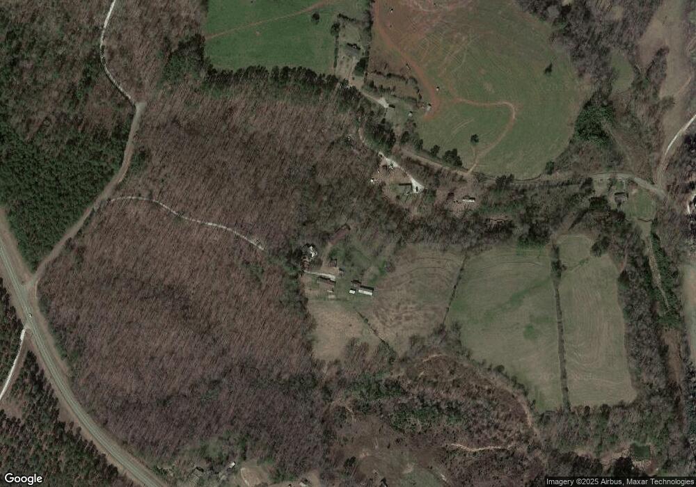
Map
Nearby Homes
- 1817 Hastehill Dr
- 533 Sixteenth Cir
- 525 Sixteenth Cir
- Hudson Plan at Windsor Estates
- Bramante Ranch Plan at Windsor Estates
- Savannah Plan at Windsor Estates
- Columbia Plan at Windsor Estates
- Cumberland Plan at Windsor Estates
- Cumberland with Basement Plan at Windsor Estates
- 408 Falcons Lair West Dr
- 857 Pickett Post Rd
- 1515 Hendon Dr
- 2009 Aberdeen Ln
- 00 Lecroy Rd
- 505 Hillside Dr
- 310 Falcons Nest Rd
- 565 Whippoorwill Ln
- 00 Heaven View Dr
- 595 Morris Ln
- Lot 7 Winstead Rd
- 449 Morton Rd
- 00 Austin Edwards Rd
- 321 Austin Edwards Rd
- 185 Earth Berm Ln
- 4180 N Highway 11
- 319 Austin Edwards Rd
- 190 Earth Berm Ln
- 4116 N Highway 11
- 350 Austin Edwards Rd
- 4110 N Highway 11
- 148 Stella Ave
- 371 Austin Edwards Rd
- 155 Stubblefield Dr
- 4039 N Highway 11
- 530 the Estates Dr
- 560 the Estates Dr
- 207 Nellie Rd
- 209 Nellie Rd
- 206 Nellie Rd
- 204 Nellie Rd
Your Personal Tour Guide
Ask me questions while you tour the home.