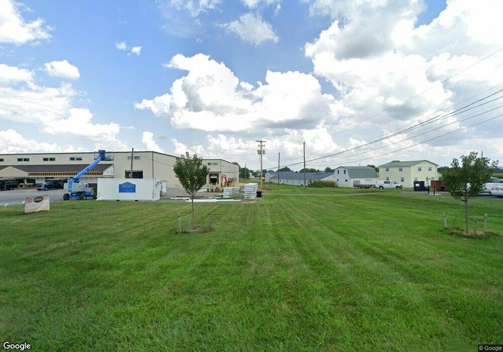
450 Pequea Ave Honey Brook, PA 19344
Estimated Value: $1,983,286
--
Bed
--
Bath
59,272
Sq Ft
$33/Sq Ft
Est. Value
About This Home
This home is located at 450 Pequea Ave, Honey Brook, PA 19344 and is currently estimated at $1,983,286, approximately $33 per square foot. 450 Pequea Ave is a home located in Chester County with nearby schools including Honey Brook Elementary Center, Twin Valley Middle School, and Twin Valley High School.
Ownership History
Date
Name
Owned For
Owner Type
Purchase Details
Closed on
Jul 20, 2023
Sold by
Kern & Kern Partnership
Bought by
450 Pequea Llc
Current Estimated Value
Home Financials for this Owner
Home Financials are based on the most recent Mortgage that was taken out on this home.
Original Mortgage
$1,400,000
Outstanding Balance
$850,117
Interest Rate
6.69%
Mortgage Type
Seller Take Back
Estimated Equity
$1,148,928
Purchase Details
Closed on
Jun 1, 1987
Bought by
Kern and Partnership
Create a Home Valuation Report for This Property
The Home Valuation Report is an in-depth analysis detailing your home's value as well as a comparison with similar homes in the area
Home Values in the Area
Average Home Value in this Area
Purchase History
| Date | Buyer | Sale Price | Title Company |
|---|---|---|---|
| 450 Pequea Llc | $1,750,000 | None Listed On Document | |
| Kern | $175,000 | -- |
Source: Public Records
Mortgage History
| Date | Status | Borrower | Loan Amount |
|---|---|---|---|
| Open | 450 Pequea Llc | $1,400,000 |
Source: Public Records
Tax History Compared to Growth
Tax History
| Year | Tax Paid | Tax Assessment Tax Assessment Total Assessment is a certain percentage of the fair market value that is determined by local assessors to be the total taxable value of land and additions on the property. | Land | Improvement |
|---|---|---|---|---|
| 2025 | $9,092 | $222,060 | $169,380 | $52,680 |
| 2024 | $9,092 | $222,060 | $169,380 | $52,680 |
| 2023 | $8,898 | $222,060 | $169,380 | $52,680 |
| 2022 | $8,540 | $222,060 | $169,380 | $52,680 |
| 2021 | $8,255 | $222,060 | $169,380 | $52,680 |
| 2020 | $8,214 | $222,060 | $169,380 | $52,680 |
| 2019 | $7,948 | $222,060 | $169,380 | $52,680 |
| 2018 | $7,948 | $222,060 | $169,380 | $52,680 |
| 2017 | $7,722 | $222,060 | $169,380 | $52,680 |
| 2016 | $6,032 | $222,060 | $169,380 | $52,680 |
| 2015 | $6,032 | $222,060 | $169,380 | $52,680 |
| 2014 | $6,032 | $222,060 | $169,380 | $52,680 |
Source: Public Records
Map
Nearby Homes
- 407 Cahill Cir Unit 4
- 110 Petrelia Dr
- 0 Westbrook Dr
- 0 Westbrook Dr
- 0 Westbrook Dr
- 0 Westbrook Dr
- 650 Broad St
- 14 Blue Spruce Dr
- 607 Buchland Rd
- 1022 Elwood St
- 339 Churchtown Rd
- 241 Dove Dr
- 40 Cupola Rd
- 5892 Meadville Rd
- 490 Red Hill Rd
- 112 Maxwell Hill Rd
- 1250 Chestnut Tree Rd
- 211 Michael Rd
- 2085 Main St
- 194 Joyce Ln
- 310 Pequea Ave
- 1369 Walnut Rd
- 1195 Walnut St
- 290 Pequea Ave
- 1140 Maple St
- 1337 Walnut Rd
- 1337 Walnut Rd Unit 1351
- 135 Waynebrook Dr
- 550 Compass Rd
- 1120 Maple St
- 125 Waynebrook Dr
- 101 Waynebrook Dr
- 1039 Maple St
- 1171 Walnut St
- 1094 Maple St
- 291 Pequea Ave
- 260 Pequea Ave
- 99 Waynebrook Dr
- 1029 Maple St
- 1074 Maple St