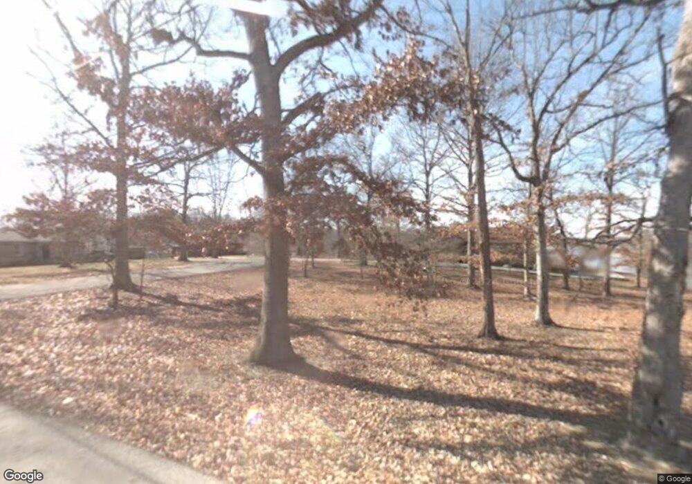
450 Rich Loop Sparta, TN 38583
Estimated Value: $295,013 - $404,000
--
Bed
--
Bath
1,488
Sq Ft
$230/Sq Ft
Est. Value
About This Home
This home is located at 450 Rich Loop, Sparta, TN 38583 and is currently estimated at $341,503, approximately $229 per square foot. 450 Rich Loop is a home with nearby schools including Bon De Croft Elementary School, White County Middle School, and White County High School.
Ownership History
Date
Name
Owned For
Owner Type
Purchase Details
Closed on
Sep 13, 2009
Sold by
Cathey Frank W
Bought by
Smith George T
Current Estimated Value
Purchase Details
Closed on
Mar 26, 1998
Sold by
John Scoggins
Bought by
Lafever and Jean
Purchase Details
Closed on
Oct 15, 1997
Sold by
John Scoggins
Bought by
Gesvain and Virginia
Purchase Details
Closed on
Jul 28, 1997
Purchase Details
Closed on
Jun 2, 1989
Bought by
Scoggins Johnn and Scoggins Brenda G
Purchase Details
Closed on
Nov 22, 1988
Bought by
Titko James and Titko Judy
Purchase Details
Closed on
Oct 2, 1973
Bought by
Splan Chas J and Splan Betty
Create a Home Valuation Report for This Property
The Home Valuation Report is an in-depth analysis detailing your home's value as well as a comparison with similar homes in the area
Home Values in the Area
Average Home Value in this Area
Purchase History
| Date | Buyer | Sale Price | Title Company |
|---|---|---|---|
| Smith George T | $50,000 | -- | |
| Lafever | $22,000 | -- | |
| Gesvain | $20,000 | -- | |
| -- | $20,000 | -- | |
| Scoggins Johnn | $7,500 | -- | |
| Titko James | $7,500 | -- | |
| Splan Chas J | -- | -- |
Source: Public Records
Tax History Compared to Growth
Tax History
| Year | Tax Paid | Tax Assessment Tax Assessment Total Assessment is a certain percentage of the fair market value that is determined by local assessors to be the total taxable value of land and additions on the property. | Land | Improvement |
|---|---|---|---|---|
| 2024 | $1,053 | $51,375 | $8,750 | $42,625 |
| 2023 | $1,053 | $51,375 | $8,750 | $42,625 |
| 2022 | $1,053 | $51,375 | $8,750 | $42,625 |
| 2021 | $1,053 | $51,375 | $8,750 | $42,625 |
| 2020 | $1,053 | $51,375 | $8,750 | $42,625 |
| 2019 | $867 | $42,300 | $7,500 | $34,800 |
| 2018 | $727 | $42,300 | $7,500 | $34,800 |
| 2017 | $154 | $7,500 | $7,500 | $0 |
| 2016 | $154 | $7,500 | $7,500 | $0 |
| 2015 | $139 | $7,500 | $7,500 | $0 |
| 2014 | -- | $7,500 | $7,500 | $0 |
| 2013 | -- | $15,000 | $15,000 | $0 |
Source: Public Records
Map
Nearby Homes
- 296 Idlewild Dr
- 8705 Crossville Hwy
- 8607 Crossville Hwy
- 852 Eastland Rd
- Lot 3 N Star Rd
- 245 Woolf Pass Ln
- 306 Viola Dr
- 648 Wigwam St
- 0 N Star Rd Unit RTC2778223
- Lot 213 Buck Loop
- 5445 Coal Bank Rd
- 6555 Crossville Hwy
- 210 Kingwood Dr
- 629 Woodland Trail
- lot 29 Woodland Trail
- 179 Holiday Ln
- 214 Holiday Ln
- .23 ac Olen Ln
- 454 Rich Loop
- 448 Rich Loop
- 460 Rich Loop
- 470 Rich Loop
- 421 Rich Loop
- 406 Rich Loop
- 140 Idlewild Dr
- 496 Rich Loop
- 485 Rich Loop
- 391 Ash Bury Dr
- 387 Rich Loop
- 204 Idlewild Dr
- 222 Idlewild Dr
- 376 Rich Loop
- 244 Idlewild Dr
- 371 Ash Bury Dr
- 371 Ash Bury Dr
- 189 Rich Loop
- 8973 Crossville Hwy
- 417 Ash Bury Dr