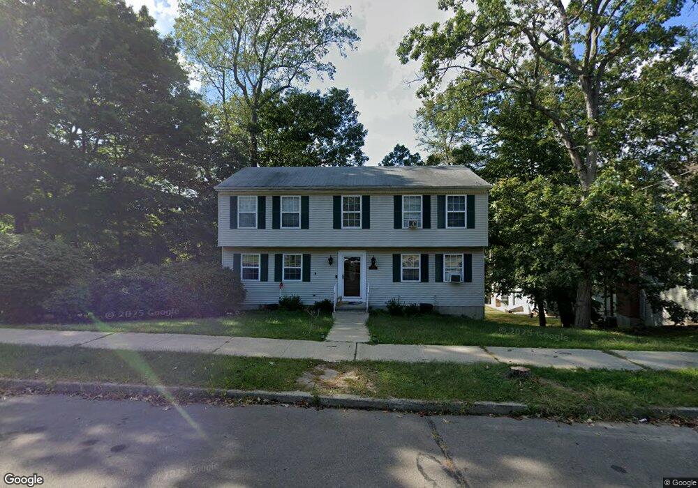
450 Stevenson Rd New Haven, CT 06515
Westville NeighborhoodEstimated Value: $502,000 - $561,000
4
Beds
7
Baths
2,000
Sq Ft
$263/Sq Ft
Est. Value
About This Home
This home is located at 450 Stevenson Rd, New Haven, CT 06515 and is currently estimated at $525,229, approximately $262 per square foot. 450 Stevenson Rd is a home located in New Haven County with nearby schools including Davis Academy for Arts & Design Innovation, Elm City Montessori School, and Hopkins School.
Ownership History
Date
Name
Owned For
Owner Type
Purchase Details
Closed on
Mar 19, 2010
Sold by
Javaheri Fereidoon and Javaheri Kathy
Bought by
West Jamisha
Current Estimated Value
Home Financials for this Owner
Home Financials are based on the most recent Mortgage that was taken out on this home.
Original Mortgage
$245,471
Outstanding Balance
$154,028
Interest Rate
4.25%
Mortgage Type
FHA
Estimated Equity
$371,201
Purchase Details
Closed on
Oct 15, 1996
Sold by
Argraves Brad and Argraves Mark
Bought by
Javaheri Fereiroon and Kilstofte Kathy
Home Financials for this Owner
Home Financials are based on the most recent Mortgage that was taken out on this home.
Original Mortgage
$123,000
Interest Rate
6.88%
Mortgage Type
Unknown
Create a Home Valuation Report for This Property
The Home Valuation Report is an in-depth analysis detailing your home's value as well as a comparison with similar homes in the area
Home Values in the Area
Average Home Value in this Area
Purchase History
| Date | Buyer | Sale Price | Title Company |
|---|---|---|---|
| West Jamisha | $250,000 | -- | |
| Javaheri Fereiroon | $130,000 | -- |
Source: Public Records
Mortgage History
| Date | Status | Borrower | Loan Amount |
|---|---|---|---|
| Open | Javaheri Fereiroon | $245,471 | |
| Closed | Javaheri Fereiroon | $21,000 | |
| Previous Owner | Javaheri Fereiroon | $71,709 | |
| Previous Owner | Javaheri Fereiroon | $123,000 |
Source: Public Records
Tax History
| Year | Tax Paid | Tax Assessment Tax Assessment Total Assessment is a certain percentage of the fair market value that is determined by local assessors to be the total taxable value of land and additions on the property. | Land | Improvement |
|---|---|---|---|---|
| 2025 | $9,281 | $235,550 | $62,020 | $173,530 |
| 2024 | $9,069 | $235,550 | $62,020 | $173,530 |
| 2023 | $8,762 | $235,550 | $62,020 | $173,530 |
| 2022 | $9,363 | $235,550 | $62,020 | $173,530 |
| 2021 | $7,750 | $176,610 | $40,320 | $136,290 |
| 2020 | $7,750 | $176,610 | $40,320 | $136,290 |
| 2019 | $7,591 | $176,610 | $40,320 | $136,290 |
| 2018 | $7,591 | $176,610 | $40,320 | $136,290 |
| 2017 | $6,831 | $176,610 | $40,320 | $136,290 |
| 2016 | $7,530 | $181,230 | $41,860 | $139,370 |
| 2015 | $7,530 | $181,230 | $41,860 | $139,370 |
| 2014 | $7,530 | $181,230 | $41,860 | $139,370 |
Source: Public Records
Map
Nearby Homes
- 56 Roger Rd
- 690 Forest Rd Unit 702
- 690 Forest Rd Unit 703
- 690 Forest Rd Unit 761
- 690 Forest Rd Unit 501
- 690 Forest Rd Unit 651
- 224 Ray Rd
- 21 Richmond Ave
- 119 Westwood Rd
- 55 Marvel Rd
- 252 Alden Ave
- 420 Central Ave
- 125 Lowin Ave
- 51 Fountain Terrace
- 50 Morris Ave
- 143 Fountain St Unit A11
- 595 Central Ave
- 1016 Whalley Ave Unit 6
- 107 Glen View Terrace
- 50 Maltby Ave
- 260 Kohary Dr
- 460 Stevenson Rd
- 250 Kohary Dr
- 475 Stevenson Rd
- 446 Stevenson Rd
- 470 Stevenson Rd
- 465 Stevenson Rd
- 440 Stevenson Rd
- 240 Kohary Dr
- 265 Kohary Dr
- 255 Kohary Dr
- 5 Spencer Place
- 455 Stevenson Rd
- 430 Stevenson Rd
- 200 Whittier Rd
- 245 Kohary Dr
- 230 Kohary Dr
- 420 Stevenson Rd
- 445 Stevenson Rd
- 15 Spencer Place
Your Personal Tour Guide
Ask me questions while you tour the home.