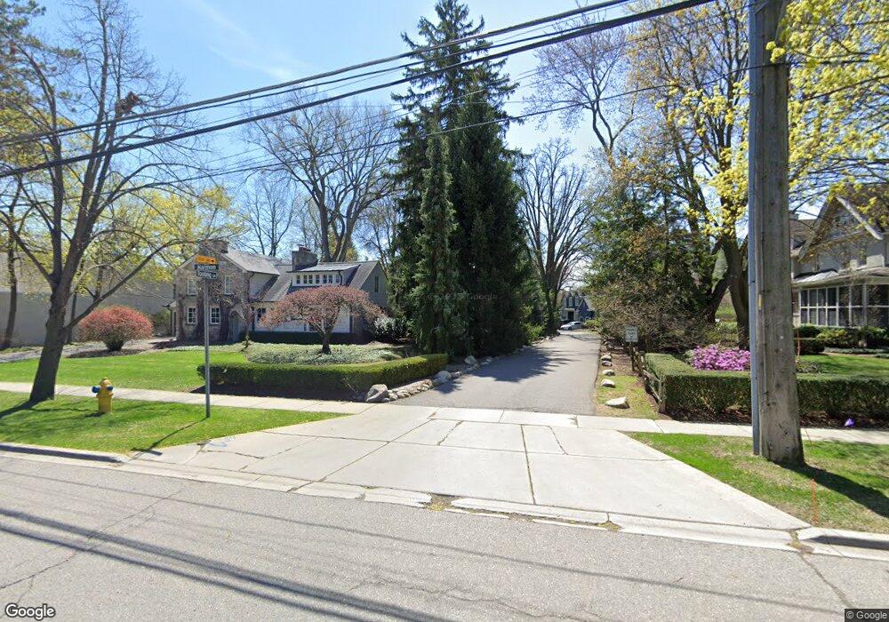
450 Tooting Ln Birmingham, MI 48009
Estimated Value: $1,402,684 - $1,953,000
4
Beds
4
Baths
2,334
Sq Ft
$712/Sq Ft
Est. Value
About This Home
This home is located at 450 Tooting Ln, Birmingham, MI 48009 and is currently estimated at $1,660,671, approximately $711 per square foot. 450 Tooting Ln is a home located in Oakland County with nearby schools including Pierce Elementary School, Derby Middle School, and Ernest W. Seaholm High School.
Ownership History
Date
Name
Owned For
Owner Type
Purchase Details
Closed on
Aug 9, 2018
Sold by
Nordile Nancy L
Bought by
Nancy L Nordie Trust
Current Estimated Value
Purchase Details
Closed on
Jan 28, 2009
Sold by
Nordlie Nancy H
Bought by
Nordlie Nancy H and Nancy H Nordlie Trust
Purchase Details
Closed on
Jan 19, 2000
Sold by
Connaughton Thomas J
Bought by
James O Nordlie Tr
Purchase Details
Closed on
Aug 4, 1997
Sold by
James O Nordlie Tr
Bought by
Connaughton Thomas J
Create a Home Valuation Report for This Property
The Home Valuation Report is an in-depth analysis detailing your home's value as well as a comparison with similar homes in the area
Home Values in the Area
Average Home Value in this Area
Purchase History
| Date | Buyer | Sale Price | Title Company |
|---|---|---|---|
| Nancy L Nordie Trust | -- | None Available | |
| Nordlie Nancy H | -- | None Available | |
| Nordlie James O | -- | None Available | |
| Nordlie James O | -- | None Available | |
| James O Nordlie Tr | -- | -- | |
| Connaughton Thomas J | -- | -- |
Source: Public Records
Tax History Compared to Growth
Tax History
| Year | Tax Paid | Tax Assessment Tax Assessment Total Assessment is a certain percentage of the fair market value that is determined by local assessors to be the total taxable value of land and additions on the property. | Land | Improvement |
|---|---|---|---|---|
| 2024 | $15,385 | $584,190 | $0 | $0 |
| 2023 | $14,743 | $515,360 | $0 | $0 |
| 2022 | $15,807 | $494,240 | $0 | $0 |
| 2021 | $15,947 | $473,810 | $0 | $0 |
| 2020 | $14,208 | $469,650 | $0 | $0 |
| 2019 | $16,079 | $462,210 | $0 | $0 |
| 2018 | $12,699 | $460,700 | $0 | $0 |
| 2017 | $12,678 | $446,940 | $0 | $0 |
| 2016 | $12,701 | $435,330 | $0 | $0 |
| 2015 | -- | $398,270 | $0 | $0 |
| 2014 | -- | $327,800 | $0 | $0 |
| 2011 | -- | $302,410 | $0 | $0 |
Source: Public Records
Map
Nearby Homes
- 485 Harmon St
- 601 Dewey St
- 639 N Old Woodward Ave Unit 8
- 488 Vinewood Ave
- 395 Greenwood St
- 369 N Old Woodward Ave Unit 207
- 369 N Old Woodward Ave Unit 307
- 369 N Old Woodward Ave Unit 206
- 369 N Old Woodward Ave Unit 301
- 532 Brookside Ave
- 555 Baldwin Ct
- 667 Oak Ave
- 417 Baldwin Rd
- 111 Willits St Unit 403
- 592 Lakeside Dr
- 255 Southfield Rd Unit 1
- 586 W Merrill St
- 200 Woodland Villa Ct
- 1111 N Old Woodward Ave Unit 26
- 1111 N Old Woodward Ave Unit 4
- 469 Bonnie Brier St
- 475 Bonnie Brier St
- 424 Tooting Ln
- 546 Tooting Ln
- 455 Harmon St
- 451 Bonnie Brier St
- 519 Harmon St
- 425 Harmon St
- 556 Tooting Ln
- 525 Harmon St
- 433 Bonnie Brier St
- 475 Tooting Ln
- 584 Tooting Ln
- 383 Harmon St
- 601 Harmon St
- 405 Bonnie Brier St
- 515 Tooting Ln
- 548 Harmon St
- 460 Bonnie Brier St
- 520 Harmon St