450 Wild Turkey Ln Robertsville, MO 63072
Estimated Value: $110,000 - $311,000
3
Beds
2
Baths
1,500
Sq Ft
$162/Sq Ft
Est. Value
About This Home
This home is located at 450 Wild Turkey Ln, Robertsville, MO 63072 and is currently estimated at $242,980, approximately $161 per square foot. 450 Wild Turkey Ln is a home located in Franklin County with nearby schools including Lonedell Elementary School.
Ownership History
Date
Name
Owned For
Owner Type
Purchase Details
Closed on
Sep 25, 2023
Sold by
Wilson Realty Inc
Bought by
Annie K Properties Llc
Current Estimated Value
Purchase Details
Closed on
Sep 1, 2017
Sold by
Franklin Financial Corp
Bought by
Wilson & Son Properties Inc
Purchase Details
Closed on
Nov 6, 2013
Sold by
South & Associates Pc
Bought by
Franklin Financial Corp
Purchase Details
Closed on
Jan 6, 2009
Sold by
Hsbc Mmortgage Service Inc
Bought by
Timmerman Matthew W
Home Financials for this Owner
Home Financials are based on the most recent Mortgage that was taken out on this home.
Original Mortgage
$95,733
Interest Rate
5.13%
Mortgage Type
FHA
Purchase Details
Closed on
Jul 7, 2008
Sold by
Blair Cody J
Bought by
Hsbc Mortgage Services Inc
Create a Home Valuation Report for This Property
The Home Valuation Report is an in-depth analysis detailing your home's value as well as a comparison with similar homes in the area
Home Values in the Area
Average Home Value in this Area
Purchase History
| Date | Buyer | Sale Price | Title Company |
|---|---|---|---|
| Annie K Properties Llc | -- | None Listed On Document | |
| Wilson & Son Properties Inc | -- | -- | |
| Franklin Financial Corp | $50,161 | -- | |
| Timmerman Matthew W | -- | None Available | |
| Hsbc Mortgage Services Inc | $114,908 | None Available |
Source: Public Records
Mortgage History
| Date | Status | Borrower | Loan Amount |
|---|---|---|---|
| Previous Owner | Timmerman Matthew W | $95,733 |
Source: Public Records
Tax History Compared to Growth
Tax History
| Year | Tax Paid | Tax Assessment Tax Assessment Total Assessment is a certain percentage of the fair market value that is determined by local assessors to be the total taxable value of land and additions on the property. | Land | Improvement |
|---|---|---|---|---|
| 2025 | $1,930 | $30,877 | $0 | $0 |
| 2024 | $1,930 | $26,534 | $0 | $0 |
| 2023 | $1,514 | $26,534 | $0 | $0 |
| 2022 | $1,653 | $28,945 | $0 | $0 |
| 2021 | $1,649 | $28,945 | $0 | $0 |
| 2020 | $1,547 | $26,748 | $0 | $0 |
| 2019 | $1,544 | $26,748 | $0 | $0 |
| 2018 | $1,441 | $24,822 | $0 | $0 |
| 2017 | $1,429 | $24,822 | $0 | $0 |
| 2016 | $1,348 | $23,384 | $0 | $0 |
| 2015 | $1,344 | $23,384 | $0 | $0 |
| 2014 | $1,378 | $24,680 | $0 | $0 |
Source: Public Records
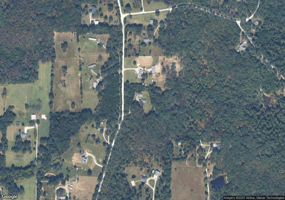
Map
Nearby Homes
- 0 N Hendricks Rd Unit MIS25078611
- 1811 Hendricks Rd
- 1855 Hendricks Rd
- 4373 E Linda Ln
- 2227 State Route N
- 5199 Highway N
- 420 Nancy Dr
- 8716 Highway Hh
- 525 Cedar View Dr
- 1065 Birch Dr
- 563 Calvey Heights Ct
- 000 Fairview Church Rd
- 10262 Hawks Rd
- 5563 E Anding Dr
- 0 Watts Ridge Dr
- 0 Woodland Valley Dr Unit MAR25002747
- 9265 St Route 30
- 000 Forest Rd
- 9916 Hawks Point Dr
- 7933 Medley Dr
- 424 Wild Turkey Ln
- 769 Carmona Ln
- 467 Wild Turkey Ln
- 172 Carter Ln
- 411 Wild Turkey Ln
- 4137 E Linda Ln
- 761 Carmona Ln
- 30 Lot Carter Ln
- 4107 E Linda Ln
- 401 Wild Turkey Ln
- 0 E Linda Ln & N Hendrix Rd
- 311 Oak Leaf Ln
- 185 Carter Ln
- 4201 E Linda Ln
- 4187 E Linda Ln
- 126 Carter Ln
- 4210 E Linda Ln
- 125 Carter Ln
- 4186 E Linda Ln
- 341 Oak View Ln