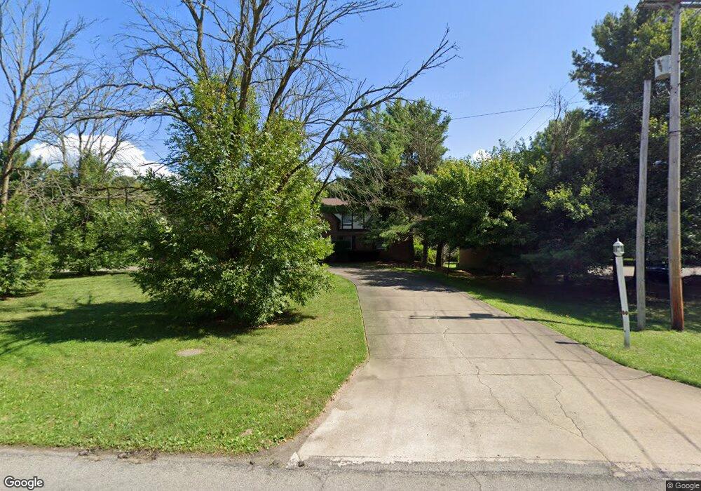
4500 Logan Gate Rd Unit 4 Youngstown, OH 44505
Estimated Value: $86,000 - $127,736
--
Bed
--
Bath
--
Sq Ft
0.64
Acres
About This Home
This home is located at 4500 Logan Gate Rd Unit 4, Youngstown, OH 44505 and is currently estimated at $103,184. 4500 Logan Gate Rd Unit 4 is a home located in Trumbull County with nearby schools including E.J. Blott Elementary School, William S. Guy Middle School, and Liberty High School.
Ownership History
Date
Name
Owned For
Owner Type
Purchase Details
Closed on
Nov 28, 2023
Sold by
Ellington Marty
Bought by
Marty Ellington Sr 2021 Living Trust and Ellington
Current Estimated Value
Purchase Details
Closed on
Aug 15, 2006
Sold by
Eden Alberta J
Bought by
Ellington Marty
Purchase Details
Closed on
Aug 10, 2006
Sold by
Eden Alberta J
Bought by
Ellington Marty
Purchase Details
Closed on
Jan 1, 1990
Bought by
Alberta J Eden
Create a Home Valuation Report for This Property
The Home Valuation Report is an in-depth analysis detailing your home's value as well as a comparison with similar homes in the area
Home Values in the Area
Average Home Value in this Area
Purchase History
| Date | Buyer | Sale Price | Title Company |
|---|---|---|---|
| Marty Ellington Sr 2021 Living Trust | -- | None Listed On Document | |
| Ellington Marty | $47,000 | None Available | |
| Ellington Marty | $47,000 | None Available | |
| Alberta J Eden | -- | -- |
Source: Public Records
Tax History Compared to Growth
Tax History
| Year | Tax Paid | Tax Assessment Tax Assessment Total Assessment is a certain percentage of the fair market value that is determined by local assessors to be the total taxable value of land and additions on the property. | Land | Improvement |
|---|---|---|---|---|
| 2024 | $1,623 | $31,080 | $3,500 | $27,580 |
| 2023 | $1,623 | $31,080 | $3,500 | $27,580 |
| 2022 | $1,844 | $28,420 | $3,220 | $25,200 |
| 2021 | $1,847 | $28,420 | $3,220 | $25,200 |
| 2020 | $1,851 | $28,420 | $3,220 | $25,200 |
| 2019 | $1,810 | $24,510 | $2,980 | $21,530 |
| 2018 | $1,799 | $24,510 | $2,980 | $21,530 |
| 2017 | $1,751 | $24,510 | $2,980 | $21,530 |
| 2016 | $1,675 | $23,210 | $2,980 | $20,230 |
| 2015 | $1,688 | $23,210 | $2,980 | $20,230 |
| 2014 | $1,670 | $23,210 | $2,980 | $20,230 |
| 2013 | $1,715 | $24,510 | $2,980 | $21,530 |
Source: Public Records
Map
Nearby Homes
- 2012 Crestwood Blvd
- 2010 Powder Mill Run
- 3502 Somerset Dr Unit B
- 2021 Crestwood Blvd
- 0 Powder Mill Run Unit 5127327
- 0 Powder Mill Run Unit 5127333
- 2046 Burning Tree Ln
- 3943 Logangate Rd
- 3712 Logan Way
- 9 Redfern Dr
- 1303 Stonington Dr
- 1363 Country Club Dr
- 4260 Logan Way
- 0 Stonington Dr
- 28 Wildfern Dr
- 3735 Sampson Rd
- 5843 Fairlawn Ave
- 0 Townsend Ave
- 0 Homestead Rd
- 3730 Saint Andrews Dr
- 4500 Logan Gate Rd Unit 2
- 4500 Logan Gate Rd Unit 1
- 4500 Logan Gate Rd
- 4 Powder Mill Run
- 14 Powder Mill Run
- 13 Powder Mill Run
- 13 A Powder Mill Run
- 4650 Logan Gate Rd
- 2004 Powder Mill Run
- 2005 Powder Mill Run
- 2010 Crestwood Blvd
- 2006 Powder Mill Run
- 4128 Logangate Rd
- 0 Crestwood Blvd Unit 3903838
- 2008 Powder Mill
- 2008 Powder Mill Run
- 2009 Powder Mill Run
- 2001 Crestwood Blvd
- 3509 Somerset Dr Unit B
- 3509 Somerset Dr Unit A