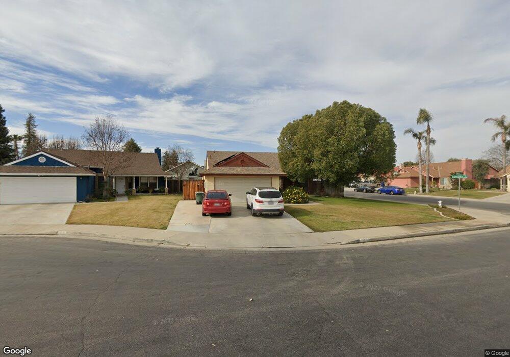
4501 Devlin Ct Bakersfield, CA 93311
Gosford NeighborhoodEstimated Value: $359,402 - $384,000
3
Beds
1
Bath
1,454
Sq Ft
$256/Sq Ft
Est. Value
About This Home
This home is located at 4501 Devlin Ct, Bakersfield, CA 93311 and is currently estimated at $371,851, approximately $255 per square foot. 4501 Devlin Ct is a home located in Kern County with nearby schools including Sing Lum Elementary School, Tevis Junior High School, and Stockdale High School.
Ownership History
Date
Name
Owned For
Owner Type
Purchase Details
Closed on
Jul 3, 2003
Sold by
Rangel Amaris
Bought by
Guhr Carol A
Current Estimated Value
Home Financials for this Owner
Home Financials are based on the most recent Mortgage that was taken out on this home.
Original Mortgage
$147,885
Outstanding Balance
$62,447
Interest Rate
5.17%
Mortgage Type
FHA
Estimated Equity
$309,404
Purchase Details
Closed on
Mar 29, 2001
Sold by
Will Kirby D and Will Jodi E
Bought by
Rangel Eddie and Rangel Amaris
Home Financials for this Owner
Home Financials are based on the most recent Mortgage that was taken out on this home.
Original Mortgage
$108,250
Interest Rate
7.06%
Mortgage Type
FHA
Create a Home Valuation Report for This Property
The Home Valuation Report is an in-depth analysis detailing your home's value as well as a comparison with similar homes in the area
Home Values in the Area
Average Home Value in this Area
Purchase History
| Date | Buyer | Sale Price | Title Company |
|---|---|---|---|
| Guhr Carol A | $150,000 | Fidelity Title | |
| Rangel Amaris | -- | Fidelity Title | |
| Rangel Eddie | $110,500 | Commonwealth Land Title Co |
Source: Public Records
Mortgage History
| Date | Status | Borrower | Loan Amount |
|---|---|---|---|
| Open | Guhr Carol A | $147,885 | |
| Previous Owner | Rangel Eddie | $108,250 | |
| Closed | Guhr Carol A | $9,000 |
Source: Public Records
Tax History
| Year | Tax Paid | Tax Assessment Tax Assessment Total Assessment is a certain percentage of the fair market value that is determined by local assessors to be the total taxable value of land and additions on the property. | Land | Improvement |
|---|---|---|---|---|
| 2025 | $3,221 | $213,249 | $52,595 | $160,654 |
| 2024 | $3,171 | $209,068 | $51,564 | $157,504 |
| 2023 | $3,171 | $204,969 | $50,553 | $154,416 |
| 2022 | $3,045 | $200,951 | $49,562 | $151,389 |
| 2021 | $2,928 | $197,012 | $48,591 | $148,421 |
| 2020 | $2,876 | $194,993 | $48,093 | $146,900 |
| 2019 | $2,839 | $194,993 | $48,093 | $146,900 |
| 2018 | $2,716 | $187,423 | $46,226 | $141,197 |
| 2017 | $2,676 | $183,749 | $45,320 | $138,429 |
| 2016 | $2,510 | $180,147 | $44,432 | $135,715 |
| 2015 | $2,487 | $177,442 | $43,765 | $133,677 |
| 2014 | $2,044 | $140,000 | $35,000 | $105,000 |
Source: Public Records
Map
Nearby Homes
- 9324 Lacroix Ct
- 9601 Lanneau Ct
- 9608 Lacroix Ct
- 9320 Cadbury Dr
- 9008 Heely Ct
- 9508 Bard Ct
- 9408 Nickam Ct
- 9209 Campus Park Ct
- 9905 Lightner Way
- 9813 Fitzgerald Dr
- 9913 Bath Ct
- 4600 Tobin Rd
- 10015 Saint Albans Ave
- 9703 Touchstone Dr
- 9711 Touchstone Dr
- 9326 Cousteau Ave
- 10113 Saint Albans Ave
- 9902 Rancho Verde Dr
- 9501 Kabara Ct Unit 1
- 8832 Sierra Oak Dr
- 4505 Devlin Ct
- 9409 Carvalho Ct
- 4509 Devlin Ct
- 9413 Carvalho Ct
- 9400 Carvalho Ct
- 9404 Carvalho Ct
- 9328 Carvalho Ct
- 9408 Carvalho Ct
- 4500 Devlin Ct
- 4513 Devlin Ct
- 4504 Devlin Ct
- 9324 Carvalho Ct
- 9417 Carvalho Ct
- 9412 Carvalho Ct
- 9400 Lanneau Ct
- 9316 Lanneau Ct
- 9320 Carvalho Ct
- 4508 Devlin Ct
- 9312 Lanneau Ct
- 9408 Lanneau Ct
Your Personal Tour Guide
Ask me questions while you tour the home.