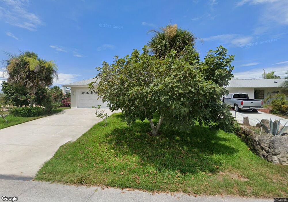
4501 Doris Dr New Smyrna Beach, FL 32169
New Smyrna Beachfront NeighborhoodEstimated Value: $648,182 - $709,000
3
Beds
2
Baths
1,653
Sq Ft
$413/Sq Ft
Est. Value
About This Home
This home is located at 4501 Doris Dr, New Smyrna Beach, FL 32169 and is currently estimated at $682,296, approximately $412 per square foot. 4501 Doris Dr is a home located in Volusia County with nearby schools including Coronado Beach Elementary School, New Smyrna Beach Middle School, and New Smyrna Beach High School.
Ownership History
Date
Name
Owned For
Owner Type
Purchase Details
Closed on
Sep 29, 2003
Sold by
Jarvis Eloise J
Bought by
Ferraro Saverio and Ferraro Anna
Current Estimated Value
Purchase Details
Closed on
Nov 21, 2001
Sold by
San Remo Inv Inc
Bought by
Jarvis Eloise J
Purchase Details
Closed on
May 10, 2001
Sold by
Smithies Gordon A and Smithies Patricia J
Bought by
San Remo Inv Inc
Purchase Details
Closed on
Feb 7, 1997
Sold by
Mason Michael and Mason Florence K
Bought by
Smithies Gordon A and Smithies Patricia J
Purchase Details
Closed on
Aug 15, 1979
Bought by
Ferraro Saverio and Ferraro Anna
Purchase Details
Closed on
Dec 15, 1975
Bought by
Ferraro Saverio and Ferraro Anna
Create a Home Valuation Report for This Property
The Home Valuation Report is an in-depth analysis detailing your home's value as well as a comparison with similar homes in the area
Home Values in the Area
Average Home Value in this Area
Purchase History
| Date | Buyer | Sale Price | Title Company |
|---|---|---|---|
| Ferraro Saverio | $280,000 | -- | |
| Jarvis Eloise J | $196,000 | -- | |
| San Remo Inv Inc | $50,000 | -- | |
| Smithies Gordon A | $39,000 | -- | |
| Ferraro Saverio | $11,500 | -- | |
| Ferraro Saverio | $5,300 | -- |
Source: Public Records
Tax History Compared to Growth
Tax History
| Year | Tax Paid | Tax Assessment Tax Assessment Total Assessment is a certain percentage of the fair market value that is determined by local assessors to be the total taxable value of land and additions on the property. | Land | Improvement |
|---|---|---|---|---|
| 2025 | $9,113 | $576,435 | $225,000 | $351,435 |
| 2024 | $9,113 | $577,352 | $225,000 | $352,352 |
| 2023 | $9,113 | $568,644 | $206,250 | $362,394 |
| 2022 | $8,375 | $499,199 | $228,750 | $270,449 |
| 2021 | $7,733 | $382,506 | $145,500 | $237,006 |
| 2020 | $7,025 | $341,633 | $128,625 | $213,008 |
| 2019 | $7,657 | $355,212 | $97,875 | $257,337 |
| 2018 | $7,324 | $333,510 | $97,875 | $235,635 |
| 2017 | $7,060 | $313,448 | $99,750 | $213,698 |
| 2016 | $6,864 | $288,827 | $0 | $0 |
| 2015 | $6,555 | $273,553 | $0 | $0 |
| 2014 | $6,042 | $261,139 | $0 | $0 |
Source: Public Records
Map
Nearby Homes
- 4503 Saxon Dr
- 4513 Saxon Dr
- 4501 S Atlantic Ave Unit 5070
- 4501 S Atlantic Ave Unit 507
- 4501 S Atlantic Ave Unit 415
- 4501 S Atlantic Ave Unit 5060
- 4501 S Atlantic Ave Unit 4090
- 4501 S Atlantic Ave Unit 4040
- 4493 S Atlantic Ave Unit 3040
- 4715 Van Kleeck Dr
- 0 S Atlantic Ave Unit MFRO6319520
- 0 S Atlantic Ave Unit MFRO6268375
- 0 S Atlantic Ave Unit MFRNS1082495
- 4411 Sea Mist Ct Unit 174
- 4411 Sea Mist Ct Unit 275
- 4407 Sea Mist Ct Unit 267
- 4381 S Atlantic Ave Unit 504
- 4405 Sea Mist Dr Unit 114
- 4405 Sea Mist Dr Unit 218
- 4403 Sea Mist Dr Unit 211