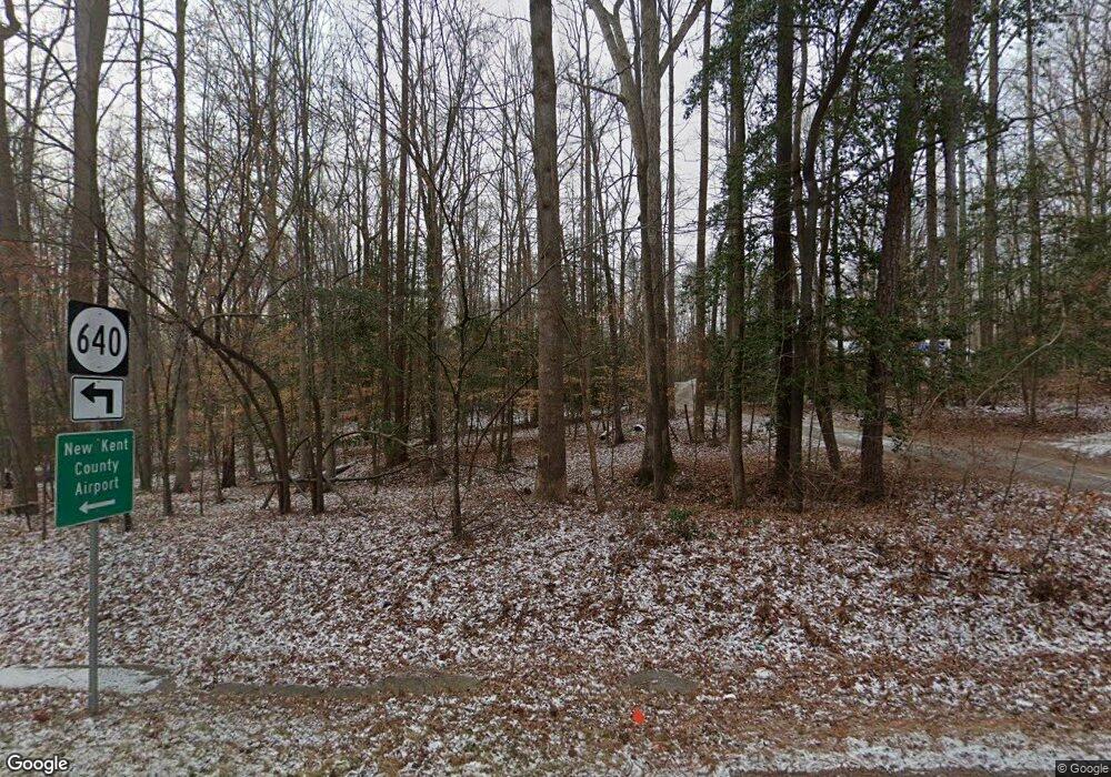
4501 Pocahontas Trail Unit B Quinton, VA 23141
Estimated Value: $365,000 - $522,733
3
Beds
3
Baths
1,488
Sq Ft
$294/Sq Ft
Est. Value
About This Home
This home is located at 4501 Pocahontas Trail Unit B, Quinton, VA 23141 and is currently estimated at $436,933, approximately $293 per square foot. 4501 Pocahontas Trail Unit B is a home located in New Kent County with nearby schools including New Kent High School.
Ownership History
Date
Name
Owned For
Owner Type
Purchase Details
Closed on
Apr 14, 2020
Sold by
Spell Christine Patricia
Bought by
Slosjarik Brian R and Slosjarik Sarah B
Current Estimated Value
Home Financials for this Owner
Home Financials are based on the most recent Mortgage that was taken out on this home.
Original Mortgage
$222,500
Outstanding Balance
$196,734
Interest Rate
3.3%
Mortgage Type
New Conventional
Estimated Equity
$240,199
Create a Home Valuation Report for This Property
The Home Valuation Report is an in-depth analysis detailing your home's value as well as a comparison with similar homes in the area
Home Values in the Area
Average Home Value in this Area
Purchase History
| Date | Buyer | Sale Price | Title Company |
|---|---|---|---|
| Slosjarik Brian R | -- | None Available |
Source: Public Records
Mortgage History
| Date | Status | Borrower | Loan Amount |
|---|---|---|---|
| Open | Slosjarik Brian R | $222,500 |
Source: Public Records
Tax History Compared to Growth
Tax History
| Year | Tax Paid | Tax Assessment Tax Assessment Total Assessment is a certain percentage of the fair market value that is determined by local assessors to be the total taxable value of land and additions on the property. | Land | Improvement |
|---|---|---|---|---|
| 2025 | $2,753 | $458,900 | $185,000 | $273,900 |
| 2024 | $2,708 | $458,900 | $185,000 | $273,900 |
| 2023 | $2,705 | $403,800 | $150,300 | $253,500 |
| 2022 | $2,705 | $403,800 | $150,300 | $253,500 |
| 2021 | $2,842 | $359,700 | $130,400 | $229,300 |
| 2020 | $2,842 | $359,700 | $130,400 | $229,300 |
| 2019 | $276 | $337,000 | $102,900 | $234,100 |
| 2018 | $276 | $337,000 | $102,900 | $234,100 |
| 2017 | $2,574 | $310,100 | $102,900 | $207,200 |
| 2016 | $2,574 | $310,100 | $102,900 | $207,200 |
| 2015 | $2,375 | $282,700 | $86,200 | $196,500 |
| 2014 | -- | $282,700 | $86,200 | $196,500 |
Source: Public Records
Map
Nearby Homes
- 58xx Toe Ink Terrace
- 0 Hickory Rd
- 7262 Lakeshore Dr
- 6302 Lakeside Dr
- 6411 Oak Dr
- 6718 Davis Rd
- 5601 Pocahontas Trail Unit A
- 0 Fairview Dr Unit 2529701
- 5433 Hemlock Rd
- 7048 Lakeshore Dr
- 6904 Lakeshore Ct
- 4111 N Hen Peck Rd
- 100 Pocahontas Trail
- 3511 Redwood Ct
- 7135 Timber Ridge Rd
- 3473 Rock Creek Villa Dr
- 6010 Golden Wheel Rd Unit A
- 3323 Rock Creek Villa Dr
- 3280 Rock Creek Villa Dr
- 7647 Dandridge Dr
- 4775 Pocahontas Trail
- 4415 Pocahontas Trail
- 4401 Pocahontas Trail Unit C
- 0 Lot 8 - Old Roxbury Rd
- Lot 10 - Old Roxbury Rd
- Lot 5- Old Roxbury Estates
- 4371 Pocahontas Trail
- 4450 Low Country Ln Unit C
- 6000 Pine Rd
- 6000 Pine Rd
- 6008 Pine Rd
- 6010 Lakeside Dr
- 6011 Lakeside Dr
- 6014 Pine Rd
- 5550 Roxbury Rd Unit A
- 5951 Toe Ink Terrace
- 6020 Lakeside Dr
- 6021 Lakeside Dr
- TBD Pine Straw Ln
- TBD Jack Pine Ct
