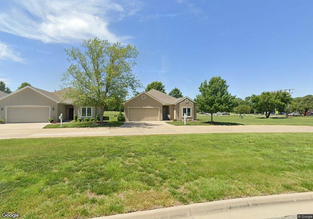
4501 SW Crenshaw Dr Topeka, KS 66610
Estimated Value: $267,996 - $344,000
3
Beds
2
Baths
1,521
Sq Ft
$204/Sq Ft
Est. Value
About This Home
This home is located at 4501 SW Crenshaw Dr, Topeka, KS 66610 and is currently estimated at $309,749, approximately $203 per square foot. 4501 SW Crenshaw Dr is a home located in Shawnee County with nearby schools including Pauline Central Primary School, Pauline South Intermediate School, and Washburn Rural Middle School.
Ownership History
Date
Name
Owned For
Owner Type
Purchase Details
Closed on
Aug 6, 2020
Sold by
Long Theodore D and Long Colleen
Bought by
Holden Hrold G and Holden Linda F
Current Estimated Value
Home Financials for this Owner
Home Financials are based on the most recent Mortgage that was taken out on this home.
Original Mortgage
$110,000
Outstanding Balance
$97,138
Interest Rate
3%
Mortgage Type
New Conventional
Estimated Equity
$212,611
Create a Home Valuation Report for This Property
The Home Valuation Report is an in-depth analysis detailing your home's value as well as a comparison with similar homes in the area
Home Values in the Area
Average Home Value in this Area
Purchase History
| Date | Buyer | Sale Price | Title Company |
|---|---|---|---|
| Holden Hrold G | -- | Kansas Secured Ttl Inc Topek |
Source: Public Records
Mortgage History
| Date | Status | Borrower | Loan Amount |
|---|---|---|---|
| Open | Holden Hrold G | $110,000 |
Source: Public Records
Tax History Compared to Growth
Tax History
| Year | Tax Paid | Tax Assessment Tax Assessment Total Assessment is a certain percentage of the fair market value that is determined by local assessors to be the total taxable value of land and additions on the property. | Land | Improvement |
|---|---|---|---|---|
| 2025 | $4,564 | $30,130 | -- | -- |
| 2023 | $4,564 | $28,679 | $0 | $0 |
| 2022 | $4,138 | $25,837 | $0 | $0 |
| 2021 | $3,683 | $23,069 | $0 | $0 |
| 2020 | $3,360 | $21,474 | $0 | $0 |
| 2019 | $3,265 | $20,848 | $0 | $0 |
| 2018 | $3,160 | $20,241 | $0 | $0 |
| 2017 | $3,134 | $19,844 | $0 | $0 |
| 2014 | $3,171 | $19,844 | $0 | $0 |
Source: Public Records
Map
Nearby Homes
- 4419 SW Stone Ave
- 4329 SW Cambridge Ave
- 4313 SW Stone Ave
- 4229 SW Cambridge Ave
- 3313 SW 46th St
- 3334 SW 43rd St
- 4406 SW Lakeside Dr
- 4334 SW Lakeside Dr
- 3817 SW Wood Valley Dr
- 3724 SW Brook Lawn Cir
- 3746 SW Wood Valley Dr
- 3903 SW Burlingame Rd
- 4498 SW Moundview Dr
- XXXX SW Moundview Dr
- 3638 SW Willow Brook Ct
- 3572 SW Willow Brook Dr
- 3751 SW Summerfield Dr
- 3513 SW Moundview Dr
- 2920 SW Twilight Dr
- 3600 SW Randolph Square Unit 40
- 4505 SW Crenshaw Dr
- 4507 SW Crenshaw Dr
- 4511 SW Crenshaw Dr
- 4515 SW Crenshaw Dr
- 4500 SW Woods Dr
- 4519 SW Crenshaw Dr
- 4440 SW Stone Ave
- 4523 SW Crenshaw Dr
- 3613 SW Watson Ct
- 4503 SW Woods Dr
- 3611 SW Watson Ct
- 4504 SW Woods Dr
- 4527 SW Crenshaw Dr
- 4424 SW Stone Ave
- 4508 SW Woods Dr
- 3610 SW Watson Ct
- 4435A SW Stone Ave
- 4531 SW Crenshaw Dr
- 4531 SW Crenshaw Dr
- 4507 SW Woods Dr