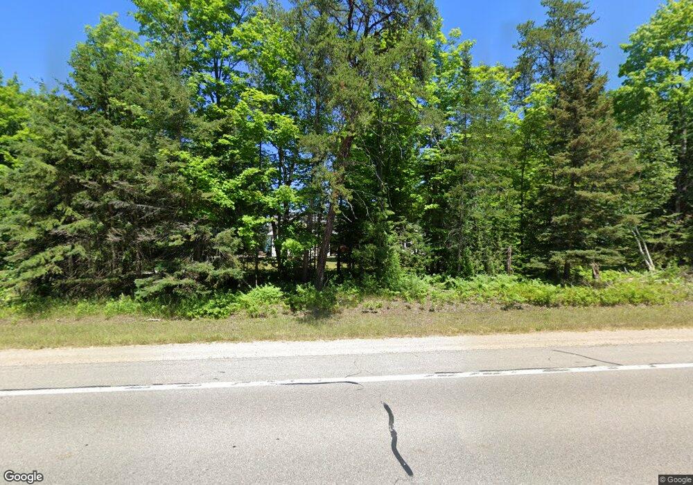
4502 B Us 23 Cheboygan, MI 49721
Estimated Value: $542,000 - $887,000
Studio
1
Bath
2,235
Sq Ft
$299/Sq Ft
Est. Value
About This Home
This home is located at 4502 B Us 23, Cheboygan, MI 49721 and is currently estimated at $669,379, approximately $299 per square foot. 4502 B Us 23 is a home located in Cheboygan County with nearby schools including East Elementary School, Cheboygan Intermediate School, and Cheboygan Area High School.
Ownership History
Date
Name
Owned For
Owner Type
Purchase Details
Closed on
Jul 1, 2009
Sold by
Isaia Thomas S
Bought by
Isaia, Thomas S, Trustee
Current Estimated Value
Purchase Details
Closed on
Jun 30, 2009
Bought by
Isaia Thomas S
Purchase Details
Closed on
Oct 31, 2008
Sold by
Whitman William
Bought by
Isaia, Thomas S, Trustee
Purchase Details
Closed on
Oct 15, 2004
Bought by
Whitman, William & Alvida, Trustees
Create a Home Valuation Report for This Property
The Home Valuation Report is an in-depth analysis detailing your home's value as well as a comparison with similar homes in the area
Purchase History
| Date | Buyer | Sale Price | Title Company |
|---|---|---|---|
| Isaia, Thomas S, Trustee | -- | -- | |
| Isaia Thomas S | -- | -- | |
| Isaia, Thomas S, Trustee | $300,000 | -- | |
| Whitman, William & Alvida, Trustees | $149,000 | -- |
Source: Public Records
Tax History Compared to Growth
Tax History
| Year | Tax Paid | Tax Assessment Tax Assessment Total Assessment is a certain percentage of the fair market value that is determined by local assessors to be the total taxable value of land and additions on the property. | Land | Improvement |
|---|---|---|---|---|
| 2025 | $7,261 | $245,300 | $0 | $0 |
| 2024 | $5,586 | $254,300 | $0 | $0 |
| 2023 | $5,334 | $241,100 | $0 | $0 |
| 2022 | $5,119 | $194,100 | $0 | $0 |
| 2021 | $6,400 | $151,100 | $151,100 | $0 |
| 2020 | $6,479 | $154,400 | $154,400 | $0 |
| 2019 | $6,021 | $150,200 | $150,200 | $0 |
| 2018 | $6,008 | $149,000 | $0 | $0 |
| 2017 | $5,751 | $151,400 | $0 | $0 |
| 2016 | $5,691 | $148,900 | $0 | $0 |
| 2015 | -- | $145,400 | $0 | $0 |
| 2014 | -- | $140,900 | $0 | $0 |
| 2012 | -- | $135,600 | $0 | $0 |
Source: Public Records
Map
Nearby Homes
- 72 Boat Club Dr
- 27 Boat Club Dr
- 115 Boat Club Dr
- 138 Boat Club Dr
- 162 Boat Club Dr
- 23 Boat Club Dr
- 1228 Lofgren Shores Dr
- 1226 Lofgren Shores Dr
- 2900 N Lofgren Shores Dr
- V/L 55-+AC E State St
- 545 Duncan Ave
- 260 Duncan Ave
- 209 Duncan Ave
- 208 Duncan Ave
- W1/2 Lot 1 U S 23
- Lot 9 U S 23
- Lot 14 U S 23
- 214 E State St
- 106 S B St
- 419 Obrien Dr
- Us 23
- 2826 Us 23
- 6066 Us 23
- 13079 Us 23 Unit 1.23 Acres
- 12605 Us 23
- 6066 Us 23 Unit 2.94 ACRES
- 168, 169 Us 23
- 5730 Us 23
- 12765 Abrahamson Rd
- 12693 Abrahamson Rd
- 12693 Abrahamson Rd Unit 12649, 12671
- 12671 Abrahamson Rd
- 12779 Abrahamson Rd
- 12630 Butler Rd
- 3189 E Us Highway 23
- 12674 Butler Rd
- 3083 E Us Highway 23
- 12748 Butler Rd
- 12649 Abrahamson Rd
- 3159 Us 23
