4502 Carter Way Valdosta, GA 31601
Estimated Value: $187,000 - $415,000
--
Bed
2
Baths
2,239
Sq Ft
$142/Sq Ft
Est. Value
About This Home
This home is located at 4502 Carter Way, Valdosta, GA 31601 and is currently estimated at $317,074, approximately $141 per square foot. 4502 Carter Way is a home located in Lowndes County with nearby schools including Westside Elementary School, Lowndes Middle School, and Lowndes High School.
Ownership History
Date
Name
Owned For
Owner Type
Purchase Details
Closed on
Apr 8, 2005
Sold by
Prairie Michael
Bought by
Taylor Leon F
Current Estimated Value
Home Financials for this Owner
Home Financials are based on the most recent Mortgage that was taken out on this home.
Original Mortgage
$92,000
Outstanding Balance
$47,507
Interest Rate
5.79%
Mortgage Type
New Conventional
Estimated Equity
$269,567
Purchase Details
Closed on
Jul 19, 1995
Bought by
Prairie Michael
Create a Home Valuation Report for This Property
The Home Valuation Report is an in-depth analysis detailing your home's value as well as a comparison with similar homes in the area
Home Values in the Area
Average Home Value in this Area
Purchase History
| Date | Buyer | Sale Price | Title Company |
|---|---|---|---|
| Taylor Leon F | $175,000 | -- | |
| Prairie Michael | $9,500 | -- |
Source: Public Records
Mortgage History
| Date | Status | Borrower | Loan Amount |
|---|---|---|---|
| Open | Taylor Leon F | $92,000 |
Source: Public Records
Tax History Compared to Growth
Tax History
| Year | Tax Paid | Tax Assessment Tax Assessment Total Assessment is a certain percentage of the fair market value that is determined by local assessors to be the total taxable value of land and additions on the property. | Land | Improvement |
|---|---|---|---|---|
| 2024 | $1,759 | $82,503 | $7,802 | $74,701 |
| 2023 | $1,825 | $81,992 | $7,291 | $74,701 |
| 2022 | $1,516 | $60,373 | $7,291 | $53,082 |
| 2021 | $1,583 | $60,373 | $7,291 | $53,082 |
| 2020 | $1,470 | $60,373 | $7,291 | $53,082 |
| 2019 | $1,486 | $60,373 | $7,291 | $53,082 |
| 2018 | $1,501 | $60,373 | $7,291 | $53,082 |
| 2017 | $1,526 | $60,373 | $7,291 | $53,082 |
| 2016 | $1,530 | $60,373 | $7,291 | $53,082 |
| 2015 | $1,466 | $60,373 | $7,291 | $53,082 |
| 2014 | $1,508 | $60,798 | $7,716 | $53,082 |
Source: Public Records
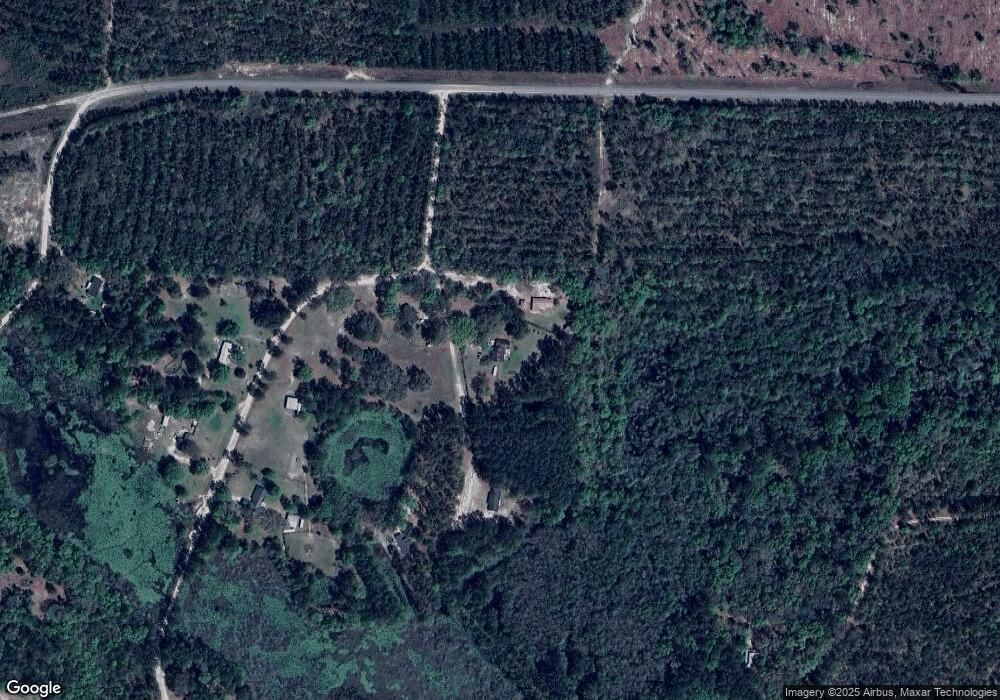
Map
Nearby Homes
- 5079 Madalyn Way
- 4310 Old Quitman Hwy
- 4082 Prairie Trail
- 4010 Morning Dove Dr
- 3652 Bear Lake Rd
- 3788 Timber Ridge Rd
- 3902 Bear Hollow
- 3897 Bear Hollow
- 3883 Bear Hollow
- 3823 Timber Ridge Rd
- 3860 Kinderlou Forest
- 3924 Timber Ridge Rd
- 4032 Cane Mill Cir
- 4045 Island Creek Rd
- 3904 Timber Ridge Rd
- 4116 Eileen Ct
- 3906 Loblolly Ln
- 3902 Island Creek Rd
- 4073 Quail Run Cir
- 61 Trail of Hawk Rd
- 4443 Carter Way
- 5080 Madalyn Way
- 4417 Carter Way
- 5084 Madalyn Way
- 5089 Madalyn Way
- 5076 Madalyn Way
- 5093 Madalyn Way
- 5072 Madalyn Way
- 5073 Madalyn Way
- 5085 Madalyn Way
- 4490 Carter Way
- 5088 Madalyn Way
- 4431 Carter Way
- 4489 Carter Way
- 4424 Carter Way
- 8523 Ousley Rd
- 4541 Martin Ln
- 4613 Martin Ln
- 4597 Martin Ln
- 4440 Carter Way