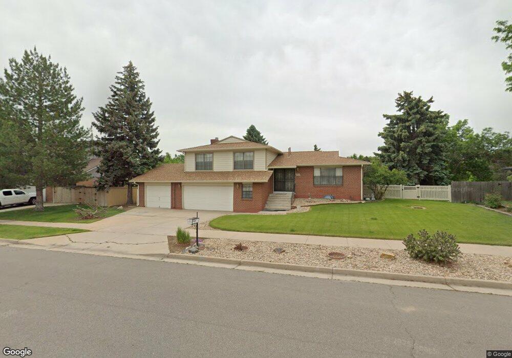
4502 W Union Ave Denver, CO 80236
Fort Logan NeighborhoodEstimated Value: $685,000 - $730,000
3
Beds
3
Baths
1,484
Sq Ft
$470/Sq Ft
Est. Value
About This Home
This home is located at 4502 W Union Ave, Denver, CO 80236 and is currently estimated at $697,033, approximately $469 per square foot. 4502 W Union Ave is a home located in Denver County with nearby schools including Kaiser Elementary School, Bear Valley International School, and John F Kennedy High School.
Ownership History
Date
Name
Owned For
Owner Type
Purchase Details
Closed on
Mar 28, 2016
Sold by
Lucero Amit T and Lucero Emma C
Bought by
Lucero Emma C
Current Estimated Value
Purchase Details
Closed on
Sep 30, 2003
Sold by
Walter L & Nadine Black Family Trust
Bought by
Lucero Amit T and Lucero Emma C
Home Financials for this Owner
Home Financials are based on the most recent Mortgage that was taken out on this home.
Original Mortgage
$205,000
Interest Rate
6.25%
Mortgage Type
Purchase Money Mortgage
Purchase Details
Closed on
Jan 24, 2003
Sold by
Pope Alex C
Bought by
Walter L & Nadine Black Family Trust
Create a Home Valuation Report for This Property
The Home Valuation Report is an in-depth analysis detailing your home's value as well as a comparison with similar homes in the area
Home Values in the Area
Average Home Value in this Area
Purchase History
| Date | Buyer | Sale Price | Title Company |
|---|---|---|---|
| Lucero Emma C | -- | None Available | |
| Lucero Amit T | $269,000 | First American Heritage Titl | |
| Walter L & Nadine Black Family Trust | $215,000 | First American Heritage Titl |
Source: Public Records
Mortgage History
| Date | Status | Borrower | Loan Amount |
|---|---|---|---|
| Closed | Lucero Amit T | $205,000 |
Source: Public Records
Tax History Compared to Growth
Tax History
| Year | Tax Paid | Tax Assessment Tax Assessment Total Assessment is a certain percentage of the fair market value that is determined by local assessors to be the total taxable value of land and additions on the property. | Land | Improvement |
|---|---|---|---|---|
| 2024 | $2,923 | $43,600 | $4,720 | $38,880 |
| 2023 | $2,859 | $43,600 | $4,720 | $38,880 |
| 2022 | $2,347 | $36,460 | $8,720 | $27,740 |
| 2021 | $2,265 | $37,510 | $8,970 | $28,540 |
| 2020 | $1,937 | $33,260 | $8,150 | $25,110 |
| 2019 | $1,883 | $33,260 | $8,150 | $25,110 |
| 2018 | $1,608 | $27,980 | $7,390 | $20,590 |
| 2017 | $1,603 | $27,980 | $7,390 | $20,590 |
| 2016 | $1,478 | $26,090 | $8,167 | $17,923 |
| 2015 | $1,416 | $26,090 | $8,167 | $17,923 |
| 2014 | $1,701 | $20,480 | $3,980 | $16,500 |
Source: Public Records
Map
Nearby Homes
- 4645 W Temple Place
- 4665 S Raleigh St
- 4201 W Tufts Ave
- 4720 W Stanford Ave
- 4621 S Perry Way
- 4155 W Stanford Ave
- 4474 S Vrain St
- 3963 W Temple Place
- 4244 W Monmouth Ave
- 4636 S Yates St
- 4090 W Wagon Trail Dr
- 4415 S Tennyson St
- 4700 S Sheridan Blvd
- 3999 W Chenango Ave
- 5095 S Osceola St
- 5300 Yellowstone St Unit 9
- 5300 Yellowstone St
- 3928 W Chenango Ave
- 3742 W Union Ave
- 4095 W Radcliff Ave
- 4462 W Union Ave
- 4532 W Union Ave
- 4501 W Union Ave
- 4521 W Union Ave
- 4511 W Wagon Trail Rd
- 4562 W Union Ave
- 4511 W Wagontrail Rd
- 4402 W Union Ave
- 4541 W Union Ave
- 4461 W Union Ave
- 4505 W Wagontrail Rd
- 4561 W Union Ave
- 4555 W Wagon Trail Rd
- 4555 W Wagontrail Rd
- 4681 S Utica St
- 4401 W Union Ave
- 4352 W Union Ave
- 4581 W Union Ave
- 4680 S Utica St
- 4592 W Union Ave