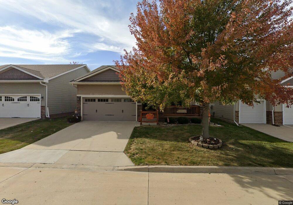
4506 132nd St Urbandale, IA 50323
Estimated Value: $314,790 - $366,000
3
Beds
2
Baths
1,437
Sq Ft
$243/Sq Ft
Est. Value
About This Home
This home is located at 4506 132nd St, Urbandale, IA 50323 and is currently estimated at $348,948, approximately $242 per square foot. 4506 132nd St is a home located in Polk County with nearby schools including Des Moines Christian Schools.
Ownership History
Date
Name
Owned For
Owner Type
Purchase Details
Closed on
Aug 23, 2011
Sold by
Days Run West Villas Llc
Bought by
Hutson Richard K and Hutson Deborah C
Current Estimated Value
Home Financials for this Owner
Home Financials are based on the most recent Mortgage that was taken out on this home.
Original Mortgage
$163,500
Outstanding Balance
$113,100
Interest Rate
4.55%
Mortgage Type
New Conventional
Estimated Equity
$235,848
Create a Home Valuation Report for This Property
The Home Valuation Report is an in-depth analysis detailing your home's value as well as a comparison with similar homes in the area
Home Values in the Area
Average Home Value in this Area
Purchase History
| Date | Buyer | Sale Price | Title Company |
|---|---|---|---|
| Hutson Richard K | $204,000 | None Available |
Source: Public Records
Mortgage History
| Date | Status | Borrower | Loan Amount |
|---|---|---|---|
| Open | Hutson Richard K | $163,500 |
Source: Public Records
Tax History Compared to Growth
Tax History
| Year | Tax Paid | Tax Assessment Tax Assessment Total Assessment is a certain percentage of the fair market value that is determined by local assessors to be the total taxable value of land and additions on the property. | Land | Improvement |
|---|---|---|---|---|
| 2025 | $4,508 | $307,600 | $46,900 | $260,700 |
| 2024 | $4,508 | $276,400 | $41,500 | $234,900 |
| 2023 | $4,668 | $276,400 | $41,500 | $234,900 |
| 2022 | $4,612 | $231,000 | $36,200 | $194,800 |
| 2021 | $4,686 | $231,000 | $36,200 | $194,800 |
| 2020 | $4,606 | $222,700 | $36,900 | $185,800 |
| 2019 | $4,650 | $222,700 | $36,900 | $185,800 |
| 2018 | $4,492 | $211,700 | $36,900 | $174,800 |
| 2017 | $4,314 | $211,700 | $36,900 | $174,800 |
| 2016 | $4,208 | $199,900 | $37,300 | $162,600 |
| 2015 | $4,208 | $199,900 | $37,300 | $162,600 |
| 2014 | $3,878 | $190,500 | $39,300 | $151,200 |
Source: Public Records
Map
Nearby Homes
- 13114 Iltis Dr
- 4309 129th St
- 12912 Hammontree Dr
- 4412 125th St
- 4111 140th St
- 12335 Tanglewood Dr
- 4016 127th St
- 12510 Prairie Dr
- 12527 Airline Ave
- 12515 Airline Ave
- 4523 143rd St
- 4143 122nd St
- 12723 Sunflower Dr
- 4602 143rd St
- 14308 Hickory Dr
- 15217 Springbrook Trail
- 15015 Springbrook Trail
- 15019 Springbrook Trail
- 14509 Persimmon Dr
- 14627 Persimmon Dr
- 4502 132nd St
- 4510 132nd St
- 4424 132nd St
- 13119 Alpine Dr
- 4514 132nd St
- 4420 132nd St
- 13115 Alpine Dr
- 4518 132nd St
- 13118 Iltis Dr
- 13116 Alpine Dr
- 4416 132nd St
- 13112 Alpine Dr
- 13109 Alpine Dr
- 4412 132nd St
- 13110 Iltis Dr
- 13108 Alpine Dr
- 13119 Greenbelt Dr
- 13105 Alpine Dr
- 4408 132nd St
- 13106 Iltis Dr