4507 Allen Rd Randallstown, MD 21133
Estimated Value: $376,000 - $457,000
4
Beds
2
Baths
1,764
Sq Ft
$241/Sq Ft
Est. Value
About This Home
This home is located at 4507 Allen Rd, Randallstown, MD 21133 and is currently estimated at $425,826, approximately $241 per square foot. 4507 Allen Rd is a home located in Baltimore County with nearby schools including New Town Elementary School, Deer Park Middle Magnet School, and New Town High.
Ownership History
Date
Name
Owned For
Owner Type
Purchase Details
Closed on
Jan 24, 2006
Sold by
Loper Lawrence G
Bought by
Bober Craig M and Burgan Rachel G
Current Estimated Value
Home Financials for this Owner
Home Financials are based on the most recent Mortgage that was taken out on this home.
Original Mortgage
$332,500
Outstanding Balance
$188,733
Interest Rate
6.34%
Mortgage Type
Purchase Money Mortgage
Estimated Equity
$237,093
Purchase Details
Closed on
Nov 30, 2005
Sold by
Loper Lawrence G
Bought by
Bober Craig M and Burgan Rachel G
Home Financials for this Owner
Home Financials are based on the most recent Mortgage that was taken out on this home.
Original Mortgage
$332,500
Outstanding Balance
$188,733
Interest Rate
6.34%
Mortgage Type
Purchase Money Mortgage
Estimated Equity
$237,093
Purchase Details
Closed on
Oct 31, 1958
Sold by
White William W and White Gloria
Bought by
Loper Lawrence G
Create a Home Valuation Report for This Property
The Home Valuation Report is an in-depth analysis detailing your home's value as well as a comparison with similar homes in the area
Home Values in the Area
Average Home Value in this Area
Purchase History
| Date | Buyer | Sale Price | Title Company |
|---|---|---|---|
| Bober Craig M | $350,000 | -- | |
| Bober Craig M | $350,000 | -- | |
| Loper Lawrence G | $16,500 | -- |
Source: Public Records
Mortgage History
| Date | Status | Borrower | Loan Amount |
|---|---|---|---|
| Open | Bober Craig M | $332,500 | |
| Previous Owner | Bober Craig M | $332,500 |
Source: Public Records
Tax History Compared to Growth
Tax History
| Year | Tax Paid | Tax Assessment Tax Assessment Total Assessment is a certain percentage of the fair market value that is determined by local assessors to be the total taxable value of land and additions on the property. | Land | Improvement |
|---|---|---|---|---|
| 2025 | $3,501 | $311,300 | -- | -- |
| 2024 | $3,501 | $286,500 | $100,900 | $185,600 |
| 2023 | $3,499 | $283,733 | $0 | $0 |
| 2022 | $3,434 | $280,967 | $0 | $0 |
| 2021 | $3,390 | $278,200 | $100,900 | $177,300 |
| 2020 | $3,390 | $274,733 | $0 | $0 |
| 2019 | $3,348 | $271,267 | $0 | $0 |
| 2018 | $3,306 | $267,800 | $100,900 | $166,900 |
| 2017 | $3,176 | $259,433 | $0 | $0 |
| 2016 | $3,346 | $251,067 | $0 | $0 |
| 2015 | $3,346 | $242,700 | $0 | $0 |
| 2014 | $3,346 | $242,700 | $0 | $0 |
Source: Public Records
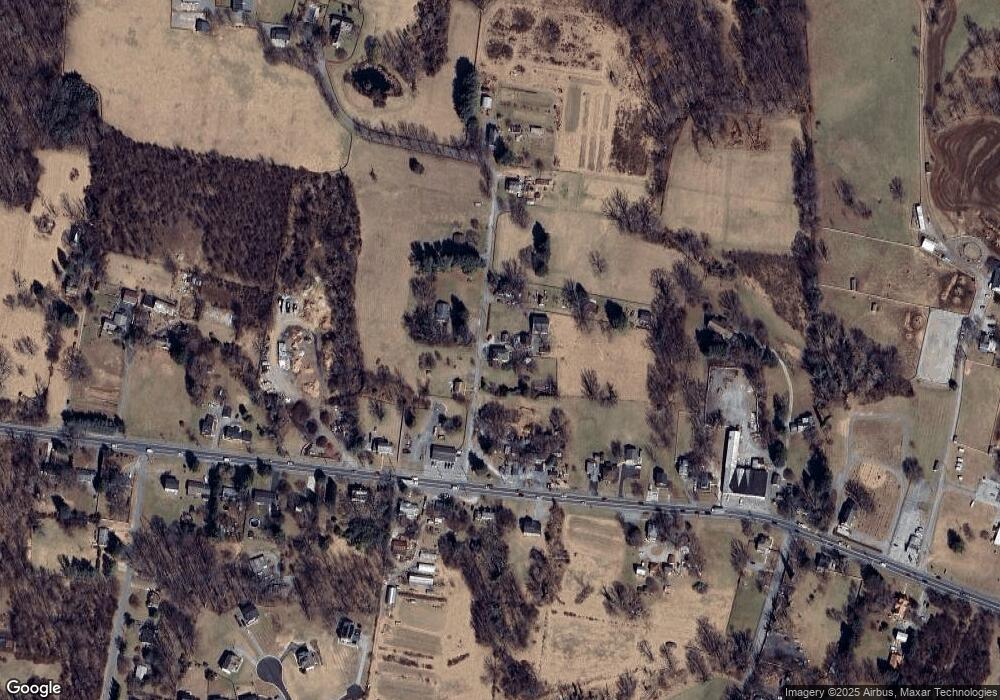
Map
Nearby Homes
- 10702 Liberty Rd
- 11120 Liberty Rd
- 4107 Holbrook Rd
- 4133 Holbrook Rd
- 4129 Holbrook Rd
- 5010 Wards Chapel Rd
- 0 Deer Park Rd
- 10520 Marriottsville Rd
- 4264 Cayuga Rd
- 3904 Wards Chapel Rd
- 9 Bannock Ct
- 30 Sheraton Rd
- 3618 Granite Rd
- 9931 Tuscarora Rd
- 11 Hunters Forge Ct
- 3827 Rayton Rd
- 3803 Marriottsville Rd
- 4701 Wainwright Cir
- 11 Bank Spring Ct
- 9804 Marriottsville Rd
- 4513 Allen Rd
- 4510 Allen Rd
- 10746 Liberty Rd
- 10800 Liberty Rd
- 10806 Liberty Rd
- 4516 Allen Rd
- 10808 Liberty Rd
- 10726 Liberty Rd
- 10724 Liberty Rd
- 10743 Liberty Rd
- 10739 Liberty Rd
- 4525 Allen Rd
- 10807 Liberty Rd
- 10714 Liberty Rd
- 4527 Allen Rd
- 10646 Liberty Rd
- 10715 Liberty Rd
- 10819 Liberty Rd
- 10711 Liberty Rd
- 10828 Liberty Rd