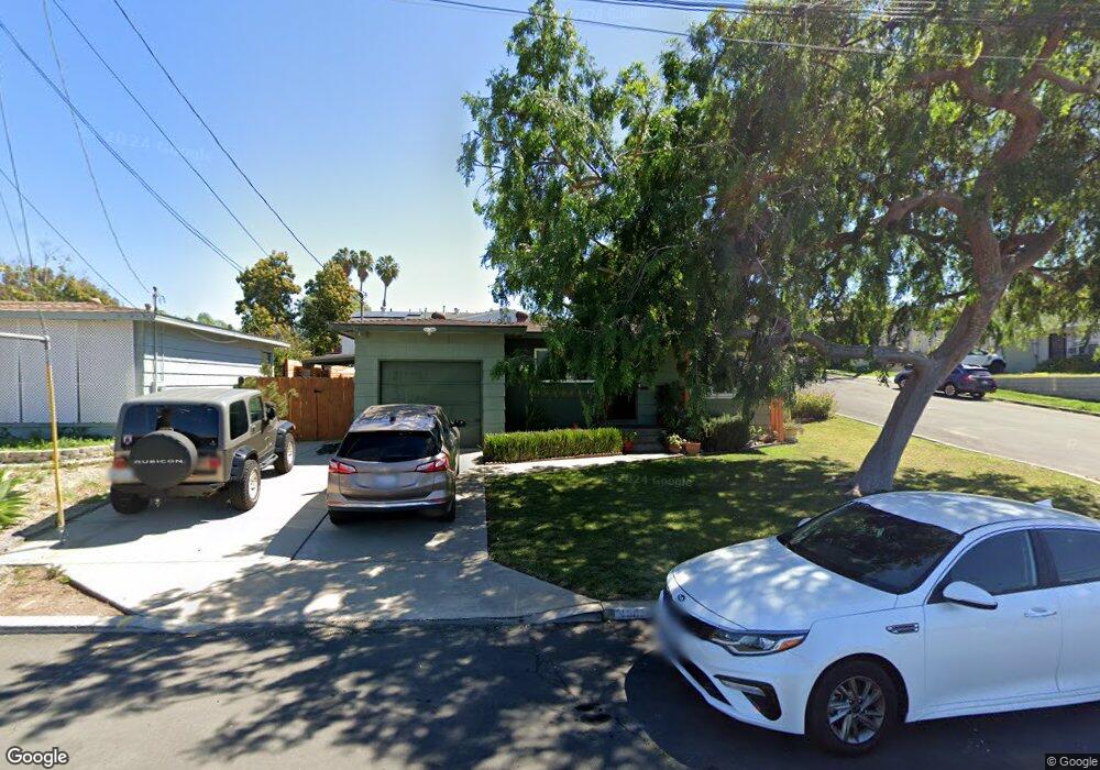
4507 Terry Ln La Mesa, CA 91942
Estimated Value: $662,636 - $728,000
2
Beds
1
Bath
801
Sq Ft
$886/Sq Ft
Est. Value
About This Home
This home is located at 4507 Terry Ln, La Mesa, CA 91942 and is currently estimated at $709,659, approximately $885 per square foot. 4507 Terry Ln is a home located in San Diego County with nearby schools including Rolando Elementary School, La Mesa Arts Academy, and Orange Grove Middle School.
Ownership History
Date
Name
Owned For
Owner Type
Purchase Details
Closed on
Sep 26, 2016
Sold by
Lent Yolanda M and Lent Eric B
Bought by
Lent Eric Berkeley and Lent Yolanda Mercy
Current Estimated Value
Purchase Details
Closed on
Aug 17, 2006
Sold by
Lent Yolanda M and Lent Eric B
Bought by
Lent Eric B and Lent Yolanda M
Home Financials for this Owner
Home Financials are based on the most recent Mortgage that was taken out on this home.
Original Mortgage
$60,000
Interest Rate
6.76%
Mortgage Type
Stand Alone Refi Refinance Of Original Loan
Create a Home Valuation Report for This Property
The Home Valuation Report is an in-depth analysis detailing your home's value as well as a comparison with similar homes in the area
Home Values in the Area
Average Home Value in this Area
Purchase History
| Date | Buyer | Sale Price | Title Company |
|---|---|---|---|
| Lent Eric Berkeley | -- | None Available | |
| Lent Eric B | -- | Alliance Title Company |
Source: Public Records
Mortgage History
| Date | Status | Borrower | Loan Amount |
|---|---|---|---|
| Closed | Lent Eric B | $60,000 |
Source: Public Records
Tax History Compared to Growth
Tax History
| Year | Tax Paid | Tax Assessment Tax Assessment Total Assessment is a certain percentage of the fair market value that is determined by local assessors to be the total taxable value of land and additions on the property. | Land | Improvement |
|---|---|---|---|---|
| 2025 | $1,070 | $51,450 | $24,454 | $26,996 |
| 2024 | $1,070 | $50,442 | $23,975 | $26,467 |
| 2023 | $1,060 | $49,454 | $23,505 | $25,949 |
| 2022 | $1,055 | $48,486 | $23,045 | $25,441 |
| 2021 | $1,044 | $47,537 | $22,594 | $24,943 |
| 2020 | $1,060 | $47,051 | $22,363 | $24,688 |
| 2019 | $1,066 | $46,129 | $21,925 | $24,204 |
| 2018 | $1,086 | $45,226 | $21,496 | $23,730 |
| 2017 | $1,092 | $44,340 | $21,075 | $23,265 |
| 2016 | $1,097 | $43,471 | $20,662 | $22,809 |
| 2015 | $1,094 | $42,819 | $20,352 | $22,467 |
| 2014 | $1,078 | $41,981 | $19,954 | $22,027 |
Source: Public Records
Map
Nearby Homes
- 6784 Alamo Way
- 4421 68th St
- 4580 71st St
- 7118 Stanford Ave
- 6752 Solita Ave
- 7175 Stanford Ave
- 4361 Alamo Dr
- 6738 University Ave
- 6720 University Ave
- 4245 69th St
- 4330 Alamo Dr
- 4227 69th St
- 6891 Eberhart St
- 4672 Rolando Blvd
- 4844 68th St Unit 14
- 6826 Missy Ct
- 6927 Amherst St Unit 8
- 6927 Amherst St Unit 3
- 6979-81 Amherst St
- 6735 Amherst St Unit 1E