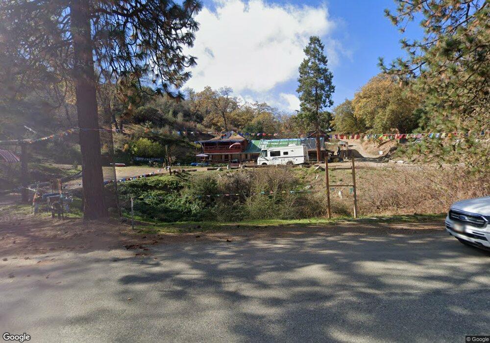
45078 E Kings Canyon Rd Dunlap, CA 93621
Estimated Value: $389,000 - $555,000
3
Beds
2
Baths
2,256
Sq Ft
$218/Sq Ft
Est. Value
About This Home
This home is located at 45078 E Kings Canyon Rd, Dunlap, CA 93621 and is currently estimated at $491,421, approximately $217 per square foot. 45078 E Kings Canyon Rd is a home located in Fresno County with nearby schools including Dunlap Elementary School and Reedley High School.
Ownership History
Date
Name
Owned For
Owner Type
Purchase Details
Closed on
Dec 15, 2004
Sold by
Saunders Michael D and Saunders Jean H
Bought by
Saunders Michael D and Saunders Jean H
Current Estimated Value
Purchase Details
Closed on
Dec 3, 1996
Sold by
Dale Saunders Michael and Dale Michael D
Bought by
Saunders Michael D and Saunders Jean H
Home Financials for this Owner
Home Financials are based on the most recent Mortgage that was taken out on this home.
Original Mortgage
$90,000
Interest Rate
7.67%
Create a Home Valuation Report for This Property
The Home Valuation Report is an in-depth analysis detailing your home's value as well as a comparison with similar homes in the area
Home Values in the Area
Average Home Value in this Area
Purchase History
| Date | Buyer | Sale Price | Title Company |
|---|---|---|---|
| Saunders Michael D | -- | -- | |
| Saunders Michael D | -- | North American Title |
Source: Public Records
Mortgage History
| Date | Status | Borrower | Loan Amount |
|---|---|---|---|
| Closed | Saunders Michael D | $90,000 |
Source: Public Records
Tax History Compared to Growth
Tax History
| Year | Tax Paid | Tax Assessment Tax Assessment Total Assessment is a certain percentage of the fair market value that is determined by local assessors to be the total taxable value of land and additions on the property. | Land | Improvement |
|---|---|---|---|---|
| 2025 | $2,400 | $213,644 | $64,143 | $149,501 |
| 2023 | $2,346 | $205,350 | $61,653 | $143,697 |
| 2022 | $2,335 | $201,325 | $60,445 | $140,880 |
| 2021 | $2,296 | $197,378 | $59,260 | $138,118 |
| 2020 | $2,302 | $195,355 | $58,653 | $136,702 |
| 2019 | $2,251 | $191,525 | $57,503 | $134,022 |
| 2018 | $2,231 | $187,771 | $56,376 | $131,395 |
| 2017 | $2,138 | $184,090 | $55,271 | $128,819 |
| 2016 | $2,159 | $180,482 | $54,188 | $126,294 |
| 2015 | $2,098 | $177,772 | $53,375 | $124,397 |
| 2014 | $2,079 | $174,291 | $52,330 | $121,961 |
Source: Public Records
Map
Nearby Homes
- 37041 Dunlap Rd
- 44981 Todd Eymann Rd
- 46149 Todd Eymann Rd
- 37799 Barberry Ln
- 38168 Barberry Ln
- 8 Acres
- 43520 Brookside Rd
- 15 Acres
- 37985 Waxberry Ln
- 0 High Oaks Ln Unit FR25247411
- 0 High Oaks Ln Unit 639063
- 0 High Oaks Ln Unit 238041
- 0 High Oaks Ln Unit 622880
- 44001 Dunlap Rd
- 50890 Rosemary Ln
- 0 Apn 190-130-09s Unit 633537
- 0 Apn 190-130-09s Unit 236264
- 0 Apn 190-130-09s Unit FR25155266
- 735 Bearclover Ln
- 50806 Bramble Ln