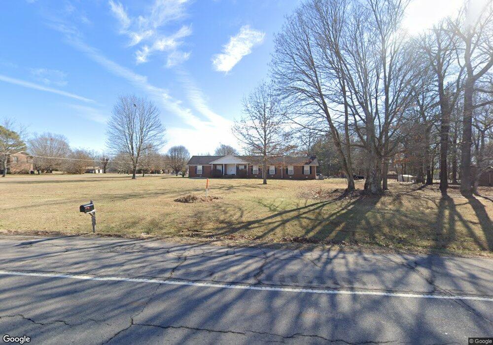
4508 Highway 31 W Cottontown, TN 37048
Estimated Value: $446,000 - $502,000
--
Bed
2
Baths
2,520
Sq Ft
$188/Sq Ft
Est. Value
About This Home
This home is located at 4508 Highway 31 W, Cottontown, TN 37048 and is currently estimated at $473,290, approximately $187 per square foot. 4508 Highway 31 W is a home located in Sumner County with nearby schools including Portland Gateview Elementary School, Portland West Middle School, and Portland High School.
Ownership History
Date
Name
Owned For
Owner Type
Purchase Details
Closed on
Aug 11, 2025
Sold by
Harlow Lois E
Bought by
Revocable Trust Agreement Of Lois E Harlow and Harlow
Current Estimated Value
Purchase Details
Closed on
May 23, 2013
Sold by
Evans Joseph W and Freedle Amanda Evans
Bought by
Harlow Lois E
Home Financials for this Owner
Home Financials are based on the most recent Mortgage that was taken out on this home.
Original Mortgage
$132,000
Interest Rate
3.43%
Mortgage Type
New Conventional
Create a Home Valuation Report for This Property
The Home Valuation Report is an in-depth analysis detailing your home's value as well as a comparison with similar homes in the area
Home Values in the Area
Average Home Value in this Area
Purchase History
| Date | Buyer | Sale Price | Title Company |
|---|---|---|---|
| Revocable Trust Agreement Of Lois E Harlow | -- | None Listed On Document | |
| Revocable Trust Agreement Of Lois E Harlow | -- | None Listed On Document | |
| Harlow Lois E | $165,000 | Cbc Title & Escrow |
Source: Public Records
Mortgage History
| Date | Status | Borrower | Loan Amount |
|---|---|---|---|
| Previous Owner | Harlow Lois E | $132,000 |
Source: Public Records
Tax History Compared to Growth
Tax History
| Year | Tax Paid | Tax Assessment Tax Assessment Total Assessment is a certain percentage of the fair market value that is determined by local assessors to be the total taxable value of land and additions on the property. | Land | Improvement |
|---|---|---|---|---|
| 2024 | $1,524 | $107,225 | $26,700 | $80,525 |
| 2023 | $1,392 | $61,825 | $18,725 | $43,100 |
| 2022 | $1,398 | $61,825 | $18,725 | $43,100 |
| 2021 | $1,398 | $61,825 | $18,725 | $43,100 |
| 2020 | $1,398 | $61,825 | $18,725 | $43,100 |
| 2019 | $1,398 | $0 | $0 | $0 |
| 2018 | $1,076 | $0 | $0 | $0 |
| 2017 | $1,076 | $0 | $0 | $0 |
| 2016 | $1,076 | $0 | $0 | $0 |
| 2015 | -- | $0 | $0 | $0 |
| 2014 | -- | $0 | $0 | $0 |
Source: Public Records
Map
Nearby Homes
- 4606 Highway 31 W
- 116 Bradley Ln
- 4628 Hwy 31w
- 320 Spring Valley Dr
- 4648 Highway 31 W
- 357 Raymond Hodges Rd
- 358 Spring Valley Dr
- 1044 Washington Dr
- 4706 Rock House Rd
- 0 Highway 25 Unit RTC3014627
- 0 Highway 25 Unit RTC3033551
- 1040 Washington Dr
- 4832 Hwy 31w
- 8338 Guthrie Rd
- 1031 Kennedy Ln
- 4675 Wills Rd
- 1003 Roland Ct
- 8409 Village Green Dr
- 8288 Guthrie Rd
- 8481 Highway 25 E
- 4506 Highway 31 W
- 4602 Highway 31 W
- 114 Raymond Hodges Rd
- 115 Raymond Hodges Rd
- 103 Spring Valley Dr
- 118 Raymond Hodges Rd
- 111 Spring Valley Dr
- 119 Raymond Hodges Rd
- 8663 Guthrie Ct
- 102 Spring Valley Dr
- 0 Highway 31 Unit RTC2366077
- 136 Raymond Hodges Rd
- 4608 Hwy 31w
- 110 Spring Valley Dr
- 115 Spring Valley Dr
- 135 Raymond Hodges Rd
- 8651 Guthrie Ct
- 4472 Highway 31 W
- 0 Highway 31w Unit RTC2166452
- 0 Highway 31w Unit RTC2166450