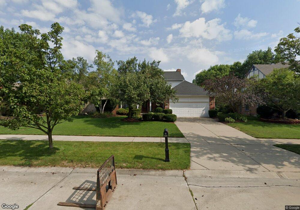
45094 Middlebury Ct Canton, MI 48188
Estimated Value: $515,091 - $599,000
4
Beds
3
Baths
2,347
Sq Ft
$239/Sq Ft
Est. Value
About This Home
This home is located at 45094 Middlebury Ct, Canton, MI 48188 and is currently estimated at $561,023, approximately $239 per square foot. 45094 Middlebury Ct is a home located in Wayne County with nearby schools including Bentley Elementary School, Canton High School, and Plymouth High School.
Ownership History
Date
Name
Owned For
Owner Type
Purchase Details
Closed on
May 3, 2017
Sold by
Bir David S and Bir Cynthia A
Bought by
Nobles Darryl T
Current Estimated Value
Home Financials for this Owner
Home Financials are based on the most recent Mortgage that was taken out on this home.
Original Mortgage
$280,321
Outstanding Balance
$233,474
Interest Rate
4.5%
Mortgage Type
FHA
Estimated Equity
$327,549
Purchase Details
Closed on
Feb 24, 2012
Sold by
Bir David S and Bir Cynthia A
Bought by
Bir David S and Bir Cynthia A
Create a Home Valuation Report for This Property
The Home Valuation Report is an in-depth analysis detailing your home's value as well as a comparison with similar homes in the area
Home Values in the Area
Average Home Value in this Area
Purchase History
| Date | Buyer | Sale Price | Title Company |
|---|---|---|---|
| Nobles Darryl T | $290,000 | Chicago Title Agency Inc | |
| Bir David S | -- | None Available |
Source: Public Records
Mortgage History
| Date | Status | Borrower | Loan Amount |
|---|---|---|---|
| Open | Nobles Darryl T | $280,321 |
Source: Public Records
Tax History
| Year | Tax Paid | Tax Assessment Tax Assessment Total Assessment is a certain percentage of the fair market value that is determined by local assessors to be the total taxable value of land and additions on the property. | Land | Improvement |
|---|---|---|---|---|
| 2025 | $3,391 | $238,500 | $0 | $0 |
| 2024 | $3,294 | $218,700 | $0 | $0 |
| 2023 | $3,141 | $198,900 | $0 | $0 |
| 2022 | $6,796 | $176,500 | $0 | $0 |
| 2021 | $6,594 | $172,200 | $0 | $0 |
| 2020 | $6,513 | $166,100 | $0 | $0 |
| 2019 | $6,394 | $160,970 | $0 | $0 |
| 2018 | $2,669 | $151,550 | $0 | $0 |
| 2017 | $5,802 | $147,600 | $0 | $0 |
| 2016 | $7,609 | $143,000 | $0 | $0 |
| 2015 | $13,130 | $138,550 | $0 | $0 |
| 2013 | $12,806 | $133,520 | $0 | $0 |
| 2010 | -- | $120,320 | $60,740 | $59,580 |
Source: Public Records
Map
Nearby Homes
- 45169 Middlebury Ln
- 43935 Marne Ct
- 407 Fairfield Ct
- 45246 Gerald Ct
- 1550 Valentine Ct
- 290 Edington Cir Unit 62
- 298 Edington Cir Unit 32
- 43761 Yorktown St
- 241 Edington Cir
- 215 Edington Cir
- 43880 Cherry Grove Ct W
- 321 Cherry Grove Rd
- 610 Cherry Grove Rd
- 43935 Harsdale Dr
- 446 Cherry Stone Dr Unit 54
- 802 Cherry Stone Dr
- 43552 Karli Ln
- 46501 Killarney Cir
- 43846 Cherry Grove Ct E
- 43674 Christopher Ct
- 45074 Middlebury Ct
- 45112 Middlebury Ct
- 45095 Turnberry Ct
- 45054 Middlebury Ct
- 45113 Turnberry Ct
- 45075 Turnberry Ct
- 45093 Middlebury Ct
- 45111 Middlebury Ct
- 45165 Turnberry Ct
- 45073 Middlebury Ct
- 45055 Turnberry Ct
- 45036 Middlebury Ct
- 45053 Middlebury Ct
- 45033 Turnberry Ct
- 45170 Middlebury Ln
- 45020 Middlebury Ct
- 45035 Middlebury Ct
- 45092 Lothrop Ct
- 45110 Lothrop Ct
- 45072 Lothrop Ct
Your Personal Tour Guide
Ask me questions while you tour the home.