451 Burning Tree Ct Half Moon Bay, CA 94019
Estimated Value: $1,593,364 - $1,852,000
2
Beds
2
Baths
2,020
Sq Ft
$862/Sq Ft
Est. Value
About This Home
This home is located at 451 Burning Tree Ct, Half Moon Bay, CA 94019 and is currently estimated at $1,742,091, approximately $862 per square foot. 451 Burning Tree Ct is a home located in San Mateo County with nearby schools including Alvin S. Hatch Elementary School, Manuel F. Cunha Intermediate School, and Half Moon Bay High School.
Ownership History
Date
Name
Owned For
Owner Type
Purchase Details
Closed on
Feb 4, 2000
Sold by
Grant Ruth H and Grant Lawrence H
Bought by
Grant Lawrence Hunter and Grant Ruth S
Current Estimated Value
Purchase Details
Closed on
May 22, 1997
Sold by
Juntunen Craig M
Bought by
Grant Lawrence H and Grant Ruth H
Create a Home Valuation Report for This Property
The Home Valuation Report is an in-depth analysis detailing your home's value as well as a comparison with similar homes in the area
Home Values in the Area
Average Home Value in this Area
Purchase History
| Date | Buyer | Sale Price | Title Company |
|---|---|---|---|
| Grant Lawrence Hunter | -- | -- | |
| Grant Lawrence H | $385,000 | Commonwealth Land Title Co |
Source: Public Records
Tax History Compared to Growth
Tax History
| Year | Tax Paid | Tax Assessment Tax Assessment Total Assessment is a certain percentage of the fair market value that is determined by local assessors to be the total taxable value of land and additions on the property. | Land | Improvement |
|---|---|---|---|---|
| 2025 | $8,607 | $656,066 | $313,509 | $342,557 |
| 2023 | $8,607 | $630,592 | $301,336 | $329,256 |
| 2022 | $8,002 | $618,229 | $295,428 | $322,801 |
| 2021 | $7,755 | $606,108 | $289,636 | $316,472 |
| 2020 | $7,646 | $599,895 | $286,667 | $313,228 |
| 2019 | $7,471 | $588,134 | $281,047 | $307,087 |
| 2018 | $7,196 | $576,603 | $275,537 | $301,066 |
| 2017 | $6,893 | $565,298 | $270,135 | $295,163 |
| 2016 | $6,809 | $554,215 | $264,839 | $289,376 |
| 2015 | $6,661 | $545,891 | $260,861 | $285,030 |
| 2014 | $6,500 | $535,199 | $255,752 | $279,447 |
Source: Public Records
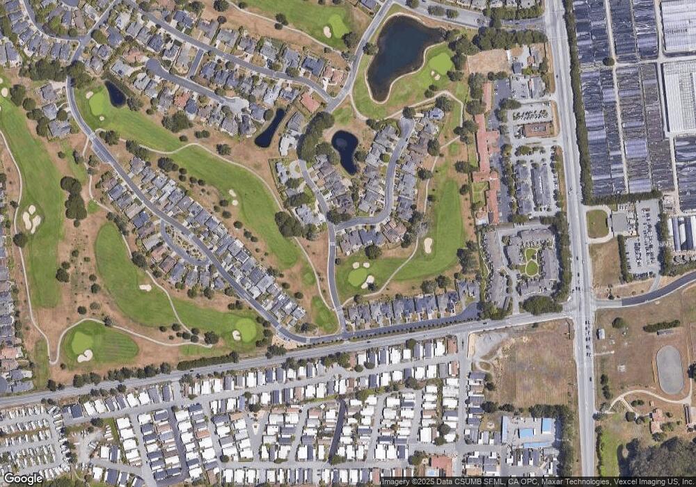
Map
Nearby Homes
- 2329 Burning Tree Rd
- 440 Burning Tree Ct
- 2300 Burning Tree Rd
- 32 Oceanview Ave Unit 32
- 7 Sea Shell Cir Unit 7
- 8 Coral Way Unit 8
- 6 Sunset Terrace Unit 6
- 19 Dolphin Ct Unit 19
- 69 Creekside Dr Unit 69
- 84 Creekside Dr Unit 84
- 22 Sea Breeze Dr Unit 22
- 535 Creekside Dr
- 22 Seascape Dr Unit 22
- 1 Driftwood Trail Unit 1
- 388 Greenbrier Rd
- 21 Merion Rd
- 121 Carnoustie Dr
- 0 Redondo Beach Rd Unit 425036735
- 200 Dolores Ave
- 110 Dolores Ave
- 447 Burning Tree Ct
- 443 Burning Tree Ct
- 450 Burning Tree Ct
- 439 Burning Tree Ct
- 2340 Burning Tree Rd
- 435 Burning Tree Ct
- 2319 Burning Tree Rd
- 2309 Burning Tree Rd
- 420 Burning Tree Ct
- 427 Burning Tree Ct
- 2330 Burning Tree Rd
- 451 Winged Foot Rd
- 455 Winged Foot Rd
- 2299 Burning Tree Rd
- 423 Burning Tree Ct
- 459 Winged Foot Rd
- 410 Burning Tree Ct
- 463 Winged Foot Rd
- 419 Burning Tree Ct
- 467 Winged Foot Rd