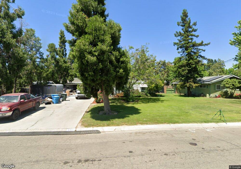
451 Grant Way Yuba City, CA 95991
Estimated Value: $308,000 - $399,184
3
Beds
2
Baths
1,506
Sq Ft
$242/Sq Ft
Est. Value
About This Home
This home is located at 451 Grant Way, Yuba City, CA 95991 and is currently estimated at $363,796, approximately $241 per square foot. 451 Grant Way is a home located in Sutter County with nearby schools including King Avenue Elementary School, Gray Avenue Middle School, and River Valley High School.
Ownership History
Date
Name
Owned For
Owner Type
Purchase Details
Closed on
Nov 15, 2023
Sold by
Ferris Collyn
Bought by
Collyn Ferris Revocable Living Trust and Ferris
Current Estimated Value
Purchase Details
Closed on
Jun 10, 2003
Sold by
Ferris Collyn and Grijalva Roberto
Bought by
Ferris Collyn
Home Financials for this Owner
Home Financials are based on the most recent Mortgage that was taken out on this home.
Original Mortgage
$150,000
Interest Rate
6.37%
Mortgage Type
Purchase Money Mortgage
Purchase Details
Closed on
Jan 11, 2001
Sold by
Hud
Bought by
Grijalva Roberto J
Home Financials for this Owner
Home Financials are based on the most recent Mortgage that was taken out on this home.
Original Mortgage
$101,850
Interest Rate
7.65%
Purchase Details
Closed on
Sep 12, 2000
Sold by
Spohr Stefan F and Lee Spohr Linda
Bought by
Countrywide Home Loans Inc
Create a Home Valuation Report for This Property
The Home Valuation Report is an in-depth analysis detailing your home's value as well as a comparison with similar homes in the area
Home Values in the Area
Average Home Value in this Area
Purchase History
| Date | Buyer | Sale Price | Title Company |
|---|---|---|---|
| Collyn Ferris Revocable Living Trust | -- | None Listed On Document | |
| Ferris Collyn | -- | Alliance Title Company | |
| Grijalva Roberto J | $105,000 | Stewart Title | |
| Countrywide Home Loans Inc | $123,426 | First American Title Ins Co |
Source: Public Records
Mortgage History
| Date | Status | Borrower | Loan Amount |
|---|---|---|---|
| Previous Owner | Ferris Collyn | $150,000 | |
| Previous Owner | Grijalva Roberto J | $101,850 |
Source: Public Records
Tax History Compared to Growth
Tax History
| Year | Tax Paid | Tax Assessment Tax Assessment Total Assessment is a certain percentage of the fair market value that is determined by local assessors to be the total taxable value of land and additions on the property. | Land | Improvement |
|---|---|---|---|---|
| 2025 | $2,337 | $211,434 | $54,663 | $156,771 |
| 2024 | $2,337 | $207,290 | $53,592 | $153,698 |
| 2023 | $2,337 | $203,227 | $52,542 | $150,685 |
| 2022 | $2,242 | $199,243 | $51,512 | $147,731 |
| 2021 | $2,216 | $195,356 | $50,512 | $144,844 |
| 2020 | $2,176 | $193,352 | $49,994 | $143,358 |
| 2019 | $2,128 | $189,560 | $49,013 | $140,547 |
| 2018 | $2,096 | $185,844 | $48,052 | $137,792 |
| 2017 | $1,908 | $170,000 | $75,000 | $95,000 |
| 2016 | $1,818 | $162,000 | $65,000 | $97,000 |
| 2015 | $1,737 | $155,000 | $60,000 | $95,000 |
| 2014 | $1,672 | $148,000 | $50,000 | $98,000 |
Source: Public Records
Map
Nearby Homes
- 1476 Wendell Way
- 540 Carroll St
- 1640 Melanie Ln
- 0 Market St
- 1508 Upland Dr
- 642 Winslow Dr
- 1410 Upland Dr
- 1307 Stafford Way
- 716 King Ave
- 661 Cassidy Ave
- 771 April Ln
- 785 Regent Loop
- 790 Queens Ave
- 1194 Rosemary Ln
- 1779 Tamarack Dr
- 1139 Casita Dr Unit 3
- 811 Francis Way
- 989 Northgate Dr
- 1136 Forestwood Dr
- 1160 Forestwood Dr