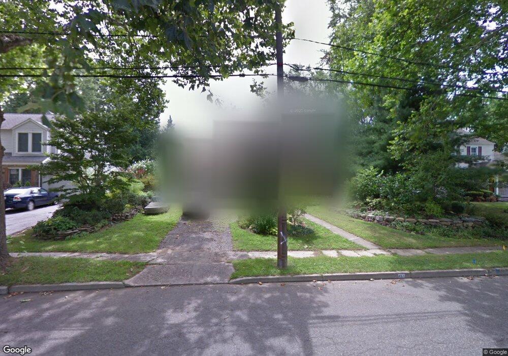
451 Hasbrouck Blvd Oradell, NJ 07649
Estimated Value: $1,019,000 - $1,170,796
Studio
--
Bath
2,686
Sq Ft
$411/Sq Ft
Est. Value
About This Home
This home is located at 451 Hasbrouck Blvd, Oradell, NJ 07649 and is currently estimated at $1,104,199, approximately $411 per square foot. 451 Hasbrouck Blvd is a home located in Bergen County with nearby schools including Oradell Elementary School, River Dell Middle School, and River Dell Regional High School.
Ownership History
Date
Name
Owned For
Owner Type
Purchase Details
Closed on
Aug 21, 2000
Bought by
Herson Michael J
Current Estimated Value
Home Financials for this Owner
Home Financials are based on the most recent Mortgage that was taken out on this home.
Original Mortgage
$133,000
Interest Rate
7.83%
Purchase Details
Closed on
Feb 17, 1994
Sold by
Est Of Anne Vasoli
Bought by
Herson Michael and Andro Marguerie
Home Financials for this Owner
Home Financials are based on the most recent Mortgage that was taken out on this home.
Original Mortgage
$175,000
Interest Rate
7.18%
Create a Home Valuation Report for This Property
The Home Valuation Report is an in-depth analysis detailing your home's value as well as a comparison with similar homes in the area
Home Values in the Area
Average Home Value in this Area
Purchase History
| Date | Buyer | Sale Price | Title Company |
|---|---|---|---|
| Herson Michael J | -- | -- | |
| Herson Michael J | -- | -- | |
| Herson Michael | $218,500 | -- |
Source: Public Records
Mortgage History
| Date | Status | Borrower | Loan Amount |
|---|---|---|---|
| Previous Owner | Herson Michael J | $133,000 | |
| Previous Owner | Herson Michael | $175,000 |
Source: Public Records
Tax History
| Year | Tax Paid | Tax Assessment Tax Assessment Total Assessment is a certain percentage of the fair market value that is determined by local assessors to be the total taxable value of land and additions on the property. | Land | Improvement |
|---|---|---|---|---|
| 2025 | $20,782 | $904,400 | $425,000 | $479,400 |
| 2024 | $20,277 | $763,500 | $337,600 | $425,900 |
| 2023 | $19,405 | $760,000 | $336,300 | $423,700 |
| 2022 | $19,405 | $725,700 | $323,800 | $401,900 |
| 2021 | $19,236 | $688,000 | $303,100 | $384,900 |
| 2020 | $18,874 | $683,100 | $300,600 | $382,500 |
| 2019 | $18,705 | $671,400 | $296,100 | $375,300 |
| 2018 | $18,337 | $668,000 | $297,600 | $370,400 |
| 2017 | $17,733 | $656,300 | $293,100 | $363,200 |
| 2016 | $16,606 | $558,000 | $267,500 | $290,500 |
| 2015 | $16,243 | $558,000 | $267,500 | $290,500 |
| 2014 | $15,535 | $555,300 | $267,500 | $287,800 |
Source: Public Records
Map
Nearby Homes
- 445 Hasbrouck Blvd
- 457 Hasbrouck Blvd
- 439 Hasbrouck Blvd
- 463 Hasbrouck Blvd
- 452 Bergen Blvd
- 446 Bergen Blvd
- 458 Bergen Blvd
- 442 Bergen Blvd
- 454 Hasbrouck Blvd
- 465 Hasbrouck Blvd
- 464 Bergen Blvd
- 446 Hasbrouck Blvd
- 458 Hasbrouck Blvd
- 433 Hasbrouck Blvd
- 353 Pershing Ave
- 440 Hasbrouck Blvd
- 469 Hasbrouck Blvd
- 470 Bergen Blvd
- 466 Hasbrouck Blvd
- 434 Bergen Blvd
Your Personal Tour Guide
Ask me questions while you tour the home.