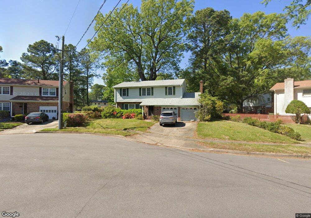
451 Leepoint Rd Norfolk, VA 23502
Poplar Hall NeighborhoodEstimated Value: $404,671 - $467,000
4
Beds
3
Baths
2,422
Sq Ft
$177/Sq Ft
Est. Value
About This Home
This home is located at 451 Leepoint Rd, Norfolk, VA 23502 and is currently estimated at $429,418, approximately $177 per square foot. 451 Leepoint Rd is a home located in Norfolk City with nearby schools including Lake Taylor School, B.T. Washington High School, and St. Peter's Episcopal Day School.
Ownership History
Date
Name
Owned For
Owner Type
Purchase Details
Closed on
Apr 26, 2013
Sold by
Craig Mildred R
Bought by
Olson Albert F
Current Estimated Value
Home Financials for this Owner
Home Financials are based on the most recent Mortgage that was taken out on this home.
Original Mortgage
$178,400
Outstanding Balance
$126,891
Interest Rate
3.64%
Mortgage Type
New Conventional
Estimated Equity
$302,527
Purchase Details
Closed on
Aug 6, 2012
Sold by
Craig Mildred R
Bought by
Craig Mildred R
Create a Home Valuation Report for This Property
The Home Valuation Report is an in-depth analysis detailing your home's value as well as a comparison with similar homes in the area
Home Values in the Area
Average Home Value in this Area
Purchase History
| Date | Buyer | Sale Price | Title Company |
|---|---|---|---|
| Olson Albert F | $223,000 | None Available | |
| Craig Mildred R | -- | None Available |
Source: Public Records
Mortgage History
| Date | Status | Borrower | Loan Amount |
|---|---|---|---|
| Open | Olson Albert F | $178,400 |
Source: Public Records
Tax History
| Year | Tax Paid | Tax Assessment Tax Assessment Total Assessment is a certain percentage of the fair market value that is determined by local assessors to be the total taxable value of land and additions on the property. | Land | Improvement |
|---|---|---|---|---|
| 2025 | $4,305 | $344,400 | $100,500 | $243,900 |
| 2024 | $4,169 | $333,500 | $100,500 | $233,000 |
| 2023 | $4,113 | $329,000 | $100,500 | $228,500 |
| 2022 | $3,764 | $301,100 | $83,200 | $217,900 |
| 2021 | $3,326 | $266,100 | $63,000 | $203,100 |
| 2020 | $3,276 | $262,100 | $63,000 | $199,100 |
| 2019 | $3,179 | $254,300 | $63,000 | $191,300 |
| 2018 | $3,128 | $250,200 | $63,000 | $187,200 |
| 2017 | $2,901 | $252,300 | $63,000 | $189,300 |
| 2016 | $2,901 | $261,100 | $63,000 | $198,100 |
| 2015 | $3,003 | $261,100 | $63,000 | $198,100 |
| 2014 | $3,003 | $261,100 | $63,000 | $198,100 |
Source: Public Records
Map
Nearby Homes
- 5207 Riverwood Rd
- 5532 Poplar Hall Dr
- 5535 Sandpiper Ln
- 3767 Brennan Ave
- 803 Townsend Ct
- 5537 Barnhollow Rd
- 617 Westcove Ct
- 5329 River Edge Rd
- 225 Betty Ct
- 836 Townsend Place
- 3731 Brennan Ave
- 5480 Bayberry Dr
- 717 Bayberry Ln
- 3664 Kentucky Ave
- 5235 Doswell St
- 5533 Levine Ct
- 3651 Wedgefield Ave
- 862 E Sparrow Rd
- 460 Shorewood Ct
- 5642 Brickell Rd
- 455 Leepoint Rd
- 447 Leepoint Rd
- 431 Leepoint Rd
- 427 Leepoint Rd
- 462 Leepoint Rd
- 5325 Halter Ln
- 5331 Halter Ln
- 450 Leepoint Rd
- 5319 Halter Ln
- 454 Leepoint Rd
- 458 Leepoint Rd
- 436 Leepoint Rd
- 421 Leepoint Rd
- 440 Leepoint Rd
- 428 Leepoint Rd
- 446 Leepoint Rd
- 5313 Halter Ln
- 424 Leepoint Rd
- 442 Leepoint Rd
- 433 Beacon Hill Cir
Your Personal Tour Guide
Ask me questions while you tour the home.