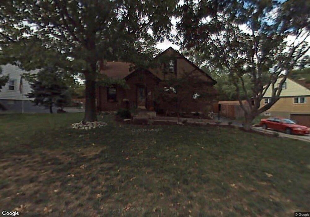
451 Samoht Ridge Rd Cincinnati, OH 45238
Central Delhi NeighborhoodEstimated Value: $217,000 - $260,000
4
Beds
2
Baths
1,166
Sq Ft
$199/Sq Ft
Est. Value
About This Home
This home is located at 451 Samoht Ridge Rd, Cincinnati, OH 45238 and is currently estimated at $231,674, approximately $198 per square foot. 451 Samoht Ridge Rd is a home located in Hamilton County with nearby schools including Delshire Elementary School, Delhi Middle School, and Oak Hills High School.
Ownership History
Date
Name
Owned For
Owner Type
Purchase Details
Closed on
Nov 23, 2016
Sold by
Wright Ii Edward F and Wright Melissa L
Bought by
Palmer Nikkia Renee
Current Estimated Value
Home Financials for this Owner
Home Financials are based on the most recent Mortgage that was taken out on this home.
Original Mortgage
$122,637
Outstanding Balance
$102,852
Interest Rate
4.5%
Mortgage Type
FHA
Estimated Equity
$128,822
Purchase Details
Closed on
Oct 17, 1998
Sold by
Knue Deborah A and Shinkle Deborah A
Bought by
Wright Ii Edward F and Wright Melissa L
Create a Home Valuation Report for This Property
The Home Valuation Report is an in-depth analysis detailing your home's value as well as a comparison with similar homes in the area
Home Values in the Area
Average Home Value in this Area
Purchase History
| Date | Buyer | Sale Price | Title Company |
|---|---|---|---|
| Palmer Nikkia Renee | $124,900 | -- | |
| Wright Ii Edward F | $78,000 | -- |
Source: Public Records
Mortgage History
| Date | Status | Borrower | Loan Amount |
|---|---|---|---|
| Open | Palmer Nikkia Renee | $12,502 | |
| Open | Palmer Nikkia Renee | $122,637 | |
| Previous Owner | Wright Ii Edward F | $127,500 | |
| Previous Owner | Wright Ii Edward F | $30,900 | |
| Previous Owner | Wright Ii Edward F | $130,000 | |
| Previous Owner | Wright Ii Edward F | $119,825 | |
| Previous Owner | Wright Ii Edward F | $43,575 | |
| Previous Owner | Wright Ii Edward F | $70,550 |
Source: Public Records
Tax History Compared to Growth
Tax History
| Year | Tax Paid | Tax Assessment Tax Assessment Total Assessment is a certain percentage of the fair market value that is determined by local assessors to be the total taxable value of land and additions on the property. | Land | Improvement |
|---|---|---|---|---|
| 2024 | $3,202 | $55,052 | $6,489 | $48,563 |
| 2023 | $3,210 | $55,052 | $6,489 | $48,563 |
| 2022 | $3,322 | $50,712 | $5,982 | $44,730 |
| 2021 | $3,256 | $50,712 | $5,982 | $44,730 |
| 2020 | $3,300 | $50,712 | $5,982 | $44,730 |
| 2019 | $3,166 | $43,716 | $5,156 | $38,560 |
| 2018 | $3,169 | $43,716 | $5,156 | $38,560 |
| 2017 | $2,863 | $43,716 | $5,156 | $38,560 |
| 2016 | $1,402 | $20,164 | $6,710 | $13,454 |
| 2015 | $1,385 | $20,164 | $6,710 | $13,454 |
| 2014 | $1,385 | $20,164 | $6,710 | $13,454 |
| 2013 | $1,374 | $21,224 | $7,063 | $14,161 |
Source: Public Records
Map
Nearby Homes
- 4310 Mayhew Ave
- 4274 Paul Rd
- 4305 Sunburst Ln
- 4226 Skylark Dr
- 408 Roebling Rd
- 451 Kitty Ln
- 4340 Valence Dr
- 4382 Valence Dr
- 4082 Mardon Place
- 440 Pedretti Ave
- 4212 Delryan Dr
- 494 Lobob Ct
- 620 Trenton Ave
- 4364 Champdale Ln
- 617 Trenton Ave
- 4260 Delridge Dr
- 1052 Delhi Ave
- 700 Trenton Ave
- 749 Wilbud Dr
- 761 Wilbud Dr
- 447 Samoht Ridge Rd
- 455 Samoht Ridge Rd
- 443 Samoht Ridge Rd
- 457 Samoht Ridge Rd
- 446 Samoht Ridge Rd
- 444 Samoht Ridge Rd
- 444 Samoht Ridge Rd
- 441 Samoht Ridge Rd
- 461 Samoht Ridge Rd
- 450 Samoht Ridge Rd
- 454 Samoht Ridge Rd
- 448 Samoht Ridge Rd
- 456 Samoht Ridge Rd
- 463 Samoht Ridge Rd
- 437 Samoht Ridge Rd
- 442 Leath Ave
- 440 Samoht Ridge Rd
- 460 Samoht Ridge Rd
- 444 Leath Ave
- 442 Samoht Ridge Rd