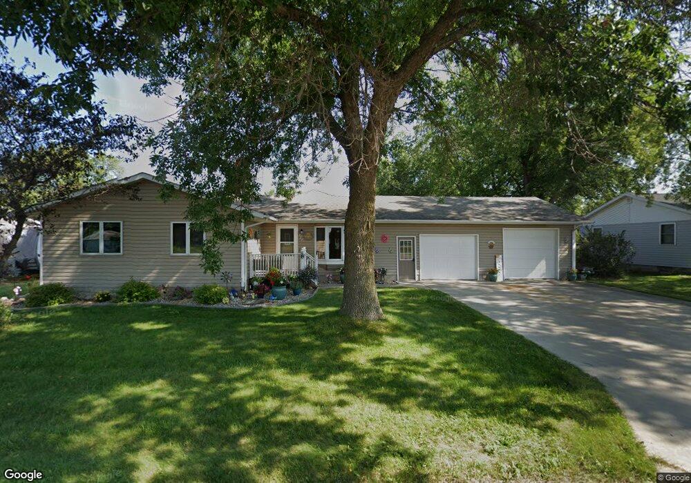
451 Shellrock Ln Glenville, MN 56036
Estimated Value: $227,000 - $302,000
2
Beds
3
Baths
1,920
Sq Ft
$143/Sq Ft
Est. Value
About This Home
This home is located at 451 Shellrock Ln, Glenville, MN 56036 and is currently estimated at $273,674, approximately $142 per square foot. 451 Shellrock Ln is a home located in Freeborn County with nearby schools including Glenville Emmons Elementary School and Glenville-Emmons Secondary School.
Ownership History
Date
Name
Owned For
Owner Type
Purchase Details
Closed on
Aug 1, 2019
Sold by
Rasmusson Ronald D and Rasmusson Bonnie L
Bought by
Rasmusson Ryan M
Current Estimated Value
Home Financials for this Owner
Home Financials are based on the most recent Mortgage that was taken out on this home.
Original Mortgage
$137,600
Outstanding Balance
$120,512
Interest Rate
3.7%
Mortgage Type
New Conventional
Estimated Equity
$153,162
Create a Home Valuation Report for This Property
The Home Valuation Report is an in-depth analysis detailing your home's value as well as a comparison with similar homes in the area
Home Values in the Area
Average Home Value in this Area
Purchase History
| Date | Buyer | Sale Price | Title Company |
|---|---|---|---|
| Rasmusson Ryan M | $172,000 | None Available |
Source: Public Records
Mortgage History
| Date | Status | Borrower | Loan Amount |
|---|---|---|---|
| Open | Rasmusson Ryan M | $137,600 |
Source: Public Records
Tax History Compared to Growth
Tax History
| Year | Tax Paid | Tax Assessment Tax Assessment Total Assessment is a certain percentage of the fair market value that is determined by local assessors to be the total taxable value of land and additions on the property. | Land | Improvement |
|---|---|---|---|---|
| 2025 | $2,770 | $295,300 | $17,000 | $278,300 |
| 2024 | $2,868 | $264,000 | $17,000 | $247,000 |
| 2023 | $2,528 | $239,400 | $17,000 | $222,400 |
| 2022 | $2,028 | $229,900 | $17,000 | $212,900 |
| 2021 | $2,000 | $168,000 | $17,000 | $151,000 |
| 2020 | $2,180 | $166,000 | $16,900 | $149,100 |
| 2019 | $1,956 | $158,200 | $16,900 | $141,300 |
| 2018 | $1,812 | $0 | $0 | $0 |
| 2016 | $1,464 | $0 | $0 | $0 |
| 2015 | $1,480 | $0 | $0 | $0 |
| 2014 | $1,296 | $0 | $0 | $0 |
| 2012 | $1,480 | $0 | $0 | $0 |
Source: Public Records
Map
Nearby Homes
- 421 Center Ave S
- 475 1st Ave SW
- 311 2nd Ave NW
- 310 3rd Ave NW
- 15913 810th Ave
- 79317 113th St
- 2216 Eunice Dr
- 2145 Kenneth Dr
- 1917 S Shore Dr
- 1617 S Shore Dr
- 1104 E 18 1/2 St
- 2409 Ethel Ave Unit 100
- 2303 Ethel Ave Unit Lot 49
- 401 Noland Ave
- 106 1st Ave
- 2315 Gene Ave Unit Lot 12
- 811 E 18th St Unit 54
- 102 W Main St
- 2314 Milo Ave
- 10618 760th Ave
- 461 Shellrock Ln
- 441 Shellrock Ln
- 450 Hillcrest Dr
- 440 Hillcrest Dr
- 460 Hillcrest Dr
- 431 Shellrock Ln
- 430 Hillcrest Dr
- 421 Shellrock Ln
- 471 Hillcrest Dr
- 461 Hillcrest Dr
- 481 Hillcrest Dr
- 451 Hillcrest Dr
- 411 Shellrock Ln
- 441 Hillcrest Dr
- 441 Hillcrest Rd
- 431 Hillcrest Dr
- 421 Hillcrest Dr
- 421 Hillcrest Rd
- 460 Shellrock Ln
- 163 Shellrock Ln