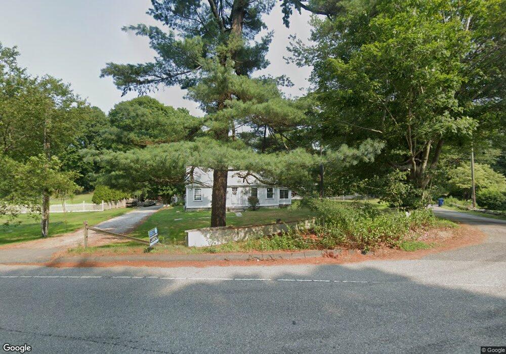
451 Shore Rd Old Lyme, CT 06371
Estimated Value: $554,118 - $637,000
4
Beds
2
Baths
2,204
Sq Ft
$271/Sq Ft
Est. Value
About This Home
This home is located at 451 Shore Rd, Old Lyme, CT 06371 and is currently estimated at $598,280, approximately $271 per square foot. 451 Shore Rd is a home located in New London County with nearby schools including Mile Creek School, Lyme-Old Lyme Middle School, and Lyme-Old Lyme High School.
Ownership History
Date
Name
Owned For
Owner Type
Purchase Details
Closed on
Apr 5, 2000
Sold by
Howard Peter W and Howard Heidi V C
Bought by
Stevens Gail K
Current Estimated Value
Purchase Details
Closed on
Jul 28, 1998
Sold by
Blanchard Michael R and Chapdelaine Karen A
Bought by
Howard Peter W and Howard Heidi V C
Purchase Details
Closed on
Apr 1, 1991
Sold by
Urick Joseph J and Urick Patricia
Bought by
Blanchard Michael R and Chapdelaine Karen A
Purchase Details
Closed on
Oct 31, 1988
Sold by
Sapere Mathew
Bought by
Urick Joseph J
Create a Home Valuation Report for This Property
The Home Valuation Report is an in-depth analysis detailing your home's value as well as a comparison with similar homes in the area
Home Values in the Area
Average Home Value in this Area
Purchase History
| Date | Buyer | Sale Price | Title Company |
|---|---|---|---|
| Stevens Gail K | $175,000 | -- | |
| Howard Peter W | $154,000 | -- | |
| Blanchard Michael R | $167,000 | -- | |
| Urick Joseph J | $150,000 | -- |
Source: Public Records
Mortgage History
| Date | Status | Borrower | Loan Amount |
|---|---|---|---|
| Open | Urick Joseph J | $255,257 | |
| Open | Urick Joseph J | $436,233 |
Source: Public Records
Tax History Compared to Growth
Tax History
| Year | Tax Paid | Tax Assessment Tax Assessment Total Assessment is a certain percentage of the fair market value that is determined by local assessors to be the total taxable value of land and additions on the property. | Land | Improvement |
|---|---|---|---|---|
| 2025 | $4,957 | $305,400 | $85,800 | $219,600 |
| 2024 | $4,785 | $196,100 | $71,400 | $124,700 |
| 2023 | $4,608 | $196,100 | $71,400 | $124,700 |
| 2022 | $4,608 | $196,100 | $71,400 | $124,700 |
| 2021 | $4,569 | $196,100 | $71,400 | $124,700 |
| 2020 | $4,550 | $196,100 | $71,400 | $124,700 |
| 2019 | $2,933 | $208,400 | $63,300 | $145,100 |
| 2018 | $2,883 | $184,200 | $63,300 | $120,900 |
| 2017 | $13 | $184,200 | $63,300 | $120,900 |
| 2016 | $3,905 | $184,200 | $63,300 | $120,900 |
| 2015 | $3,798 | $184,200 | $63,300 | $120,900 |
| 2014 | $4,105 | $208,800 | $63,300 | $145,500 |
Source: Public Records
Map
Nearby Homes
- 2 Riverdale Landing
- 22 Riverdale Landing
- 4 Jean Dr
- 14 Colton Rd
- 15 Freedom Way Unit 92
- 13 Victoria Ln
- 188 4 Mile River Rd
- 15 Short Hills Rd
- 231 Mile Creek Rd
- 245 Giants Neck Rd
- 40 Spinnaker Dr
- 15 Griswold Rd
- 18 Twin Valley Rd
- 3 Twin Valley Rd
- 16 Twin Valley Rd
- 284 Shore Rd
- Waramaug Plan at Riverside Reserve
- Highland Plan at Riverside Reserve
- Hayward Plan at Riverside Reserve
- Ashford Plan at Riverside Reserve