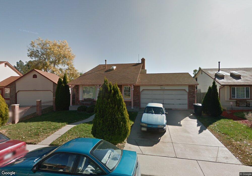
4510 Eugene Way Denver, CO 80239
Montbello NeighborhoodEstimated Value: $384,628 - $454,000
2
Beds
2
Baths
1,212
Sq Ft
$336/Sq Ft
Est. Value
About This Home
This home is located at 4510 Eugene Way, Denver, CO 80239 and is currently estimated at $407,657, approximately $336 per square foot. 4510 Eugene Way is a home located in Denver County with nearby schools including Oakland Elementary School, McGlone Academy, and Pitt-Waller K-8 School.
Ownership History
Date
Name
Owned For
Owner Type
Purchase Details
Closed on
Jan 16, 2021
Sold by
Griego Michael L
Bought by
Griego Michael L and Escamilla Ronny
Current Estimated Value
Purchase Details
Closed on
Dec 12, 2003
Sold by
Griego Judy E
Bought by
Griego Michael L
Home Financials for this Owner
Home Financials are based on the most recent Mortgage that was taken out on this home.
Original Mortgage
$117,750
Interest Rate
8%
Mortgage Type
New Conventional
Create a Home Valuation Report for This Property
The Home Valuation Report is an in-depth analysis detailing your home's value as well as a comparison with similar homes in the area
Home Values in the Area
Average Home Value in this Area
Purchase History
| Date | Buyer | Sale Price | Title Company |
|---|---|---|---|
| Griego Michael L | -- | First American Title | |
| Griego Michael L | -- | -- |
Source: Public Records
Mortgage History
| Date | Status | Borrower | Loan Amount |
|---|---|---|---|
| Closed | Griego Michael L | $117,750 |
Source: Public Records
Tax History
| Year | Tax Paid | Tax Assessment Tax Assessment Total Assessment is a certain percentage of the fair market value that is determined by local assessors to be the total taxable value of land and additions on the property. | Land | Improvement |
|---|---|---|---|---|
| 2025 | $2,029 | $30,090 | $5,290 | $5,290 |
| 2024 | $2,029 | $25,620 | $1,350 | $24,270 |
| 2023 | $1,985 | $25,620 | $1,350 | $24,270 |
| 2022 | $1,904 | $23,940 | $5,220 | $18,720 |
| 2021 | $1,837 | $24,620 | $5,370 | $19,250 |
| 2020 | $1,593 | $21,470 | $5,370 | $16,100 |
| 2019 | $1,548 | $21,470 | $5,370 | $16,100 |
| 2018 | $1,370 | $17,710 | $3,250 | $14,460 |
| 2017 | $1,366 | $17,710 | $3,250 | $14,460 |
| 2016 | $933 | $11,440 | $2,993 | $8,447 |
| 2015 | $894 | $11,440 | $2,993 | $8,447 |
| 2014 | $676 | $8,140 | $1,990 | $6,150 |
Source: Public Records
Map
Nearby Homes
- 4482 Fairplay Way
- 4477 Dearborn St
- 4437 Durham Ct
- 4609 Fontana Way
- 4464 Dumas Ct
- 14574 Andrews Dr
- 4345 Sable St
- 14509 Andrews Dr
- 14436 E Elk Place
- 4887 Duluth Ct
- 14425 Albrook Dr
- 15475 Andrews Dr Unit 208
- 15475 Andrews Dr Unit 206
- 15475 Andrews Dr Unit 304
- 15475 Andrews Dr Unit 307
- 15475 Andrews Dr Unit 316
- 14400 Albrook Dr Unit 55
- 14400 Albrook Dr Unit 80
- 4600 Dillon St
- 15555 E 40th Ave Unit 73
- 4500 Eugene Way
- 4520 Eugene Way
- 4530 Eugene Way
- 14903 E 45th Ave
- 4515 Eureka Ct
- 4521 Eugene Way
- 4505 Eureka Ct
- 4540 Eugene Way
- 4525 Eureka Ct
- 14883 E 45th Ave
- 4490 Eugene Way
- 4535 Eureka Ct
- 14930 E 45th Ave
- 14932 E 45th Ave
- 14902 E 45th Ave
- 14914 E Scott Place
- 14942 E 45th Ave
- 4550 Eugene Way
- 14843 E 45th Ave
- 4470 Eugene Way
Your Personal Tour Guide
Ask me questions while you tour the home.