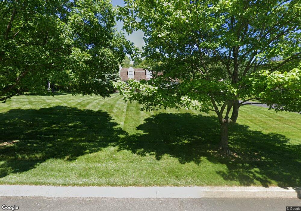
4510 Overlook Cir Doylestown, PA 18902
Estimated Value: $572,000 - $812,000
3
Beds
3
Baths
1,973
Sq Ft
$353/Sq Ft
Est. Value
About This Home
This home is located at 4510 Overlook Cir, Doylestown, PA 18902 and is currently estimated at $695,561, approximately $352 per square foot. 4510 Overlook Cir is a home located in Bucks County with nearby schools including Buckingham Elementary School, Holicong Middle School, and Central Bucks High School - East.
Ownership History
Date
Name
Owned For
Owner Type
Purchase Details
Closed on
Jan 23, 1995
Sold by
Grant Timothy and Grant Lori
Bought by
Bickford H Knox and Bickford Vida C
Current Estimated Value
Home Financials for this Owner
Home Financials are based on the most recent Mortgage that was taken out on this home.
Original Mortgage
$175,500
Interest Rate
7.5%
Purchase Details
Closed on
Apr 13, 1993
Bought by
Grant Timothy and Grant Lori
Create a Home Valuation Report for This Property
The Home Valuation Report is an in-depth analysis detailing your home's value as well as a comparison with similar homes in the area
Home Values in the Area
Average Home Value in this Area
Purchase History
| Date | Buyer | Sale Price | Title Company |
|---|---|---|---|
| Bickford H Knox | $195,000 | -- | |
| Grant Timothy | $175,000 | -- |
Source: Public Records
Mortgage History
| Date | Status | Borrower | Loan Amount |
|---|---|---|---|
| Closed | Bickford H Knox | $175,500 |
Source: Public Records
Tax History Compared to Growth
Tax History
| Year | Tax Paid | Tax Assessment Tax Assessment Total Assessment is a certain percentage of the fair market value that is determined by local assessors to be the total taxable value of land and additions on the property. | Land | Improvement |
|---|---|---|---|---|
| 2025 | $6,538 | $40,160 | $9,640 | $30,520 |
| 2024 | $6,538 | $40,160 | $9,640 | $30,520 |
| 2023 | $6,317 | $40,160 | $9,640 | $30,520 |
| 2022 | $6,241 | $40,160 | $9,640 | $30,520 |
| 2021 | $6,167 | $40,160 | $9,640 | $30,520 |
| 2020 | $6,167 | $40,160 | $9,640 | $30,520 |
| 2019 | $6,126 | $40,160 | $9,640 | $30,520 |
| 2018 | $6,126 | $40,160 | $9,640 | $30,520 |
| 2017 | $6,076 | $40,160 | $9,640 | $30,520 |
| 2016 | $6,136 | $40,160 | $9,640 | $30,520 |
| 2015 | -- | $40,160 | $9,640 | $30,520 |
| 2014 | -- | $40,160 | $9,640 | $30,520 |
Source: Public Records
Map
Nearby Homes
- 2880 Snake Hill Rd
- 4604 Sands Way
- 2728 Red Gate Dr
- 2799 Manion Way
- 4350 Church Rd
- 3111 Burnt House Hill Rd
- 2565 Bogarts Tavern Rd
- 3146 Mill Rd
- 3196 Mill Rd
- 4245 Mechanicsville Rd
- 4871 E Blossom Dr
- 5025 Anderson Rd
- 2479 Wheatfield Ln
- 3889 Robin Rd
- 4928 Edgewood Rd
- 3555 Northview Ln
- 5110 Harmony Ct W
- 3775 Buckingham Dr
- 3015 Yorkshire Rd
- lot #3 next to 3739 York Rd
- 4530 Overlook Cir
- 4505 Overlook Cir
- 2877 Burnt House Hill Rd
- 4525 Overlook Cir
- 2878 Burnt House Hill Rd
- 4500 French Dr
- 4504 Normandy Ct
- 2899 Burnt House Hill Rd
- 4508 Normandy Ct
- 4512 Normandy Ct
- 2838 Snake Hill Rd
- 4570 Overlook Cir
- 4550 Overlook Cir
- 4516 Normandy Ct
- 4501 French Dr
- 2894 Snake Hill Rd
- 4520 Normandy Ct
- 2903 Burnt House Hill Rd
- 4505 French Dr
- 4545 Overlook Cir