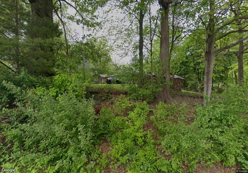
4511 Crandall Rd Battle Creek, MI 49017
Estimated Value: $247,000 - $284,000
3
Beds
2
Baths
1,612
Sq Ft
$162/Sq Ft
Est. Value
About This Home
This home is located at 4511 Crandall Rd, Battle Creek, MI 49017 and is currently estimated at $261,095, approximately $161 per square foot. 4511 Crandall Rd is a home located in Calhoun County with nearby schools including Dudley School, Northwestern Middle School, and Battle Creek Central High School.
Ownership History
Date
Name
Owned For
Owner Type
Purchase Details
Closed on
Jun 30, 2011
Sold by
The Mareo S Tabiadon Living Trust
Bought by
Kimmerly Patrick M and Kimmerly Patricia M
Current Estimated Value
Home Financials for this Owner
Home Financials are based on the most recent Mortgage that was taken out on this home.
Original Mortgage
$117,750
Outstanding Balance
$81,466
Interest Rate
4.63%
Mortgage Type
VA
Estimated Equity
$179,629
Create a Home Valuation Report for This Property
The Home Valuation Report is an in-depth analysis detailing your home's value as well as a comparison with similar homes in the area
Home Values in the Area
Average Home Value in this Area
Purchase History
| Date | Buyer | Sale Price | Title Company |
|---|---|---|---|
| Kimmerly Patrick M | $114,000 | Dba Ppr Title Agency |
Source: Public Records
Mortgage History
| Date | Status | Borrower | Loan Amount |
|---|---|---|---|
| Open | Kimmerly Patrick M | $117,750 |
Source: Public Records
Tax History Compared to Growth
Tax History
| Year | Tax Paid | Tax Assessment Tax Assessment Total Assessment is a certain percentage of the fair market value that is determined by local assessors to be the total taxable value of land and additions on the property. | Land | Improvement |
|---|---|---|---|---|
| 2025 | $2,536 | $93,800 | $0 | $0 |
| 2024 | $1,389 | $88,200 | $0 | $0 |
| 2023 | $2,245 | $76,200 | $0 | $0 |
| 2022 | $1,260 | $68,600 | $0 | $0 |
| 2021 | $2,094 | $63,800 | $0 | $0 |
| 2020 | $2,216 | $61,500 | $0 | $0 |
| 2019 | $2,286 | $58,600 | $0 | $0 |
| 2018 | $1,962 | $56,800 | $16,000 | $40,800 |
| 2017 | $1,962 | $55,000 | $0 | $0 |
| 2016 | $1,962 | $54,700 | $0 | $0 |
| 2015 | -- | $54,500 | $0 | $0 |
| 2014 | -- | $49,400 | $0 | $0 |
Source: Public Records
Map
Nearby Homes
- 22770 Waubascon Rd
- 40 Oak Leaf Ln
- 4279 E Halbert Rd
- 4290 E Halbert Rd
- 22121 Bedford Rd N
- Vl Waubascon Rd Lot Unit WP001
- 22235 Bedford Rd N
- VL Waubascon Rd Lot#wp001
- 118 Red Bird Ln
- 855 Sylvan Dr
- 850 Sylvan Dr
- 6475 Poorman Rd
- 0 Bauman Rd Unit 25034846
- 0 Bauman Rd Unit 25034837
- 15941 S M 37 Hwy
- 5658 Bauman Rd
- 22150 East Ave N
- 6381 Saint Marys Lake Rd
- 0 V L Collier Ave Ave
- 21763 Collier Ave
- 4575 Crandall Rd
- 22449 Waubascon Rd
- 22501 Waubascon Rd
- 4614 Crandall Rd
- 22428 Waubascon Rd
- 22614 Waubascon Rd
- 22429 Waubascon Rd
- V/L Waubascon Rd
- 22622 Waubascon Rd
- 22603 Waubascon Rd
- 4742 Crandall Rd
- 4715 Crandall Rd
- 22344 Waubascon Rd
- 22652 Waubascon Rd
- 22336 Waubascon Rd
- 22660 Waubascon Rd
- 4747 Crandall Rd
- 22300 Waubascon Rd
- 4421 Edmonds Rd
- 22160 Waubascon Rd