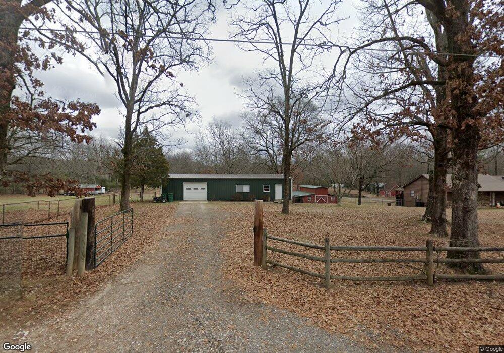
4511 Frank Ellis Rd Little Rock, AR 72210
Western Little Rock NeighborhoodEstimated Value: $447,000 - $708,000
--
Bed
2
Baths
3,060
Sq Ft
$191/Sq Ft
Est. Value
About This Home
This home is located at 4511 Frank Ellis Rd, Little Rock, AR 72210 and is currently estimated at $583,584, approximately $190 per square foot. 4511 Frank Ellis Rd is a home located in Pulaski County with nearby schools including Lawson Elementary School, Joe T. Robinson Middle School, and Joe T. Robinson High School.
Ownership History
Date
Name
Owned For
Owner Type
Purchase Details
Closed on
Nov 30, 2020
Sold by
Black Fred and Black Betty
Bought by
Brown Nicholas A and Brown Susan D
Current Estimated Value
Home Financials for this Owner
Home Financials are based on the most recent Mortgage that was taken out on this home.
Original Mortgage
$380,000
Outstanding Balance
$338,146
Interest Rate
2.8%
Mortgage Type
New Conventional
Estimated Equity
$245,438
Purchase Details
Closed on
Jan 6, 2016
Sold by
Black Fred A and Black Betty M
Bought by
Black Fred and Black Betty
Purchase Details
Closed on
Sep 12, 2005
Sold by
Withers Lisa D
Bought by
Black Fred A and Black Betty M
Home Financials for this Owner
Home Financials are based on the most recent Mortgage that was taken out on this home.
Original Mortgage
$181,000
Interest Rate
5.65%
Mortgage Type
Fannie Mae Freddie Mac
Create a Home Valuation Report for This Property
The Home Valuation Report is an in-depth analysis detailing your home's value as well as a comparison with similar homes in the area
Home Values in the Area
Average Home Value in this Area
Purchase History
| Date | Buyer | Sale Price | Title Company |
|---|---|---|---|
| Brown Nicholas A | $475,000 | Pulaski County Title | |
| Black Fred | -- | Attorney | |
| Black Fred A | $243,000 | American Abstract & Title Co |
Source: Public Records
Mortgage History
| Date | Status | Borrower | Loan Amount |
|---|---|---|---|
| Open | Brown Nicholas A | $380,000 | |
| Previous Owner | Black Fred A | $181,000 |
Source: Public Records
Tax History Compared to Growth
Tax History
| Year | Tax Paid | Tax Assessment Tax Assessment Total Assessment is a certain percentage of the fair market value that is determined by local assessors to be the total taxable value of land and additions on the property. | Land | Improvement |
|---|---|---|---|---|
| 2025 | $3,712 | $73,069 | $19,800 | $53,269 |
| 2024 | $3,712 | $73,069 | $19,800 | $53,269 |
| 2023 | $3,712 | $73,069 | $19,800 | $53,269 |
| 2022 | $3,478 | $73,069 | $19,800 | $53,269 |
| 2021 | $3,167 | $61,350 | $15,400 | $45,950 |
| 2020 | $2,350 | $61,350 | $15,400 | $45,950 |
| 2019 | $2,350 | $61,350 | $15,400 | $45,950 |
| 2018 | $2,375 | $61,350 | $15,400 | $45,950 |
| 2017 | $2,375 | $61,350 | $15,400 | $45,950 |
| 2016 | $2,596 | $57,770 | $19,250 | $38,520 |
| 2015 | $2,856 | $51,105 | $19,250 | $31,855 |
| 2014 | $2,856 | $56,225 | $19,250 | $36,975 |
Source: Public Records
Map
Nearby Homes
- 18821 Lochridge Dr
- 16011 Burleigh Ct
- 16025 Burleigh Ct
- 15109 Angus Ct
- 15108 Angus Ct
- 20201 Running Creek Dr
- 18712 Lochridge Dr
- 3601 Jack Mann Rd
- 20700 Lisa Dr
- 3209 Jack Mann Rd
- Lot 7 Waterview Estates
- 2341 Still Hollow Trail
- 4718 McHenry Creek Cir
- 19229 Colonel Glenn Rd
- 18100 Raines Rd
- Lot 6 Faulkner Rd
- Lot 7 Faulkner Rd
- Lot 5 Faulkner Rd
- 18100 - 003 Raines Rd
- 17419 Elvin Rd
- 4421 Frank Ellis Rd
- 4517 Frank Ellis Rd
- 4500 Frank Ellis Rd
- 4419 Frank Ellis Rd
- 0 Frank Ellis Rd
- 4601 Frank Ellis Rd
- 4416 Frank Ellis Rd
- 19425 Lawson Rd
- 19529 Lawson Rd
- 19415 Lawson Rd
- 4500 Lloyd Rd
- 4800 Frank Ellis Rd
- 19436 Lawson Rd
- 19436 Lawson Rd
- 19436 Lawson Rd
- 4504 Lloyd Rd
- 19617 Lawson Rd
- 19422 Lawson Rd
- 19440 Lawson Rd
- 4801 Frank Ellis Rd