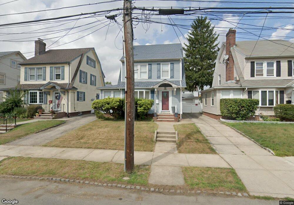
4512 171st St Flushing, NY 11358
Flushing NeighborhoodEstimated Value: $1,087,932 - $1,321,000
Studio
--
Bath
1,596
Sq Ft
$733/Sq Ft
Est. Value
About This Home
This home is located at 4512 171st St, Flushing, NY 11358 and is currently estimated at $1,170,233, approximately $733 per square foot. 4512 171st St is a home located in Queens County with nearby schools including P.S. 107 Thomas A Dooley, I.S. 25 Adrien Block, and Francis Lewis High School.
Ownership History
Date
Name
Owned For
Owner Type
Purchase Details
Closed on
Apr 6, 2015
Sold by
Prendergast Mark J
Bought by
Santiago Darren M and Santiago Emalyn G
Current Estimated Value
Home Financials for this Owner
Home Financials are based on the most recent Mortgage that was taken out on this home.
Original Mortgage
$560,000
Outstanding Balance
$430,785
Interest Rate
3.72%
Mortgage Type
New Conventional
Estimated Equity
$739,448
Purchase Details
Closed on
Nov 3, 1997
Sold by
Prettitore Anthony and Prettitore Rosanna
Bought by
Prendergast Mark J
Home Financials for this Owner
Home Financials are based on the most recent Mortgage that was taken out on this home.
Original Mortgage
$192,000
Interest Rate
7.26%
Create a Home Valuation Report for This Property
The Home Valuation Report is an in-depth analysis detailing your home's value as well as a comparison with similar homes in the area
Home Values in the Area
Average Home Value in this Area
Purchase History
| Date | Buyer | Sale Price | Title Company |
|---|---|---|---|
| Santiago Darren M | $700,000 | -- | |
| Prendergast Mark J | $252,000 | First American Title Ins Co |
Source: Public Records
Mortgage History
| Date | Status | Borrower | Loan Amount |
|---|---|---|---|
| Open | Santiago Darren M | $560,000 | |
| Previous Owner | Prendergast Mark J | $192,000 |
Source: Public Records
Tax History Compared to Growth
Tax History
| Year | Tax Paid | Tax Assessment Tax Assessment Total Assessment is a certain percentage of the fair market value that is determined by local assessors to be the total taxable value of land and additions on the property. | Land | Improvement |
|---|---|---|---|---|
| 2025 | $8,523 | $46,463 | $12,867 | $33,596 |
| 2024 | $8,804 | $43,834 | $12,765 | $31,069 |
| 2023 | $8,025 | $41,353 | $11,585 | $29,768 |
| 2022 | $5,626 | $57,300 | $17,280 | $40,020 |
| 2021 | $7,915 | $55,920 | $17,280 | $38,640 |
| 2020 | $7,900 | $55,080 | $17,280 | $37,800 |
| 2019 | $7,348 | $56,400 | $17,280 | $39,120 |
| 2018 | $6,727 | $34,461 | $12,015 | $22,446 |
| 2017 | $6,328 | $32,512 | $12,722 | $19,790 |
| 2016 | $6,190 | $32,512 | $12,722 | $19,790 |
| 2015 | $1,055 | $32,266 | $15,860 | $16,406 |
| 2014 | $1,055 | $30,440 | $15,736 | $14,704 |
Source: Public Records
Map
Nearby Homes
- 4360 Auburndale Ln
- 43-60 Auburndale Ln
- 4564 170th St
- 43-52 169th St
- 4321 172nd St
- 45-32 Utopia Pkwy
- 4547 166th St
- 188-02 Northern Blvd
- 171-06 Bagley Ave
- 167-22 Northern Blvd
- 42-25 189th St
- 43-15 164th St
- 45-74 164th St
- 163-02 45th Ave
- 45-35 163rd St
- 43-33 163rd St
- 43-58 163rd St
- 45-39 192nd St
- 4539 192nd St
- 190-17 42nd Ave