Estimated Value: $541,000 - $650,000
5
Beds
3
Baths
3,344
Sq Ft
$175/Sq Ft
Est. Value
About This Home
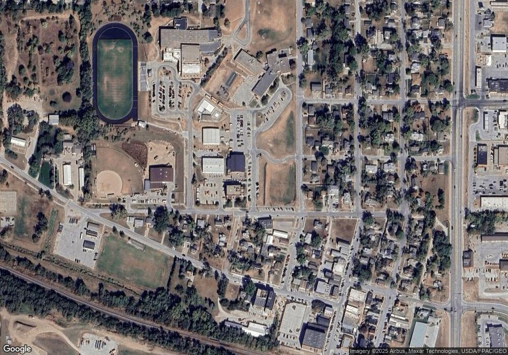
This home is located at 4512 207, Omaha, NE 68022 and is currently estimated at $585,921, approximately $175 per square foot. 4512 207 is a home located in Douglas County with nearby schools including Arbor View Elementary School, Elkhorn Middle School, and Elkhorn High School.
Ownership History
Date
Name
Owned For
Owner Type
Purchase Details
Closed on
May 20, 2016
Sold by
Walko Robert B and Walko Maralyn A
Bought by
Peters Daniel and Shultz Cindy
Current Estimated Value
Home Financials for this Owner
Home Financials are based on the most recent Mortgage that was taken out on this home.
Original Mortgage
$377,500
Outstanding Balance
$299,829
Interest Rate
3.59%
Mortgage Type
VA
Estimated Equity
$286,092
Purchase Details
Closed on
Aug 17, 2012
Sold by
Beller Dale L and Hogan Kara
Bought by
Walko Robert B and Walko Maralyn A
Home Financials for this Owner
Home Financials are based on the most recent Mortgage that was taken out on this home.
Original Mortgage
$346,750
Interest Rate
3.59%
Mortgage Type
New Conventional
Purchase Details
Closed on
May 18, 2006
Sold by
Millennium Homes Inc
Bought by
Dale L Beller
Purchase Details
Closed on
Feb 17, 2006
Sold by
Gottsch Land Co
Bought by
Millennium Homes Inc
Create a Home Valuation Report for This Property
The Home Valuation Report is an in-depth analysis detailing your home's value as well as a comparison with similar homes in the area
Home Values in the Area
Average Home Value in this Area
Purchase History
| Date | Buyer | Sale Price | Title Company |
|---|---|---|---|
| Peters Daniel | $378,000 | Charter Title & Escrow Co | |
| Walko Robert B | $365,000 | Nebraska Land Title & Abstra | |
| Dale L Beller | $40,300 | -- | |
| Millennium Homes Inc | $39,900 | -- |
Source: Public Records
Mortgage History
| Date | Status | Borrower | Loan Amount |
|---|---|---|---|
| Open | Peters Daniel | $377,500 | |
| Previous Owner | Walko Robert B | $346,750 |
Source: Public Records
Tax History Compared to Growth
Tax History
| Year | Tax Paid | Tax Assessment Tax Assessment Total Assessment is a certain percentage of the fair market value that is determined by local assessors to be the total taxable value of land and additions on the property. | Land | Improvement |
|---|---|---|---|---|
| 2024 | -- | $473,300 | $54,800 | $418,500 |
| 2023 | -- | $473,300 | $54,800 | $418,500 |
| 2022 | $0 | $387,400 | $54,800 | $332,600 |
| 2021 | $0 | $387,400 | $54,800 | $332,600 |
| 2020 | $0 | $387,400 | $54,800 | $332,600 |
| 2019 | $9,970 | $356,900 | $54,800 | $302,100 |
| 2018 | $9,994 | $356,900 | $54,800 | $302,100 |
| 2017 | $9,995 | $356,900 | $54,800 | $302,100 |
| 2016 | $10,069 | $360,200 | $36,900 | $323,300 |
| 2015 | $10,010 | $356,800 | $33,500 | $323,300 |
| 2014 | $10,010 | $356,800 | $33,500 | $323,300 |
Source: Public Records
Map
Nearby Homes
- 4504 N 206th St
- 4606 N 205th Ave
- 21315 Boyd St
- 21319 Boyd St
- 21413 Boyd St
- 21221 Boyd St
- 21205 Boyd St
- 21317 Taylor Cir
- 20506 Taylor St
- 21320 Grand Ave
- 21217 Grand Ave
- 4113 N 208th St
- 21335 Taylor Cir
- 21408 Taylor Cir
- 21330 Taylor Cir
- 20926 Fowler Ave
- 4659 N 210th Ave
- 4668 N 210th Ave
- 21303 Sunburst Ave
- 21308 Sunburst Ave
- 4512 N 207th Cir
- 4510 N 207th Cir
- 4514 N 207th Cir
- 4514 N 207th Cir Unit 1
- 20704 Meredith Cir
- 4609 N 208th St
- 4510 N 207 Cir
- 20708 Meredith Cir
- 4617 N 208th St
- 4508 N 207th Cir
- 4613 N 208th St
- 4508 N 207th Cir
- 4515 N 207th Cir
- 20712 Meredith Cir
- 4511 N 207th Cir
- 4621 N 208th St
- 20703 Meredith Cir
- 4513 N 207th Cir
- 4509 N 207th Cir
- 4506 N 207th Cir
